Description
Overview
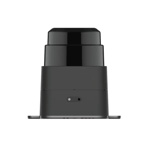
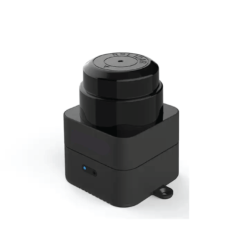
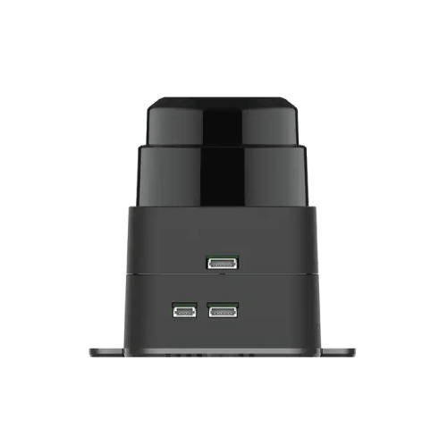
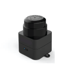
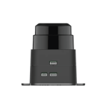
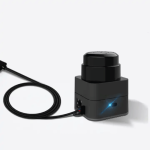
GAOTek mapping LiDAR sensor is a new laser range scanner category integrating map building and real time localization and navigation, containing the SLAMTEC third generation high-performance SLAM engine and laser range scanner. Plug and play, without any external dependence. It is suitable to be applied in application fields like robot localization and navigation, environment surveying and mapping and etc.
Features
- Large Scenarios
- High Quality Mapping
- Plug and play without any external depedences
- Tilting compensation
- Fast Moving
- Indoor and outdoor availability
- Easy data analysis
- More than a mapper
Technical Specifications
| Measuring Range | 3.93 in to 1574 in (0.1 m to 40 m) |
| Sampling Frequency | 9.2 K |
| Rotational Speed | 8 Hz to 15 Hz |
| Angular Resolution | 0.391° |
| System Voltage | 5 V |
| System Current | 750 mA to 1300 mA |
| Power Consumption | 3.75 W to 6.5 W |
| Angular Range | 360° |
| Maximum Moving Speed | 2 m/s |
| Frequency Of Data Refresh | 10 Hz |
| Graph Optimizing Working Time | 1 hrs |
| Maximum Inclination Angle | ±3° |
| Temperature Range | 23 °F to 113 °F (-5 ℃ to 45 ℃) |
| Dimensions | 3.03 in x 2.24 in x 29.48 in (77.1 mm x 57 mm x 74.9 mm) |
| Weight | 0.363 lb (165 g) |

