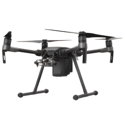
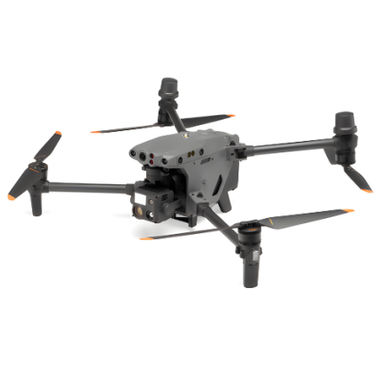
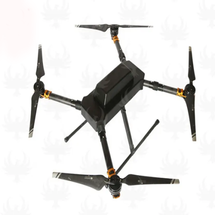
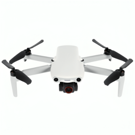
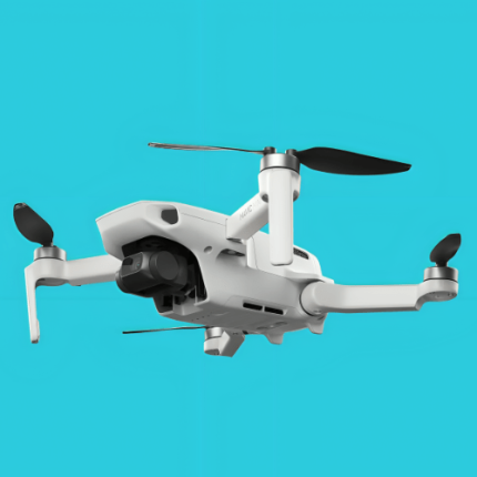
GAO’s Thermal Imaging Drone is a specialized UAV equipped with a thermal camera, designed to capture and transmit infrared radiation data. This technology enables the detection of heat signatures, which is invaluable in various industrial, environmental, and security applications. By converting thermal energy into visible images, these drones facilitate tasks such as identifying electrical faults, monitoring wildlife, detecting building insulation issues, and enhancing search and rescue operations. The integration of advanced sensors and imaging software allows for precise temperature measurement and detailed analysis. Technical professionals rely on thermal imaging drones for their ability to access hard-to-reach areas, provide real-time data, and improve efficiency and safety in field operations.
The Thermal Imaging Drone may also be called: Infrared drone, thermal camera drone, thermal UAV (unmanned aerial vehicle), heat-sensing drone, IR drone, thermal sensor drone, thermal surveillance drone, thermographic drone, thermal inspection drone, and FLIR drone (forward-looking infrared).

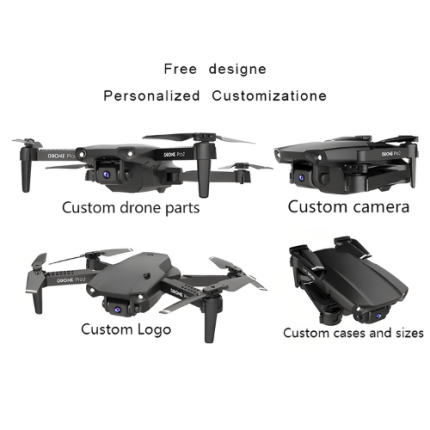
GAOTek Aerial Photography Drone
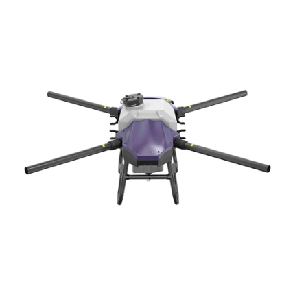
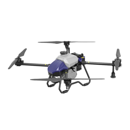
GAOTek Agricultural Aerial Remote Thermal Imaging Drone

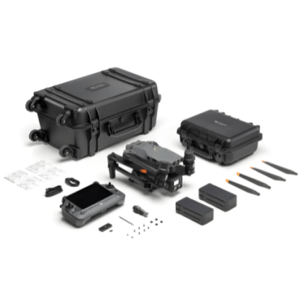
GAOTek Basic Combo Thermal Camera Drone

GAOTek Brushless Thermal Imaging Drone

GAOTek Digital Ultra-Sensitive Thermal Imaging Drone
GAOTek Electricity Oil Gas Industry Inspection Thermal Imaging Drone

GAOTek Heavy Lift Thermal Imaging Drone

GAOTek High Resolution Thermal Imaging Data Drone

GAOTek Industrial Inspection Thermal Drone
GAOTek Long Endurance Thermal Imaging Drones

GAOTek Long Range Camera Drone
GAOTek Long Range Thermal Imaging Drone
GAOTek Manual Control Thermal imaging professional camera drone

GAOTek Matrice Manual And Automatic Thermal Imaging Drone


GAOTek Mini Long Distance Visual Aircraft Drone

GAOTek Multi Inspection Thermal Imaging Professional Drone
GAOTek Open Function Thermal Imaging Camera Drone
GAOTek Outdoor Adventure Thermal Imagers Drone
GAOTek Professional Long Distance Foldable Imaging Drone
GAOTek Scientific Industrial Research Thermal Imaging Drone
GAOTek Smart Control Thermal Imaging Drone


GAOTek Starlight Long Range Thermal Camera Drone

GAOTek Thermal Imaging Camera Aerial Photography Drone
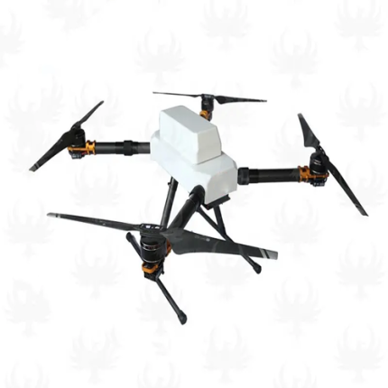
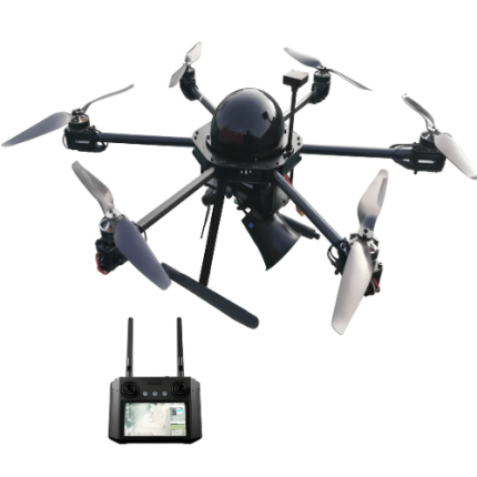
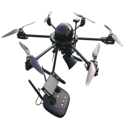
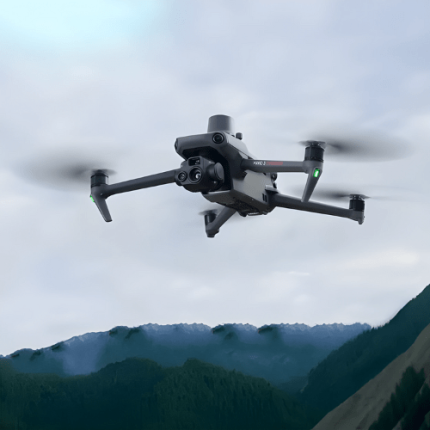
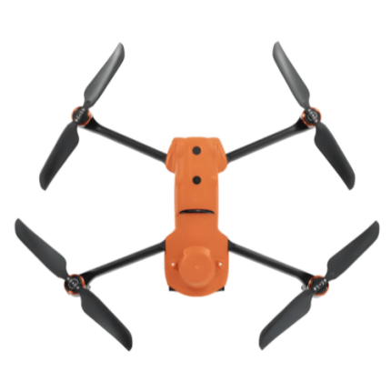
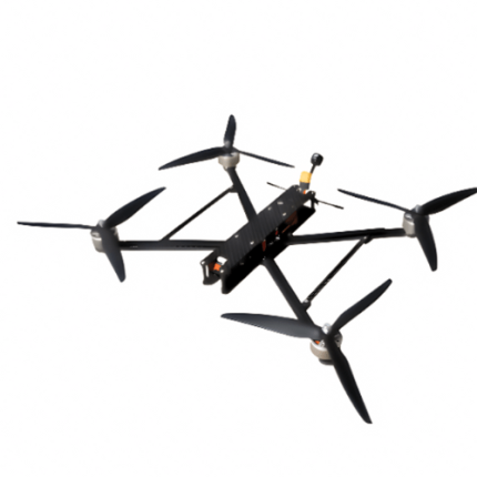
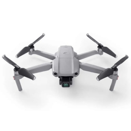
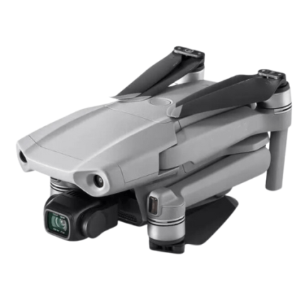
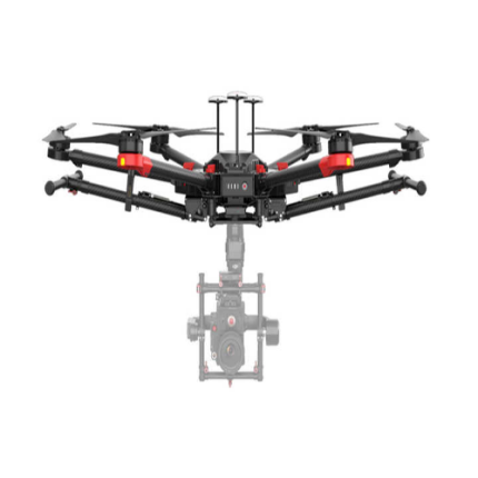
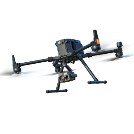
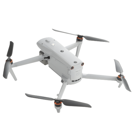
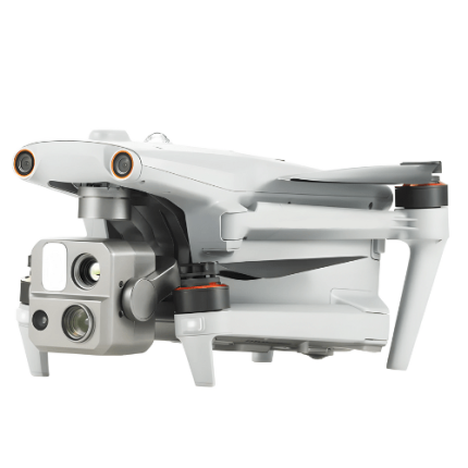
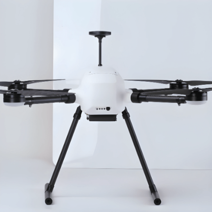
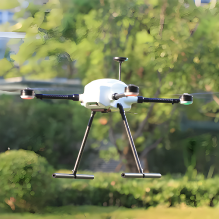
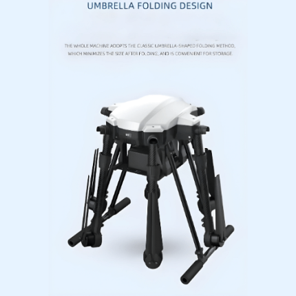
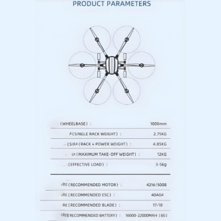
GAOTek Thermal Imaging Drone
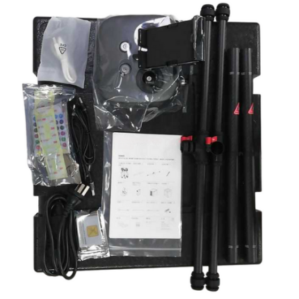
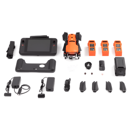
GAO’s Thermal Imaging Drone is composed of the following components:
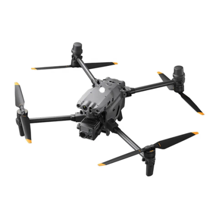
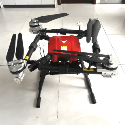
- Drone Frame and Chassis
- Flight Controller
- Motors and Propellers
- Battery and Power Management System
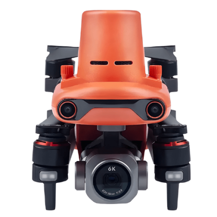
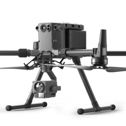
- Thermal Imaging Camera
- Gimbal Stabilization System
- Data Transmission System
- Ground Control Station (GCS)
- GPS and Navigation Sensors
- Payload and Accessories
- Software and Analytics Tools
GAO Tek’s Thermal Imaging Drone has the following functions:
- Search and Rescue Operations: GAO’s thermal imaging drones play a critical role in search and rescue (SAR) missions by detecting the body heat of missing persons or survivors in challenging environments such as dense forests, mountainous terrain, or disaster-stricken areas. The ability to quickly locate individuals based on their heart signatures significantly improves response times and the chances of successful rescues.
- Firefighting and Hotspot Detection: Our firefighters use thermal imaging drones to assess and monitor fires from the air. These drones can detect hotspots, monitor fire spread, and identify areas at risk of resignation. By providing a comprehensive thermal overview, firefighters can allocate resources more effectively and devise strategic plans to combat fires while minimizing risks to personnel.
- Infrastructure Inspection: Thermal imaging drones are invaluable for inspecting infrastructure such as power lines, solar panels, wind turbines, and pipelines. They can detect issues such as overheating components, insulation failures, and electrical faults that are not visible to the naked eye. Regular thermal inspections help in early fault detection, preventive maintenance, and reducing downtime.
- Building and Facility Inspections: In the construction and real estate industries, thermal imaging drones are used to inspect buildings for energy efficiency, structural integrity, and water intrusion. They can identify thermal leaks, insulation deficiencies, and moisture problems, providing essential data for maintenance, repairs, and improving energy efficiency.
- Agriculture and Crop Monitoring: Our thermal imaging drones are used in precision agriculture to monitor crop health and irrigation efficiency. They can detect temperature variations in the field, indicating areas of stress, disease, or inadequate irrigation. This information helps farmers optimize water usage, apply targeted treatments, and improve overall crop yields.
- Environmental Monitoring and Wildlife Conservation: Thermal imaging drones assist in environmental monitoring and wildlife conservation by tracking animal movements, identifying heat sources, and monitoring habitat conditions. They can be used for counting wildlife populations, detecting poachers, and studying animal behavior without disturbing natural habitats.
- Industrial and Manufacturing Applications: In industrial settings, thermal imaging drones are employed to monitor equipment and processes for abnormal heat patterns, which can indicate potential malfunctions or inefficiencies. They are used in industries such as manufacturing, petrochemicals, and oil and gas to ensure operational safety and efficiency by detecting overheating machinery, leaks, or thermal anomalies.
- Law Enforcement and Security: Our law enforcement agencies use thermal imaging drones for surveillance, search operations, and crowd monitoring. These drones can detect hidden suspects, monitor large events, and provide situational awareness during operations. Thermal imaging enhances security by enabling the detection of unauthorized activities and movements in low-visibility conditions.
- Disaster Response and Assessment: In the aftermath of natural disasters like earthquakes, floods, or hurricanes, thermal imaging drones aid in assessing damage, locating survivors, and identifying hazardous conditions. They provide real-time thermal imagery to emergency responders, helping prioritize rescue efforts and resource allocation.
- Energy Audits and Leak Detection: Thermal imaging drones are utilized in energy audits to detect heat loss in buildings and identify inefficiencies in HVAC systems. They can also detect gas leaks in pipelines and industrial facilities by visualizing temperature differences caused by escaping gases, enhancing safety and reducing environmental impact.
- Research and Development: Our researchers use thermal imaging drones for various scientific studies, including environmental research, climate change monitoring, and urban heat island analysis. They provide accurate thermal data for studying temperature patterns, ecological changes, and the effects of human activities on the environment.
GAO Tek’s Thermal Imaging Drone comply with applicable industry standards such as:
- FAA Regulations (U.S.)
- EU Drone Regulation (EU) 2019/947
- ISO 18434-1
- ISO 6781-3
- IEC 62133
- IEC 60950
- IEC 60529 (IP Code)
- MIL-STD-810
- GDPR
- NIST SP 800-53
- ISO 9001
- AS9100
- ANSI/ASSP Z15.1
- OSHA Standards
- IEC 61000
- IEEE 802.15.4
- NFPA 2400
Our Thermal Imaging Drone helps our customers comply with relevant U.S. government regulations such as:
- FAA Part 107 Regulations
- Registration Requirements
- Airspace Restrictions
- Remote Pilot Certification
- Equipment Requirements
- Privacy and Data Security Regulations
- Emergency Operations Guidelines
Our Thermal Imaging Drone helps our customers comply with relevant Canadian government regulations such as:
- Transport Canada's Canadian Aviation Regulations (CARs) Part IX
- Advanced Operations Certificate
- Pilot Certification Requirements
- Drone Registration
- No-fly Zones
Our Thermal Imaging Drone has the following applications:
- Infrastructure Inspections: GAO Tek thermal imaging drones are extensively used to inspect infrastructure such as power lines, solar panels, and pipelines. They can identify issues like overheating, leaks, or structural weaknesses, allowing for timely maintenance and reducing the risk of failures.
- Building and Construction: In the construction industry, thermal drones are utilized to detect insulation deficiencies, moisture intrusion, and HVAC system inefficiencies. They provide a comprehensive overview of a building’s thermal performance, helping to enhance energy efficiency and ensure quality control.
- Agriculture: Farmers use thermal imaging drones to monitor crop health, identify irrigation issues, and detect pest infestations. These drones provide detailed heat maps of fields, enabling precision agriculture practices that can improve yield and reduce resource use.
- Search and Rescue Operations: Our thermal drones play a crucial role in search and rescue missions. Their ability to detect body heat makes them invaluable in locating missing persons or disaster victims, especially in challenging environments like dense forests or during nighttime operations.
- Wildlife Monitoring and Conservation: Conservationists use thermal imaging drones to monitor wildlife populations and track animal movements. This technology helps in studying animal behavior, identifying poaching activities, and assessing the health of wildlife without intrusive methods.
- Firefighting: In firefighting, thermal drones provide a bird’s-eye view of fire scenes, identifying hotspots and helping to strategize the most effective firefighting approach. They are particularly useful in large-scale wildfires where ground access is limited.
- Security and Surveillance: Thermal drones enhance security operations by detecting intruders or unauthorized activities in low light or obscured conditions. They are used in border security, facility monitoring, and large event surveillance to ensure safety and security.
- Environmental Monitoring: Environmental scientists use thermal drones to monitor volcanic activity, track oil spills, and assess the impact of environmental disasters. The ability to capture temperature variations over large areas makes them valuable for ecological studies.
- Energy Audits: Energy companies deploy thermal drones to perform energy audits of facilities. They can detect heat loss in buildings, identify inefficient components in power plants, and monitor the performance of renewable energy installations like wind turbines and solar farms.
- Law Enforcement: Our law enforcement agencies use thermal imaging drones for tactical operations, crowd monitoring, and crime scene investigations. They provide a strategic advantage by offering real-time thermal imagery in complex scenarios.
Below are our resource pages containing useful information on Thermal imaging drones:
FAQs on Thermal Imaging Drones on GAOTek.com
How to Choose a Thermal Imaging Drones
Components of a Thermal Imaging Drones
Operation, Maintenance & Calibration of Thermal Imaging Drones
Customers in the U.S and Canada of Thermal Imaging Drones
Applications of Thermal Imaging Drones in Security
Our Thermal Imaging Drones are in stock, can be shipped overnight within the continental U.S. and Canada from a nearby warehouse in the U.S. or Canada, and can be shipped globally.
We provide 24/7 support. If you have any questions, our technical experts can help you. Please fill out this form or email us.