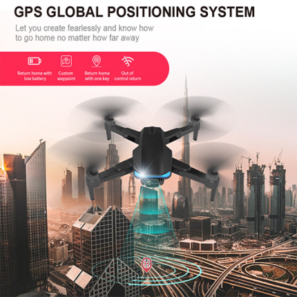
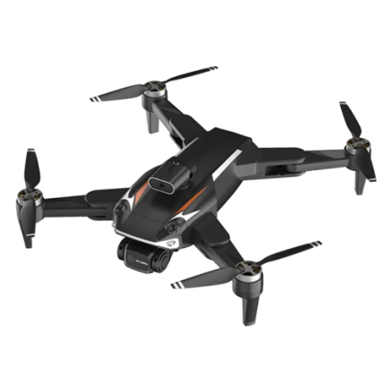
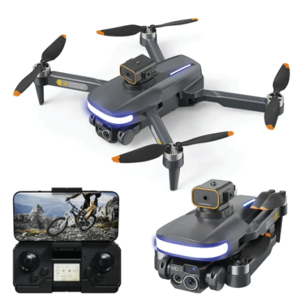
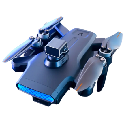
GAO’s GPS Drone integrates Global Positioning System (GPS) technology to enhance its navigational capabilities. This advanced feature enables precise positioning, navigation, and waypoint tracking, crucial for both autonomous and remote-controlled operations. By leveraging GPS data, these drones can maintain stable flight paths, follow predefined routes, and accurately return to their takeoff points. GPS also facilitates geofencing, ensuring drones operate within designated areas, enhancing safety and compliance. Moreover, GPS-enabled drones are vital for applications requiring pinpoint accuracy, such as aerial mapping, surveying, and surveillance. This technology empowers drones with robust navigational capabilities, making them indispensable tools across various industries including agriculture, infrastructure inspection, and emergency response.
The GPS Drone may also be called: GPS-enabled drone, GPS-equipped drone, Satellite-guided drone and Navigation-assisted drone.
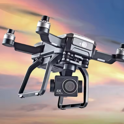
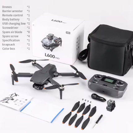
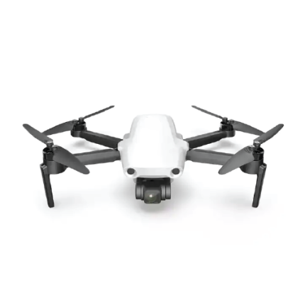
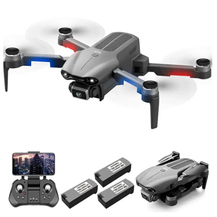
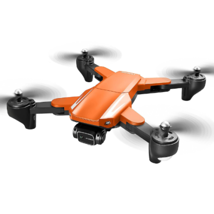
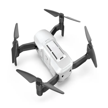
4K Drone GPS HD 5G Wi-Fi Brushless drone – GAOTek
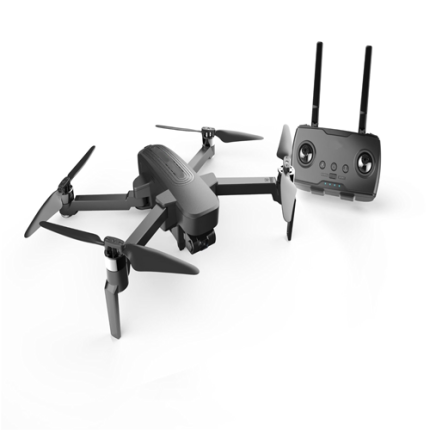
Drone Obstacle Avoidance Gimbal Stabilization, Wi-Fi GPS Drone – GAOTek
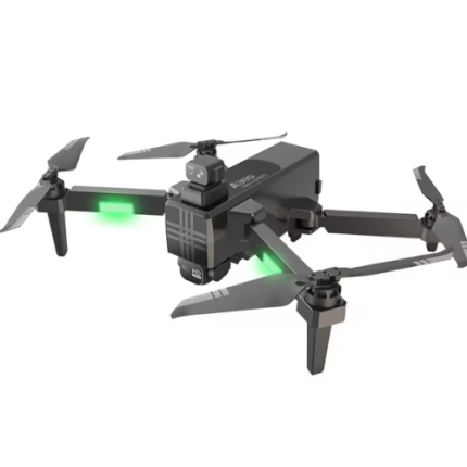
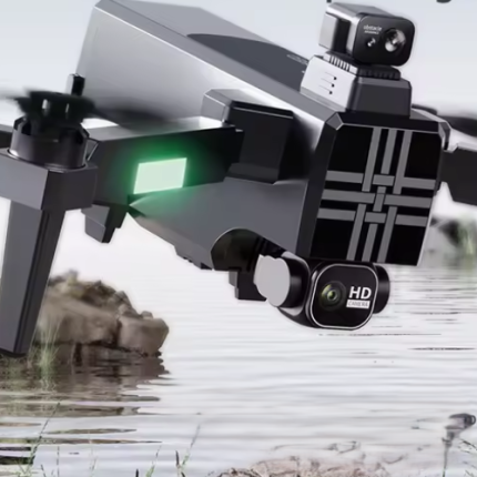
Drone with 4 K Camera, GPS Navigation, and Long Battery Life – GAOTek
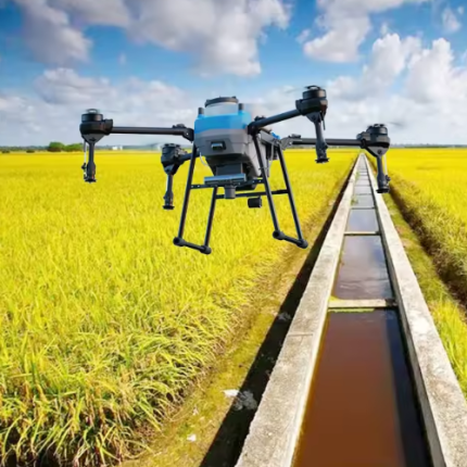
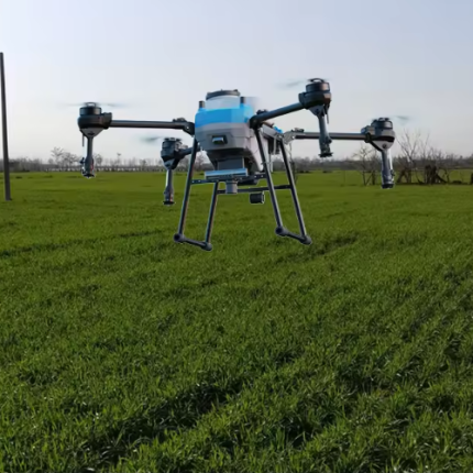
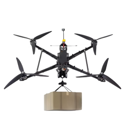
Drone with Sprayer Function for Surveillance Operations – GAOTek

Foldable Drone with GPS, Brushless Motors, 3D Flip and APP – GAOTek
FPV Semi-Autonomous Drone with GPS positioning Function – GAOTek
GAOTek 3-Axis Gimbal GPS Drone

GAOTek 3-Axis Gimbal GPS DRONE
GAOTek 5G GPS Drone
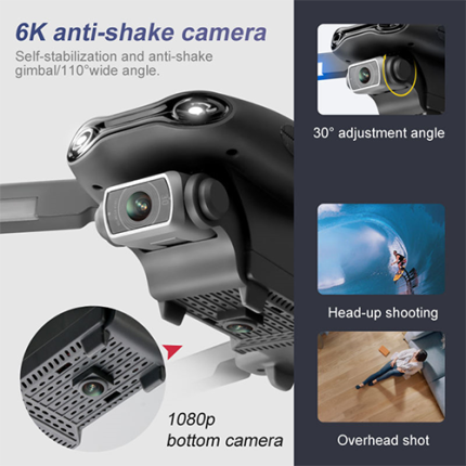
GAOTek 6K Dual HD Camera GPS Drone
GAOTek AE6 Max GPS Professional Drone
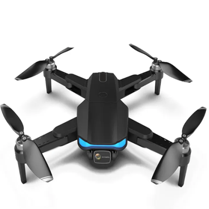
GAOTek Aerial Photography Obstacle Avoidance Quadcopter Drone

GAOTek Air Sense ADS-B Receiver Drone


GAOTek Automatic Return Hover RC Drones
GAOTek Avoidance Resistance Optical Flow GPS Drone
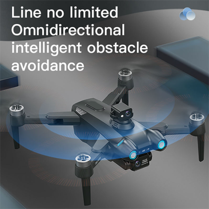
GAOTek Brushless GPS 360 Degree Obstacle Avoidance Drone
GAOTek Brushless GPS Aerial Photography Drone
GAOTek Brushless GPS Drone Quadcopter
GAOTek Brushless GPS Professional Long-Distance Drones
GAOTek Brushless Motor GPS Automatic Return Control Outdoor Drone
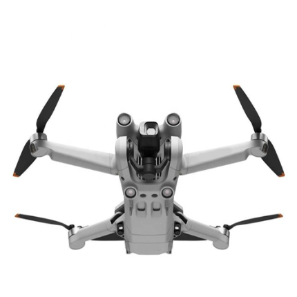
GAOTek Camera Drone with GPS
GAOTek Camera Foldable Frame RC GPS Drone

GAOTek Coreless Gimbal Quadcopter Camera Drone
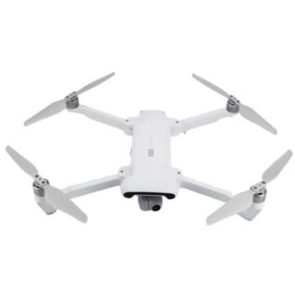
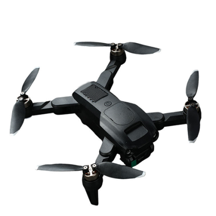
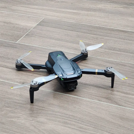
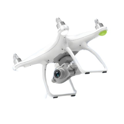
GAOTek Drone
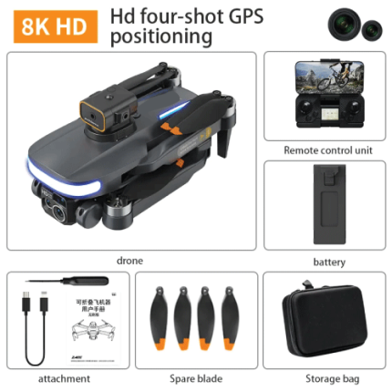
GAO’s GPS Drone is composed of the following components:
- GPS Receiver
- Flight Controller
- Compass
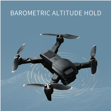
- Barometer
- Gyroscopes and Accelerometers
- Telemetry System
- Antennas
- Battery
- Software and Firmware
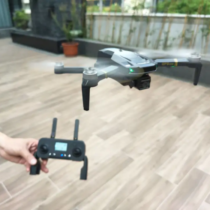
GAO Tek’s GPS Drone has the following functions:
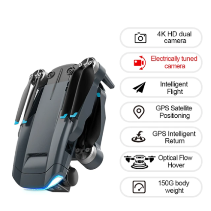
- Navigation and Positioning: The primary function of GPS drones is accurate navigation and positioning. GPS receivers on board continuously receive signals from satellites to determine their exact location, allowing drones to maintain stable flight paths and hover precisely over designated areas.
- Waypoint Navigation: Our GPS-enabled drones can follow predefined flight paths defined by waypoints. This capability is essential for tasks such as aerial surveys, mapping, and inspection missions where specific routes need to be followed consistently.
- Return-to-Home (RTH): This safety feature automatically directs the drone back to its take-off point if it loses connection with the remote controller or if the battery is running low. GPS coordinates ensure that the drone returns safely even if the operator is unable to manually control it.
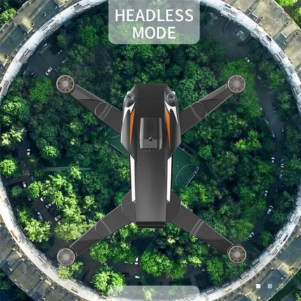
- Geofencing: These drones equipped with GPS can utilize geofencing technology to create virtual boundaries around restricted or no-fly zones. This helps comply with aviation regulations and prevents unauthorized entry into sensitive areas.
- Automated Flight Modes: Our advanced GPS drones offer various automated flight modes such as Follow Me, Point of Interest (POI), and Waypoint Navigation. These modes enable autonomous flight operations, where the drone can track and film a moving subject (Follow Me), circle around a specific location (POI), or perform complex flight paths as defined by waypoints.
- Mapping and Surveying: For professionals in surveying, agriculture, construction, and environmental monitoring, GPS drones are indispensable tools for creating detailed maps, 3D models, and accurate surveys. GPS coordinates embedded in captured data ensure precise geo-referencing and mapping accuracy.
- Real-time Data Transmission: Some GPS drones can transmit real-time data streams, including video footage and sensor data, back to the operator or a central command center. This feature is crucial for live monitoring and decision-making during missions.
- Improved Stability and Control: Our GPS integration enhances overall flight stability and control, particularly in challenging environmental conditions. Drones can maintain steady flight even in gusty winds or turbulent conditions, thanks to precise positioning data from GPS satellites.
- Search and Rescue Operations: GAO’s GPS drones play a vital role in search and rescue missions by quickly locating individuals or objects in remote or hazardous environments. GPS coordinates enable accurate pinpointing of locations, facilitating swift response efforts.
- Enhanced Security: In commercial and industrial applications, GPS drones provide enhanced security through precise surveillance and monitoring capabilities. Integrated with other technologies like thermal imaging or AI-based analytics, they offer effective solutions for perimeter security, asset protection, and emergency response.
GAO Tek’s GPS Drone comply with applicable industry standards such as:
- Radio Frequency Standards (e.g., FCC, ETSI)
- Safety Standards
- Navigation and GPS Standards (e.g., RTCA DO-229)
- Manufacturing Standards (e.g., ISO 9001)
- Battery Standards (e.g., IEC 62133)
- Data Security and Privacy Standards (e.g., GDPR)
- Operational Standards
Our GPS Drone helps our customers comply with relevant U.S. government regulations such as:
- Federal Aviation Administration (FAA) regulations (e.g., Part 107)
- Transportation Security Administration (TSA) regulations
- National Telecommunications and Information Administration (NTIA) guidelines
- Federal Communications Commission (FCC) regulations
- Department of Commerce export controls
Our GPS Drone helps our customers comply with relevant Canadian government regulations such as:
- Registration
- Pilot certification (basic or advanced)
- Visual line-of-sight (VLOS) operation
- No-fly zones
- Altitude and distance limits
- Safety and privacy considerations
- Permissions for commercial use
Our GPS Drone has the following applications:
- Aerial Photography and Filmmaking: Our GPS drones are extensively used in the film and media industry for capturing high-definition aerial shots. Their ability to maintain stable flight paths and precise positioning allows filmmakers to achieve cinematic aerial footage.
- Surveying and Mapping: In sectors such as construction, urban planning, and agriculture, GPS drones are employed for detailed mapping and surveying. They can create accurate 3D maps, monitor construction progress, and assess land topography without the need for ground-based surveying.
- Precision Agriculture: Drones equipped with GPS are revolutionizing agriculture by enabling farmers to monitor crop health, assess soil conditions, and apply fertilizers or pesticides precisely. This data-driven approach optimizes farming practices and increases yields.
- Search and Rescue Operations: In emergency situations, GPS drones play a critical role in locating missing persons or stranded individuals. Their ability to cover large areas quickly and transmit real-time data enhances the efficiency of search and rescue missions.
- Infrastructure Inspection: Our drones equipped with GPS are used to inspect infrastructure such as bridges, pipelines, and power lines. They can access hard-to-reach areas safely and efficiently, providing visual inspections and detecting potential issues early on.
- Environmental Monitoring: Our scientists use GPS drones for environmental research and monitoring. They can collect data on wildlife, vegetation, and natural habitats, aiding conservation efforts and ecological studies.
- Delivery Services: Companies like Amazon are exploring drone delivery services using GPS technology. Drones can autonomously navigate to specified destinations, delivering packages in a timely and efficient manner.
- Disaster Response: During natural disasters such as earthquakes or floods, GPS drones assist in assessing damage, identifying survivors, and coordinating relief efforts. Their rapid deployment capabilities are crucial in disaster response scenarios.
- Security and Surveillance: GAO Tek GPS drones are utilized for perimeter security and surveillance of large areas. They can patrol predefined routes autonomously, monitor activities, and provide real-time video feeds to security personnel.
- Education and Research: Our educational institutions and research facilities, GPS drones are used to teach students about aerospace engineering, remote sensing, and data analytics. They serve as practical tools for conducting experiments and collecting scientific data.
Below are our resource pages containing useful information on GPS Drones:
FAQs on GPS Drones on GAOTek.com
Operation, Maintenance & Calibration of GPS Drones
Customers in the U.S. and Canada of GPS Drones
Applications of GPS Drones in Agriculture
Our GPS Drones are in stock, can be shipped overnight within the continental U.S. and Canada from a nearby warehouse in the U.S. or Canada, and can be shipped globally.
We provide 24/7 support. If you have any questions, our technical experts can help you. Please fill out this form or email us.