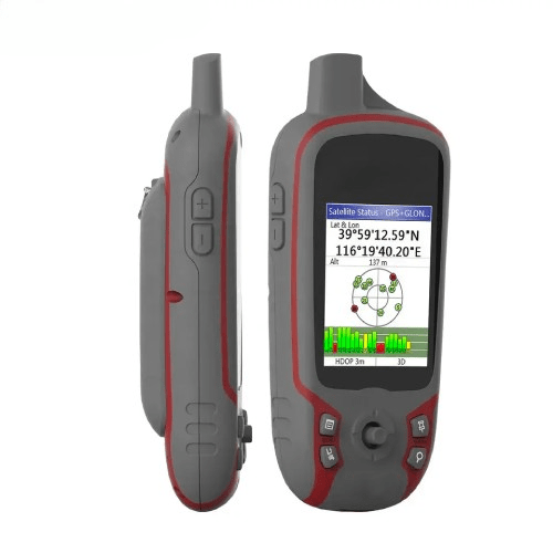
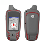
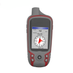
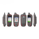
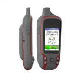
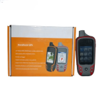
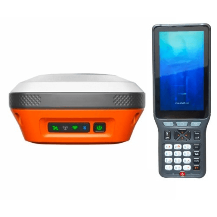
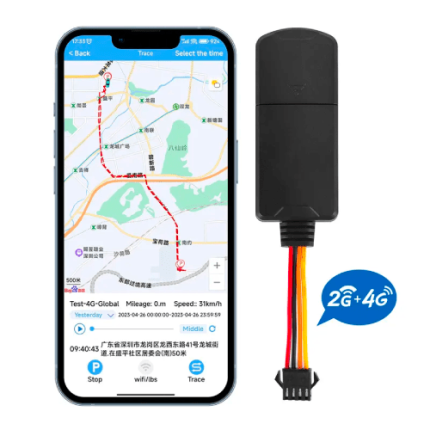
| Display resolution |
240 × 320 pixels, QVGA |
| Display type |
Translative TFT, 65K colors |
| Battery |
2 × AA Lithium Battery |
| Battery life |
2 x AA (up to 15 h), Li-ion (up to 25 h) |
| Waterproof |
IP 7 |
| High-sensitivity receiver |
Yes (56 parallel channels) |
| Interface |
USB and NMEA 0183 compatible |
| Basemap |
Preload Worldwide base map |
| Ability to add maps |
Yes |
| Built-in memory |
RAM: 128MB, Flash Storage: 4GB |
| Accepts data cards |
Yes (microSD™ card 32G) |
| Waypoints/favorites/locations |
3000 |
| Routes |
200 |
| Tracklog |
100 saved tracks, 10,000 points |
| NAVA GPS Office (NGO) |
Let’s you manage and export & import your waypoints, tracks, and routes in multiple GPS data formats, including GPX, SHP, MIF, CSV,KML, DXF, and TXT on your PC. |
| Unit dimensions |
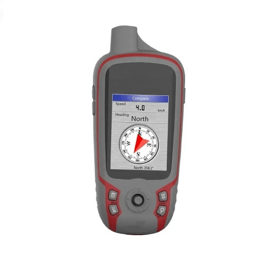
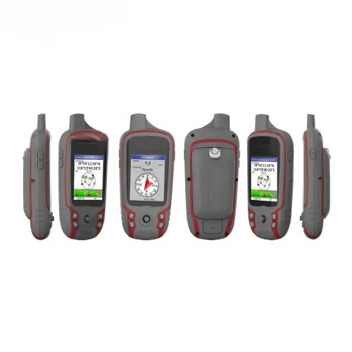
2.24 in x 5.08 in x 1.10 in (57 mm x129 mm x 28 mm) |
| Display size |
2.2 in (55.88 mm) |
| Weight |
0.25 lb. (113 g) (without battery) |


