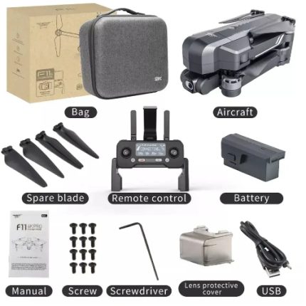
Description
Overview
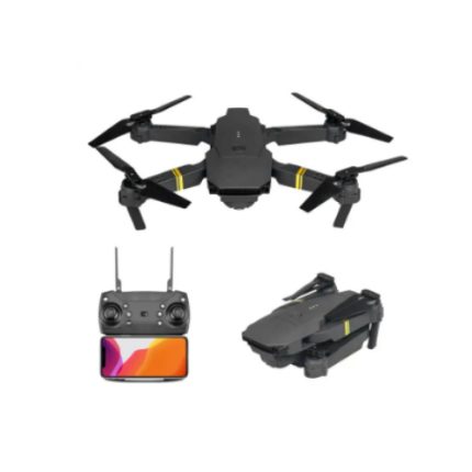
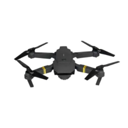
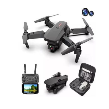
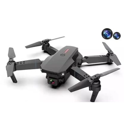
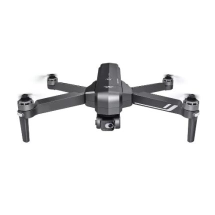
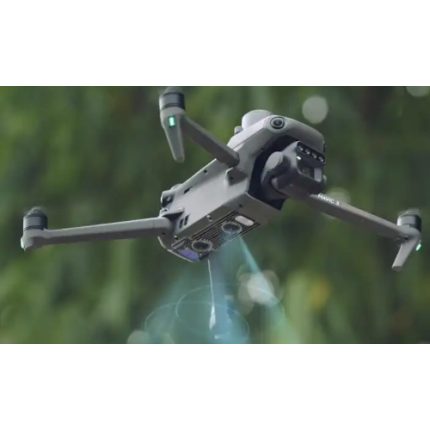
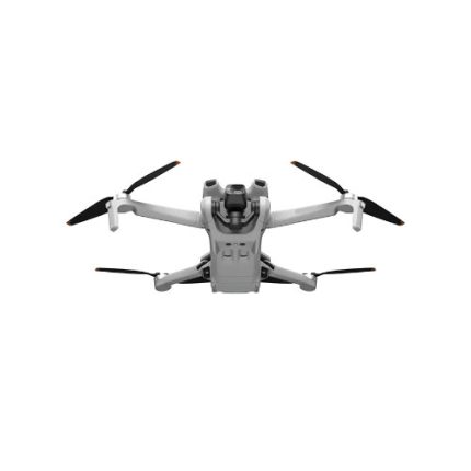
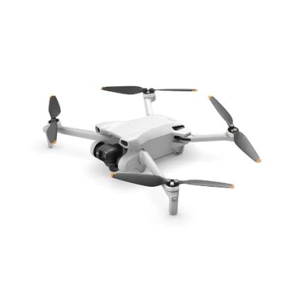
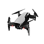
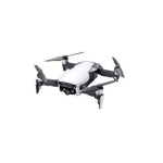
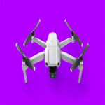
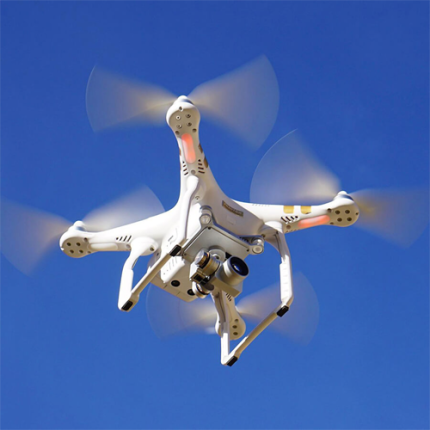
This foldable drone offers 4K Camera, 2.7K Quad HD Video, 3-axis Motorized Gimbal, up to 30 minutes flight time for maximum aerial abilities.
Technical Specifications
| Flight time | 30 min |
| Charging time | 3 hr |
| Image transmission distance | 2.5 mi (4 km) |
| Single gross weight | 5.51 Ib (2.5 kg) |