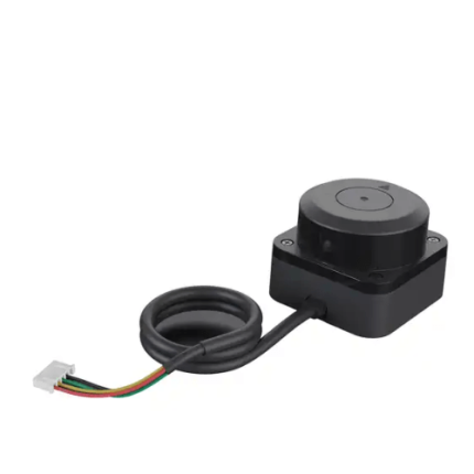
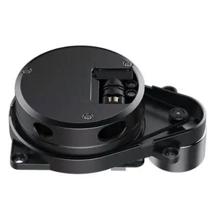
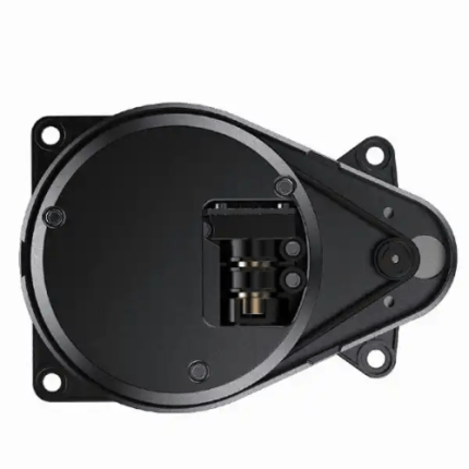
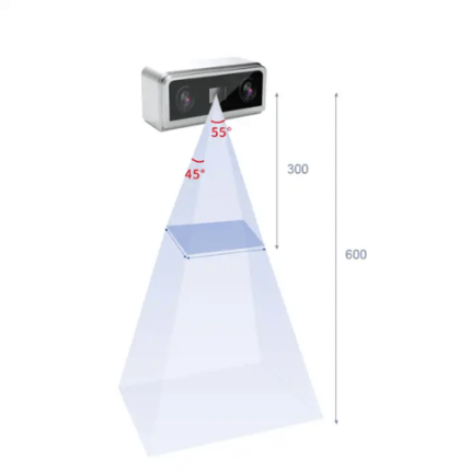
GAO’s Lidar, short for Light Detection and Ranging, is a remote sensing technology that uses laser pulses to measure distances between the sensor and the Earth’s surface. By emitting rapid laser pulses and recording the time it takes for each pulse to return, Lidar systems generate precise, three-dimensional data about the target area. This technology is employed in various fields, including topographic mapping, forestry, and autonomous vehicles. In topographic surveys, Lidar creates detailed elevation models, aiding in terrain analysis and flood risk assessment. For autonomous vehicles, it provides real-time environmental mapping, enhancing navigation and obstacle detection. Lidar’s ability to produce high-resolution, accurate spatial data makes it indispensable for advanced geospatial and engineering applications.
The Lidar may also be called: Laser Scanning, Laser Radar, Optical Radar, Laser Ranging, and Light Radar.
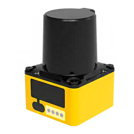
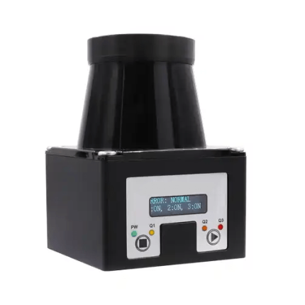
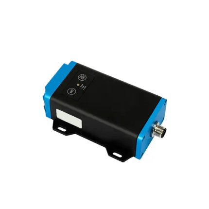
12m LiDAR Sensor with 1-1000Hz Frame Rate & UART Interface – GAOTek
25m LiDAR Sensor with 1°-2° FOV & UART/IIC Interface – GAOTek
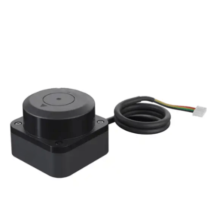
270° LiDAR Sensor, 12V DC, 0.3 in Resolution, 30kHz Sampling Rate – GAOTek
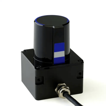
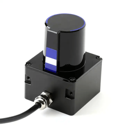
270° Scanning Lidar Sensor, 20 Hz Rate, ±0.02m Accuracy, 0.25° Angle – GAOTek
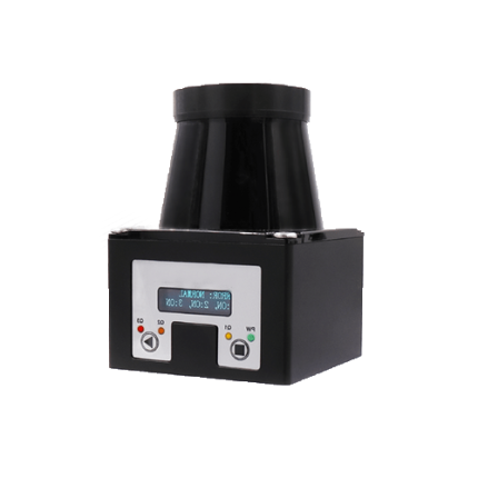
320° LiDAR with 30m Range, Configurable Delay & 64 Channels – GAOTek

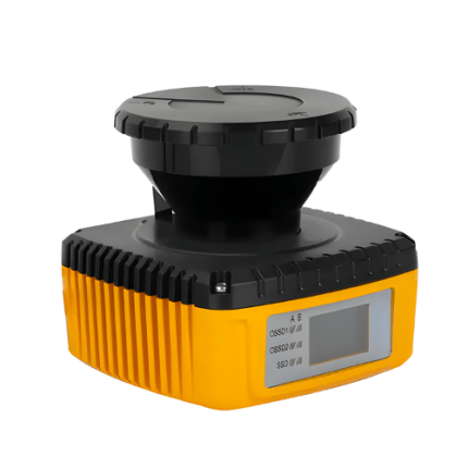
360° Lidar Sensor, 10 Hz Scan, 82ft Range, ±3cm Accuracy, 95nm Wave – GAOTek
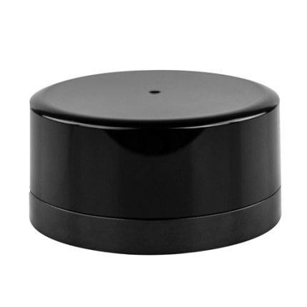
360º Optical Sensor, 7-15 Hz Scanning, 0.1-40m Range, 905nm Wavelength – GAOTek
660nm LiDAR Sensor with 3m Range & IP68 Protection – GAOTek
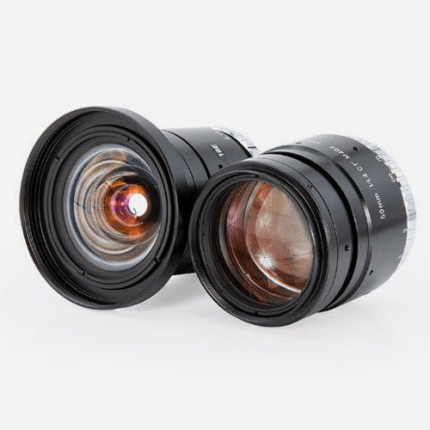
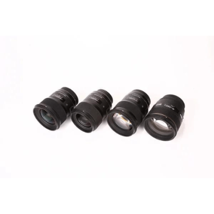
8mm Manual Lens with C-Mount, F1.8-F22 for 1/2.5” Sensor, Manual Iris – GAOTek
905nm Pulse ToF LiDAR with 270° FOV & 12V DC Power Supply – GAOTek
Compact 12m LiDAR Sensor with TTL UART and IP54 Protection – GAOTek
Compact 780nm LiDAR Sensor, 0.4ft to 26.2ft Range, UART Interface – GAOTek
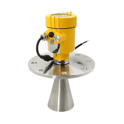
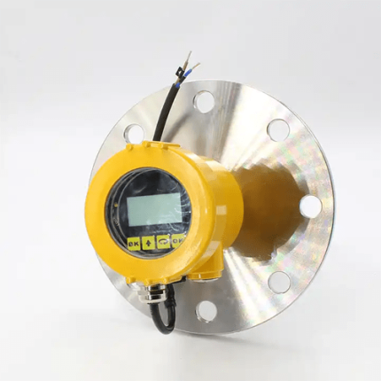
Digital 35m Radar Level Sensor, IP68, ExiallCT6, 10.2GHz, 4-20mA Output – GAOTek
GAOTek Laser LiDAR Distance Sensor
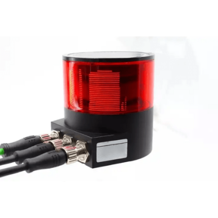
GAOTek Laser Lidar Motion Sensor
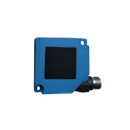
GAOTek Laser LiDAR Sensor
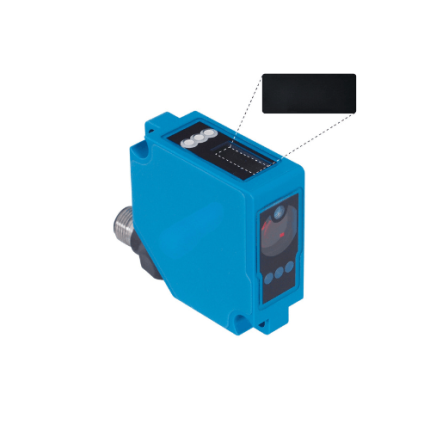
GAOTek Laser LIDAR Sensor
GAOTek Laser Lidar Sensor
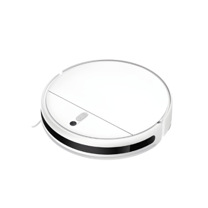
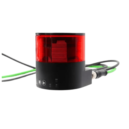
GAOTek Laser Ranging Sensor 360 Omni-Directional Lidar
GAOTek Lidar 270 Degree Sensor
GAOTek Lidar 3D Scanner Position Sensor
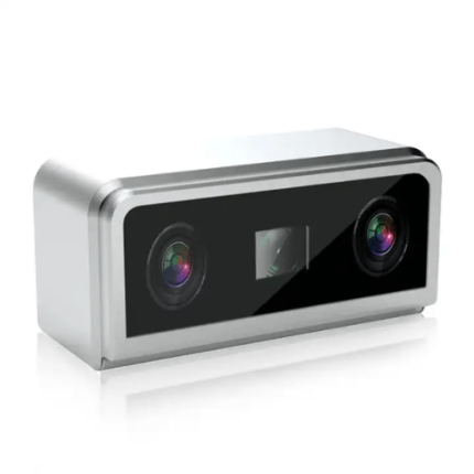
GAOTek LiDAR 3D Scanner Sensor
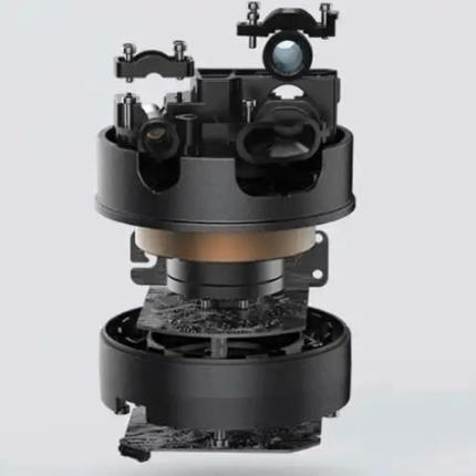
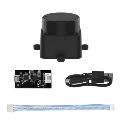
GAO’s Lidar is composed of following components:
- Laser Source
- Scanner
- Photodetector
- GPS Receiver
- IMU (Inertial Measurement Unit)
- Data Processing Unit
GAO Tek’s Lidar has the following functions:
- Distance Measurement: We use LiDAR to measure precise distances between the sensor and objects or surfaces by calculating the time it takes for laser pulses to return.
- Topographic Mapping: GAO’s LiDAR systems help us create detailed elevation models, which are essential for terrain analysis and flood risk assessment.
- 3D Modeling: LiDAR enables us to generate high-resolution 3D models of landscapes and structures, which are valuable for urban planning and construction.
- Vegetation Analysis: Our technology aids in assessing vegetation height and density, which is useful in forestry and environmental monitoring.
- Autonomous Navigation: GAO Tek’s LiDAR systems enhance autonomous vehicles' ability to detect obstacles and navigate complex environments.
- Change Detection: LiDAR allows us to track and analyze changes in the landscape over time, supporting applications such as disaster response and environmental management.
GAO Tek’s Lidar comply with applicable industry standards such as:
- ISO 17123
- ISO 19100 Series
- ASTM E2910
- OGC Standards
- IEEE Standards
Our Lidar help our customers comply with relevant U.S. government regulations such as:
- Federal Aviation Administration (FAA) Regulations: For airborne LiDAR systems, including rules for aircraft operations and safety.
- Federal Geographic Data Committee (FGDC) Standards: Guidelines for geospatial data quality and metadata.
- National Oceanic and Atmospheric Administration (NOAA) Standards: Standards for LiDAR data used in coastal and marine mapping.
- U.S. Geological Survey (USGS) Guidelines: Specifications for LiDAR data collection and processing, especially for federal mapping projects.
Our Lidar help our clients comply with relevant Canadian government regulations such as:
- Canadian Geospatial Data Infrastructure (CGDI) Standards: Guidelines for geospatial data management and quality.
- Canadian Aviation Regulations (CARs): For airborne LiDAR systems, covering aircraft operation and safety standards.
- Natural Resources Canada (NRCan) Guidelines: Specifications for LiDAR data collection, especially for national mapping and geospatial projects.
- Canadian Standards Association (CSA) Standards: Includes various standards relevant to the performance and safety of electronic devices, including LiDAR systems.
Our Lidar have the following applications:
- Topographic Mapping: We use LiDAR to create detailed elevation models and maps, which are essential for land surveying, urban planning, and infrastructure development.
- Forestry and Vegetation Analysis: GAO’s LiDAR systems assist in assessing forest canopy height, density, and biomass, aiding in forest management and environmental monitoring.
- Disaster Management: LiDAR helps us in flood modeling and landslide risk assessment by providing accurate terrain data, which is crucial for disaster response and mitigation.
- Archaeology: Our technology enables the discovery and mapping of ancient structures and landscapes hidden under vegetation or soil, enhancing archaeological research.
- Autonomous Vehicles: GAO Tek’s LiDAR systems play a key role in enabling real-time obstacle detection and navigation for autonomous vehicles, improving safety and efficiency.
- Construction and Engineering: LiDAR assists in site planning, monitoring construction progress, and verifying design specifications, ensuring precision in engineering projects.
- Environmental Monitoring: We use LiDAR to track changes in ecosystems, monitor coastal erosion, and manage natural resources, supporting sustainable environmental practices.
Below are our resource pages containing useful information on Lidar:
FAQs on Lidar on GAOTek.com
How to Choose a Lidar
Components of Lidar
Operation, Maintenance & Calibration of Lidar
Customers in the U.S and Canada of Lidar
Applications of Lidar in Educational Services
Our Lidar are in stock and can be shipped overnight within the continental U.S. and Canada from a nearby warehouse in the U.S. or Canada, and can also be shipped globally.
We provide 24/7 support. If you have any questions, our technical experts can help you. Please fill out this form or email us.