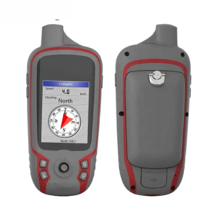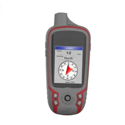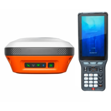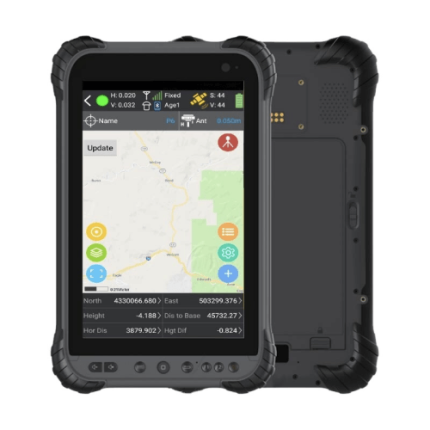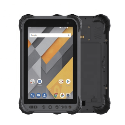
Description
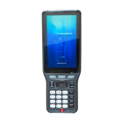
Features
- Auto-steering
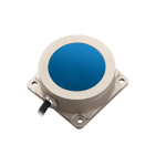
- Multi-constellation GNSS receiver
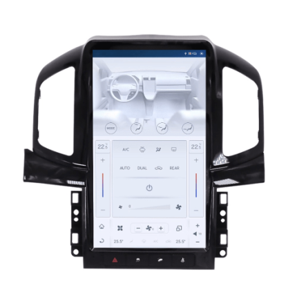
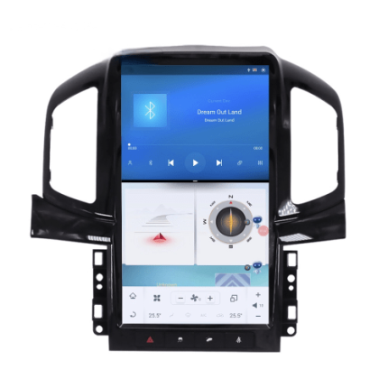
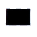
- High-resolution touchscreen display
- Section control
- Variable rate application
- Data logging and mapping
Technical Specifications
| Signal tracking | GPS: L 1, L 2
BDS-2: B 11, B 31 |
| Resolution | 1280 x 800 |
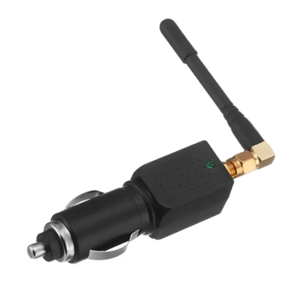
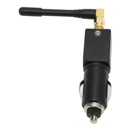
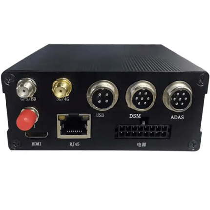
| Interface | Lemo port, 4G antenna port, USB, type-C |
| Memory | 2 GB RAM, 16 GB ROM (support TF card) |
| Network | 4G network, dual sim and dual stand-by |
| UHF modem | Built-in Rx UHF |
| Working speed | 0.2 km / h to 15 km / h |
| Work scene | Supports ultra-low speed, ultra-high speed, slope, curve, operations mode |
| Operating temperature | -22 °F to 158 °F (-30 °C to +70 °C) |
| Storage temperature | -40 °F to 185 °F(-40 °C to +85 °C) |
| Humidity | 95% non-condensing fully sealed unit |
| Input voltage | 12 V to 24 V |
| Waterproof and dustproof | IP 65 |