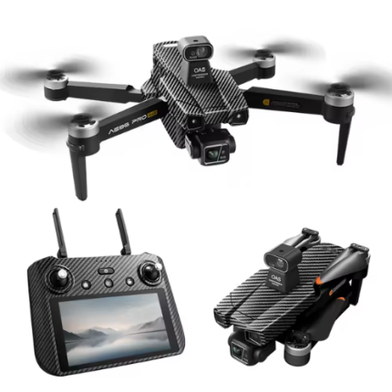
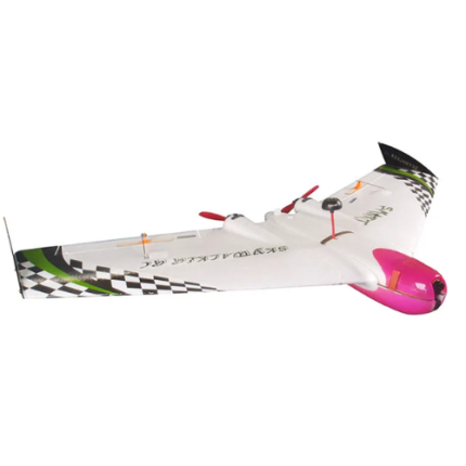
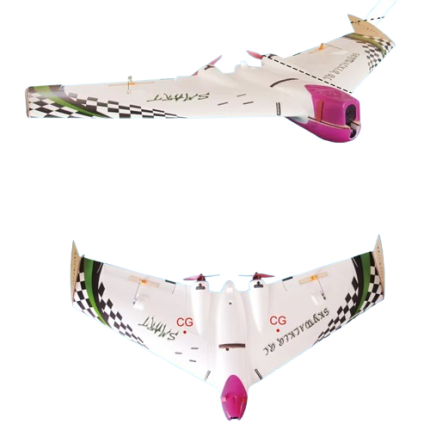
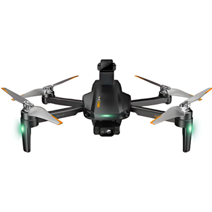
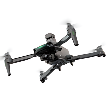
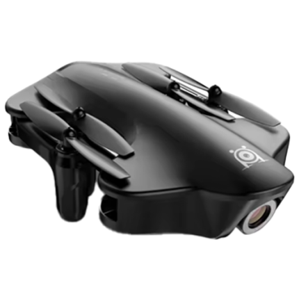
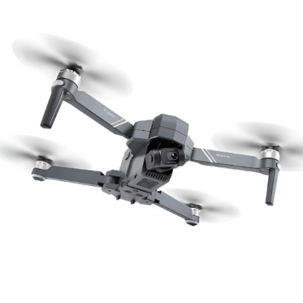
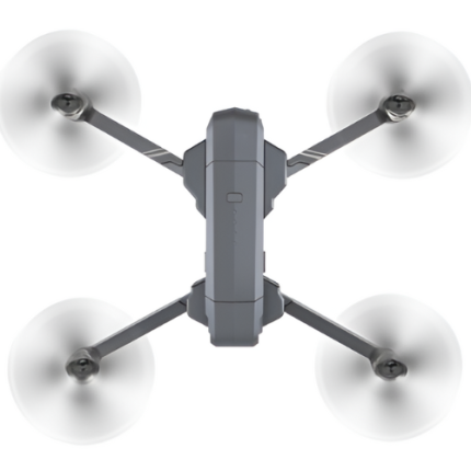
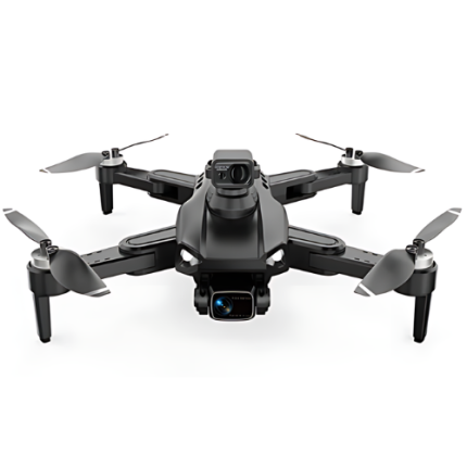
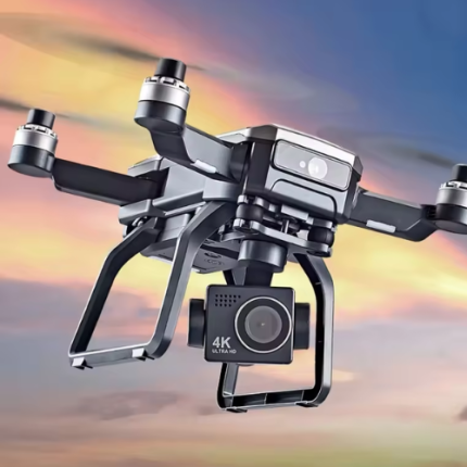
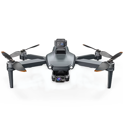
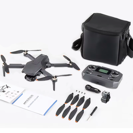
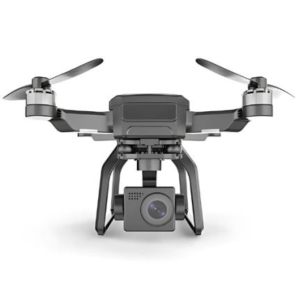
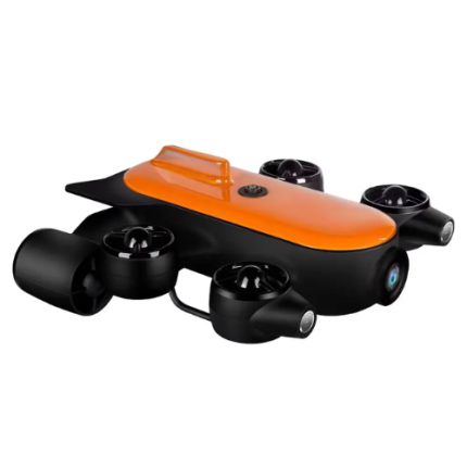
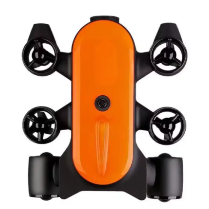
GAO Tek offers a comprehensive list of Drones. Such products are grouped into Power Source, Navigation and Control Method, Flight and Altitude Range, Environmental Suitability, Size and Weight, Payload, Motor & Wing and Rotor Type, and Specialized Functionality.
Through four decades of innovation and collaboration with other GAO Group member companies, GAO RFID Inc. GAO Research Inc. and our corporate partners, GAO Tek Inc. has become a leader in Drones serving corporations and institutions in the U.S., Canada, and globally.
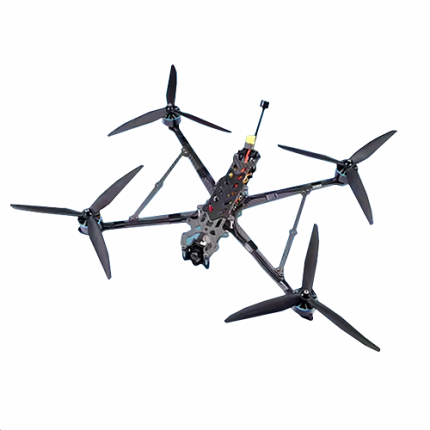
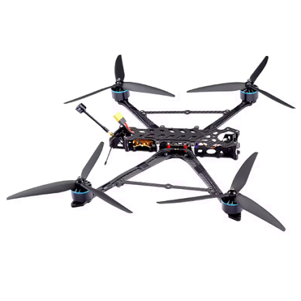
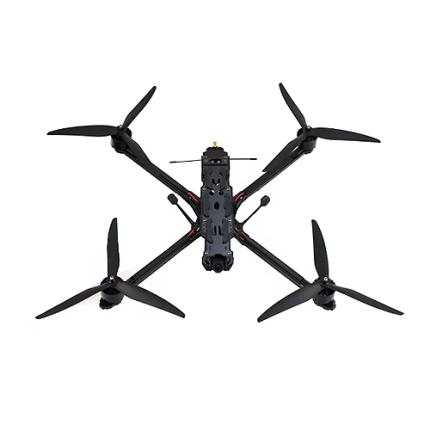
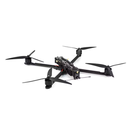
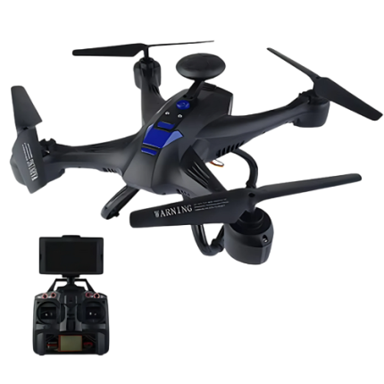
10 Inch Heavy Duty Payload FPV Drone with 1200TVL Camera – GAOTek
1080 P Full HD Digital Stellar Camera with GPS, Night Vision – GAOTek
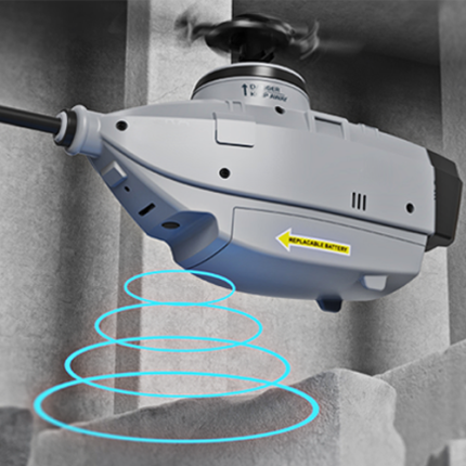
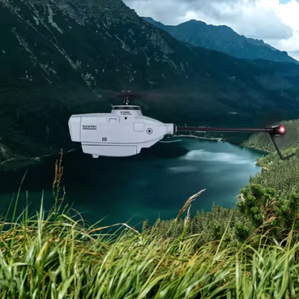
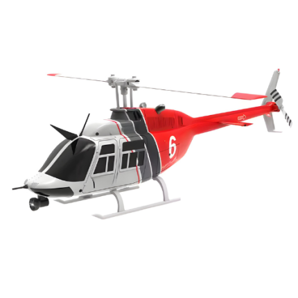
1080p FHD RC Helicopter with FPV and AI Recognition – GAOTek
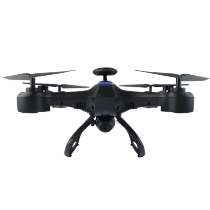
1080P HD FPV Quadcopter With GPS Brushless Motors & Return Home-GAOTek
2-Channel Gray RC Helicopter with Camera and Dual Motors – GAOTek
265mm FPV Drone with T700 Carbon Frame and 13-Inch Props – GAOTek
3-Axis Anti-Shake Drone with 4K Camera – GAOTek
39.21 in FPV Electric Plane with 30 Min Flight Time – GAOTek
4 K Camera Drone with Intelligent Lidar, GPS & Remote Control – GAOTek
4 K Drone With 120° Wide-Angle Camera, 4-Axis Gyro, Long Range – GAOTek
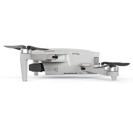
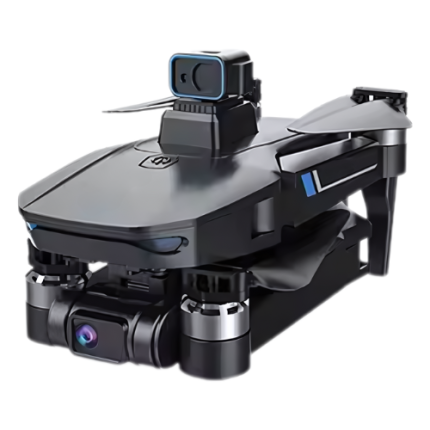
4 K HD Camera Drone With Foldable Design And Stable Flight – GAOTek
4 K UHD Camera Drone, 12 MP Photos, 4Hr Battery, 500 M Range -GAOTek
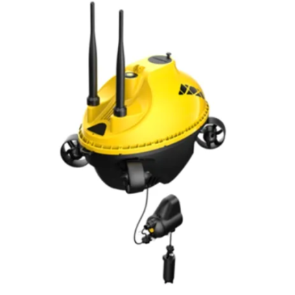
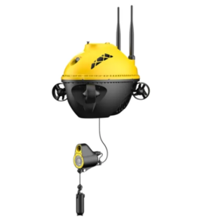
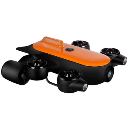
4 K UHD Underwater Drone ROV AUV Robot Camera With LED Lights- GAOTek
4 K Video Drone with 4 x Digital Zoom, & 3-Axis Gimbal – GAOTek
4-Channel RC Helicopter With 720P Camera & 6-Axis Gyroscope – GAOTek
4-Channel RC Helicopter, 328 Ft Range, Indoor And Outdoor – GAOTek
4CH Drone For Versatile Aerial Control And Smooth Flight – GAOTek
4K Black Foldable Indoor Drone with Remote & APP Control – GAOTek
4K Drone GPS HD 5G Wi-Fi Brushless drone – GAOTek
4K Drone with 1km Transmission & Obstacle Avoidance – GAOTek
4K Drone with 3 Axis Gimbal, 25 Min Flight, and GPS Follow – GAOTek
4K Drone with 3 Axis Gimbal, 26 Min Flight Time and APP Control – GAOTek
4K Drone with Brushless Motor, LED Lights & 8-Hour Dive – GAOTek
Power Source
GAO’s Power source drones, also known as energy drones or battery extender drones, are unmanned aerial vehicles (UAVs) equipped with mechanisms to deliver energy or provide an external power source to remote or hard-to-reach locations. These drones carry batteries, fuel cells, or other forms of energy supply and are designed to transfer power to other drones, ground-based equipment, or installations such as remote sensors and communication towers. This capability significantly enhances the operational time and effectiveness of devices and systems that would otherwise require frequent maintenance or replacement of power sources.
Applications of power source drones span across various industries. In the telecommunications sector, they can extend the range and uptime of relay stations or temporary communication networks. In environmental monitoring, these drones can recharge sensors placed in remote or hazardous areas, reducing the need for human intervention. Additionally, in emergency response and disaster relief operations, power source drones can provide critical energy to support rescue operations and sustain essential equipment in challenging environments.
These drones represent a significant advancement in the field of UAV technology, offering a versatile solution for powering critical systems in diverse and difficult terrains, ultimately improving the reliability and sustainability of operations across multiple sectors.
Below is the group of Power Source Products:
Battery Powered Drones, Solar Powered Drones, Gasoline Powered Drones, and Hydrogen Fuel Cell Drones.
Navigation and Control Method
GAO’s Navigation and control methods for drones encompass the systems and techniques that allow unmanned aerial vehicles (UAVs) to operate autonomously or semi-autonomously in various environments. These methods involve an integration of technologies including Global Positioning System (GPS), Inertial Navigation System (INS), and obstacle detection and avoidance systems. GPS provides geospatial positioning and timing, crucial for path planning and waypoint navigation. The INS offers real-time data on the drone’s orientation, velocity, and position relative to a reference point, enhancing stability and accuracy during flight. Additionally, sensors such as LiDAR, cameras, and ultrasonic sensors enable obstacle detection, facilitating safe navigation by adjusting the drone’s path to avoid collisions.
These navigation and control systems find diverse applications in sectors like agriculture, where drones are used for crop monitoring and pesticide application; in delivery services, where they are deployed for quick transport of goods; and in disaster management, where they assist in search and rescue operations. Alternative names for these UAVs include Unmanned Aerial Systems (UAS) and Remotely Piloted Aircraft Systems (RPAS), reflecting the technology’s evolving roles and capabilities in both civilian and military operations.
Below is the group of Navigation and Control Method Products:
GPS Drones, Hybrid Navigation Drones, Vision-Based Navigation Drones, Autonomous Drones, Semi-Autonomous Drones, Manual Control Drones, Cellular Controlled Drones, Wi-fi Controlled Drones, Radio Controlled Drones, and Gesture Controlled Drones.
Flight and Altitude Range
GAO’s Flight and altitude range (FAR) drones, alternatively known as high-altitude long-endurance (HALE) drones, are unmanned aerial vehicles (UAVs) designed to operate at high altitudes for extended periods. These drones typically reach altitudes between 20,000 and 65,000 feet and can stay airborne for days or even weeks, depending on the power source and design. FAR drones are equipped with advanced navigation systems and long-range communication capabilities, allowing them to cover vast areas.
Applications for FAR drones are diverse and significant. In the military domain, they serve in intelligence, surveillance, and reconnaissance (ISR) missions, providing real-time data and high-resolution imagery. In civilian contexts, these drones are used for environmental monitoring, including tracking weather patterns and assessing the impact of climate change. They also play crucial roles in disaster management, delivering critical information from hard-to-reach areas during emergencies.
GAO Tek FAR drones are increasingly used in telecommunications as temporary communication relays in remote regions. Their ability to maintain a stable presence at high altitudes makes them ideal for bridging connectivity gaps. As drone technology advances, the potential applications for FAR drones are expected to expand, highlighting their growing importance in various sectors.
Below is the group of Flight & Altitude Range Products:
Very Close Range Drones, Close Range Drones, Short-Range Drones, Mid-Range Drones, Long-Range Drones, Low-Altitude Drones, Medium Altitude Drones, and High Altitude Drones
Environmental Suitability
GAO’s Environmental suitability drones (ESDs), also known as Ecological Assessment Drones or Environmental Monitoring UAVs, are unmanned aerial vehicles equipped with sensors and cameras designed for environmental analysis and monitoring. These drones play a pivotal role in assessing the suitability of various environments for ecological, agricultural, or infrastructural projects. By providing high-resolution aerial imagery and real-time data, ESDs can evaluate land topography, vegetation health, soil quality, and water resources, ensuring comprehensive environmental impact assessments.
Their applications are diverse, ranging from precision agriculture, where they monitor crop health and soil conditions, to conservation efforts, where they track wildlife populations and habitat conditions. Additionally, ESDs are employed in urban planning to identify potential environmental risks and in disaster management to assess damage and plan recovery efforts.
The use of ESDs enhances the efficiency and accuracy of environmental assessments, offering a safer and more cost-effective alternative to traditional methods that require extensive manual data collection. With advancements in sensor technology and data processing, Environmental Suitability Drones are becoming indispensable tools for environmental scientists, urban planners, and conservationists, enabling proactive and informed decision-making.
Below is the group of Environmental Stability products:
All-Weather Drones, Fair Weather Drones, Waterproof Drones, and Indoor Drones
Size and Weight
GAO’s Drones, formally known as unmanned aerial vehicles (UAVs), are devices that vary greatly in size and weight. These range from palm-sized micro-drones weighing a few grams to large, aircraft-sized models exceeding several hundred kilograms. Small, lightweight drones are often used in indoor settings, inspection tasks, or recreational flying, while larger drones are employed in complex applications like surveillance, agricultural management, and logistics.
Due to their versatility, drones are called by many names depending on their function, including quadcopters when featuring four rotors or fixed-wing drones for models resembling traditional airplanes. More sophisticated versions might be referred to as "unmanned aircraft systems" (UAS) when emphasizing ground-based control systems.
Drones have revolutionized various industries by offering unique advantages. In agriculture, drones enable precise spraying of fertilizers and pesticides. In construction, they provide aerial monitoring and data collection. In the media, drones capture dynamic footage. They are critical in emergency services for delivering supplies to inaccessible areas and in environmental monitoring for tracking wildlife and assessing disaster zones. These innovations demonstrate drones' evolving role in modern technology and their capacity to reshape numerous sectors.
Below is the group of Size and Weight Products:
Nano Drones, Mini Drones, Medium Drones, Large Drones, Lightweight Drones, Featherweight Drones, Middleweight Drones, and Heavyweight Drones
Payload
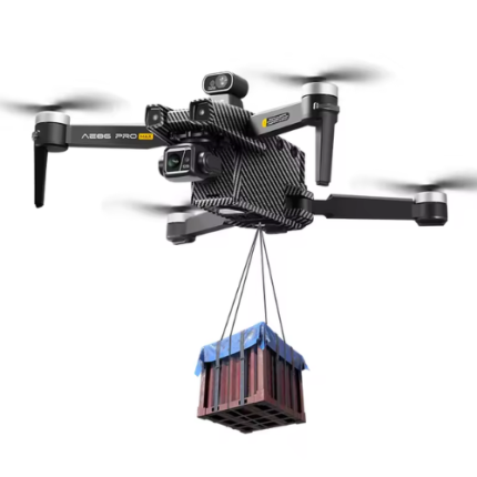
GAO’s Payload drones, also known as delivery drones or cargo drones, are unmanned aerial vehicles (UAVs) designed to transport goods. These drones are equipped with payload systems that allow them to carry and deliver various items, ranging from small packages to heavier loads, depending on their size and capabilities. Typically, payload drones are built with robust, lightweight materials and advanced avionics systems to ensure safe and efficient transport.
GAO Tek payload drones have diverse applications across multiple industries. In logistics and e-commerce, they facilitate last-mile delivery, reducing delivery times and improving customer satisfaction. In agriculture, they are used to distribute fertilizers and pesticides, enabling precise and targeted applications that enhance crop yields. In healthcare, they play a critical role in delivering medical supplies, such as blood products and vaccines, to remote or hard-to-reach areas, especially during emergencies. Additionally, payload drones are employed in disaster relief efforts, providing essential supplies to areas cut off by natural disasters.
These drones are increasingly integrated into business operations due to their flexibility and efficiency, offering a futuristic approach to transportation challenges and showcasing the potential to transform the logistics landscape. As the technology continues to evolve, payload drones are poised to play an even more significant role in modernizing supply chains and delivery services.
Below is the group of Payload Products:
Light Payload Drones, Medium Payload Drones, Heavy Payload Drones, and Modular Payload Drones.
Motor & Wing and Rotor Type
GAO’s Motor & wing drones, also known as fixed-wing drones, are characterized by their airplane-like structure with wings providing lift and motors for propulsion. These drones are typically powered by one or more motors that rotate propellers, enabling them to fly efficiently over long distances. Due to their aerodynamic design, they can cover vast areas quickly and are well-suited for tasks requiring high endurance and speed.
Applications for motor & wing drones span various industries. In agriculture, they are used for crop monitoring and precision farming, helping optimize resource allocation and increase yield. In environmental monitoring, these drones assist in surveying large tracts of land, assessing natural resources, and tracking wildlife. Additionally, they are employed in mapping and surveying, where their long flight times and high-altitude capabilities provide comprehensive aerial imagery and data collection.
Rotor Type drones, also known as rotary-wing drones or multi rotors, are distinguished by their multiple rotors, typically ranging from three to eight. These drones offer exceptional maneuverability and can hover in place, making them ideal for applications such as aerial photography, videography, and inspections. They are extensively used in infrastructure inspection, search and rescue operations, and delivery services, where precision and agility are critical.
Below is the group of Motor & wing and Rotor Type Products:
Single Rotor Drones, Multi-Rotor Drones, Brushed Motor Drones, Brushless Motor Drones, Fixed Wing Drones, and Fixed Wing Hybrid VTOL Drones.
Specialized Functionality
GAO’s Specialized functionality drones, often referred to as application-specific or niche drones, are unmanned aerial vehicles (UAVs) engineered for distinct tasks that go beyond standard imaging or surveillance. These drones are designed for specialized industry needs. For example, agricultural drones equipped with multispectral sensors can monitor crop health and optimize farming practices, while industrial inspection drones are tailored for inspecting infrastructure like bridges and power lines with high-resolution cameras and thermal sensors.
Other examples include delivery drones, which are engineered for transporting goods over short distances, and search and rescue drones, which feature thermal imaging and GPS to assist in locating individuals in emergencies. In the environmental sector, drones with advanced atmospheric sensors can monitor air quality and track wildlife.
Alternative names for these drones include application-specific UAVs, task-oriented drones, and specialized aerial platforms. Their customization allows them to provide targeted solutions across various fields, enhancing operational efficiency and data accuracy.
Below is the group of Specialized Functionality Products:
Camera Drones, FPV Drones, Thermal Images Drones, Follow Me Drones, Collision-Avoidance Drones, Foldable Drones, Underwater Drones, Onboard Storage Drones, and Real-Time Transmission Drones.
We have products in stock and ship overnight to most parts of the U.S. and Canada. We provide 24/7 support. If you have any questions, our technical experts can help you. Please fill out this form or email us.

