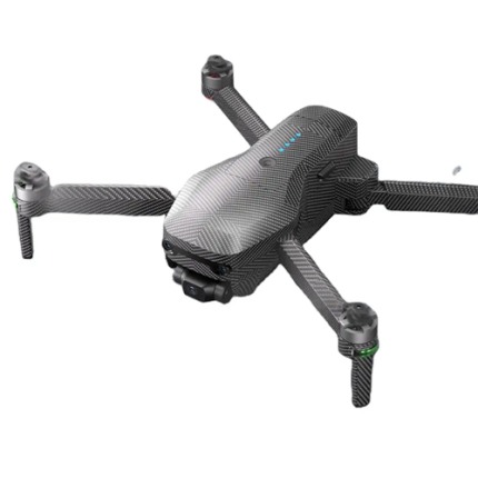
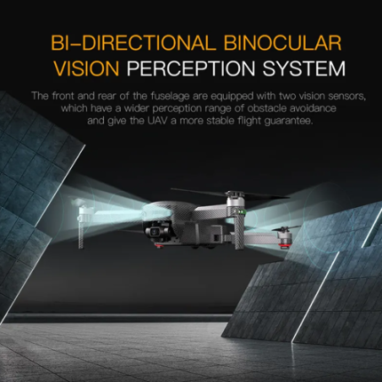
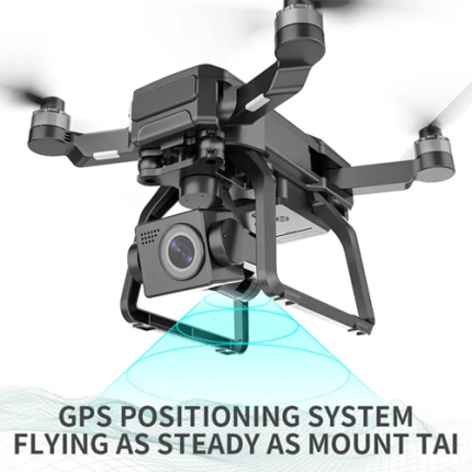
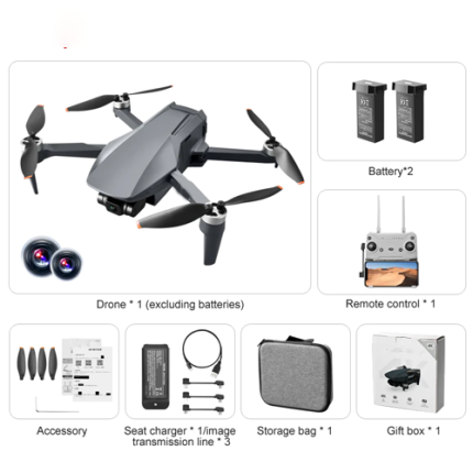
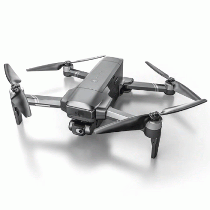
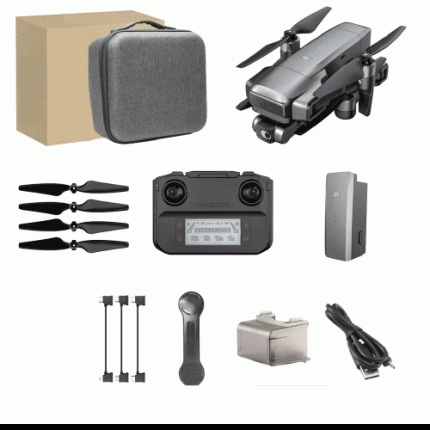
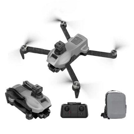
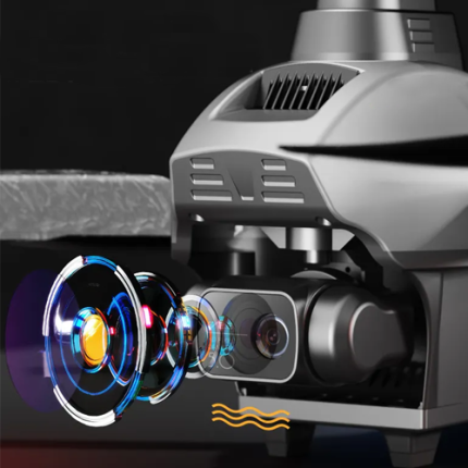
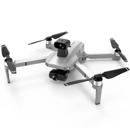
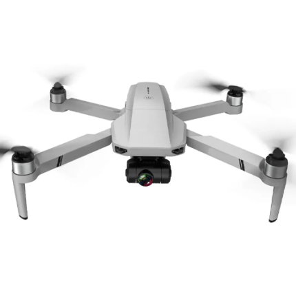
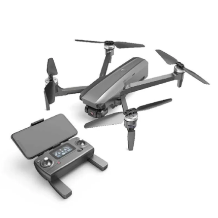
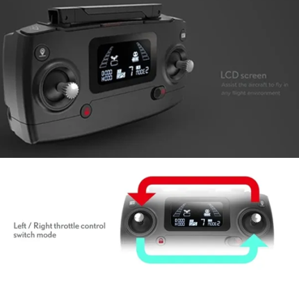
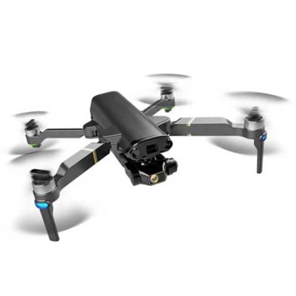
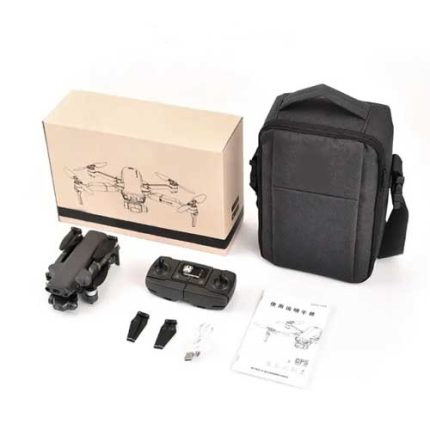
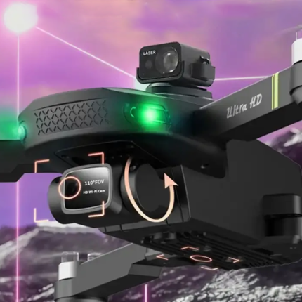
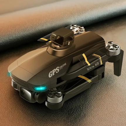
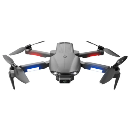
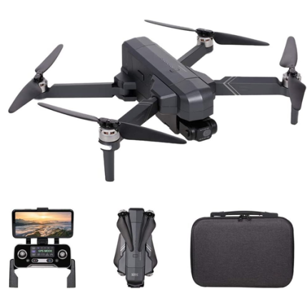
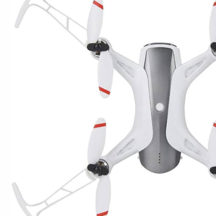
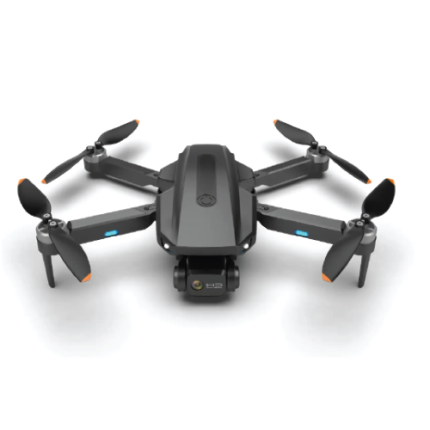
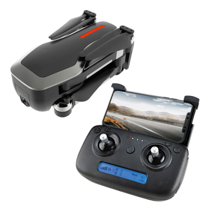
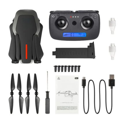
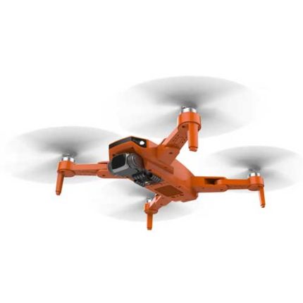
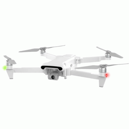
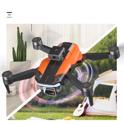
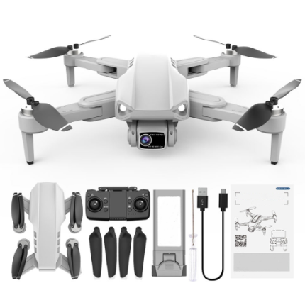
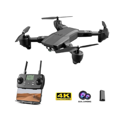
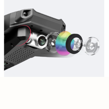
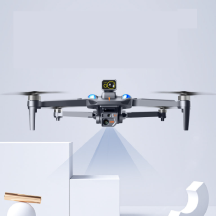
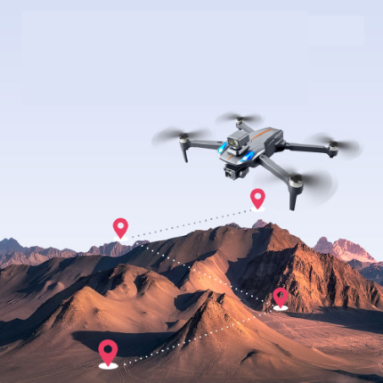
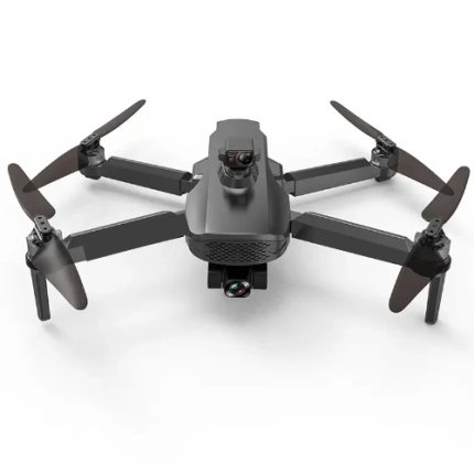
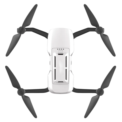
GAO’s Camera Drones, also known as UAVs (Unmanned Aerial Vehicles), have revolutionized aerial photography and videography. Equipped with high-resolution cameras and advanced stabilization systems, these drones provide stunning, clear, and stable footage from unique perspectives. They are used in various industries including real estate, agriculture, filmmaking, and environmental monitoring. Technical professionals appreciate features like GPS navigation, automated flight modes, and obstacle avoidance systems that enhance precision and safety. Battery life and range are critical factors, often determining the duration and scope of aerial projects. The integration of AI and machine learning in some models enables advanced functionalities such as object tracking and automated editing. With continuous advancements, camera drones are becoming indispensable tools for capturing detailed aerial data and imagery.
The Camera Drone may also be called Aerial Photography Drone, UAVs (Unmanned Aerial Vehicle), Aerial Imaging Drone, Aerial Camera System, Quadcopter, Aerial Videography Drone, Flying Camera, Drone Camera, Remote Control Drone, Aerial Survey Drone.
GAOTek 4K HD Anti Shaking Camera Drone
GAOTek 4K PRO Dual Camera with Camera Professional Mini Drone Cameras
GAOTek Aerial Brushless High-Definition Mini Digital Image Camera Drone
GAOTek Aerial Photograph Camera Drone
GAOTek Anti-shake Dual WIFI 5G Obstacle Avoidance Brushless Camera Drone
GAOTek Anti-Shake Gimbal Brushless Motor Camera Drone
GAOTek Anti-shake Professional Camera Drone
GAOTek Anti-Shake Quadcopter Camera Drone
GAOTek Automatic Return 8K Camera Optical Flow Mode GPS
GAOTek Avoiding Brushless Drone Motor Quadcopter Professional Camera Drone
GaoTek Brushless Motor Drone
GaoTek Brushless Motor Quadcopter Drone
GAOTek Brushless Motor RC Quadcopter Drone
GAOTek Brushless Quadcopter Drone
GAOTek Brushless Selfie Foldable Drone HD camera Camera Drone
GAOTek Camera Drone
GAOTek Camera Drone
GAOTek Camera Drone
GAOTek Camera Drone
GAOTek Camera Drone
GAOTek Camera Drone
GAOTek Camera FPV Professional Drone Long Range
GAO’s Camera Drones are composed of the following components:
- Frame
- Motors and Propellers
- Flight Controller
- Camera System
- Batteries
- GPS Modules
- Sensors
- Transmitters and Receivers
GAO Tek’s Camera drones have the following functions:
- Aerial Photography and Videography: GAO’s Camera drones offer professionals the ability to capture stunning aerial shots and videos from unique perspectives. Whether it's for real estate, filmmaking, or advertising, drones provide high-quality footage that adds depth and creativity to projects.
- Surveying and Mapping: In industries like construction, agriculture, and land development, our drones equipped with specialized cameras and software can survey large areas quickly and accurately. They can create detailed maps, 3D models, and analyze terrain, helping professionals make informed decisions.
- Inspection and Maintenance: Our drones are increasingly used for inspecting infrastructure such as bridges, power lines, and pipelines. They can access difficult-to-reach areas without the need for costly scaffolding or risking human safety. Thermal cameras on drones also enable professionals to identify issues like leaks or heat loss.
- Search and Rescue Operations: In emergency situations, our drones equipped with thermal imaging cameras and GPS technology can aid in search and rescue missions. They can cover large areas efficiently, identify heat signatures, and provide real-time data to responders, improving the chances of finding missing persons or assessing disaster areas.
- Environmental Monitoring: Environmental scientists and conservationists utilize drones to monitor ecosystems, wildlife populations, and natural disasters. Our drones equipped with various sensors can collect data on air and water quality, habitat health, and changes in landscape, contributing to research and conservation efforts.
- Security and Surveillance: GAO’s Drones equipped with cameras and live-streaming capabilities are valuable tools for security professionals. They can patrol large areas, monitor crowds, and provide real-time aerial surveillance, enhancing security measures for events, facilities, and public spaces.
- Delivery and Logistics: With advancements in drone technology, some industries are exploring the use of drones for package delivery and logistics. GAO Tek’s drones can transport small payloads over short distances quickly and efficiently, potentially revolutionizing last-mile delivery in sectors like e-commerce and healthcare.
GAO Tek’s Camera Drones comply with applicable industry standards such as:
- FAA Regulations
- ISO 21384-3
- ASTM F38 Standards
- CE Marking
- FCC Compliance
- RTCA DO-178C
- UL Certification
- GDPR Compliance
- Transport Canada Regulations
- ICAO Standards
Our Camera Drones helps our customers comply with relevant U.S. government regulations such as:
- FAA Part 107
- FAA Section 333 Exemption
- FAA Remote ID Rule
- FAA Certificate of Waiver or Authorization (COA)
- FAA Recreational Drone Rules
- FCC Equipment Authorization
- National Defense Authorization Act (NDAA) Compliance
- National Park Service Regulations
- State and Local Drone Laws
- Export Control Regulations (ITAR/EAR)
Our Camera Drones helps our customers in complying with relevant Canadian government regulations such as:
- Transport Canada's Canadian Aviation Regulations (CARs)
- Transport Canada's RPAS Safety Assurance Regulations (SOR/2019-11)
- Transport Canada's Knowledge Requirements for Pilots of Remotely Piloted Aircraft Systems (TP 15263)
- Transport Canada's Flight Restrictions (NOTAMs)
- Transport Canada's Special Flight Operations Certificate (SFOC) requirements
- Transport Canada's Exemptions for Recreational Drone Use
- Transport Canada's Drone Insurance Requirements
- Transport Canada's Pilot Certification Requirements
- Privacy and Data Protection Laws (e.g., PIPEDA)
- Environmental Protection Laws
Our Camera Drones have the following applications:
- Aerial Photography and Videography: GAO Tek Camera drones are extensively used in the entertainment industry for filming movies, TV shows, and commercials. They offer unique perspectives and dynamic shots that traditional cameras cannot achieve. Photographers and videographers use drones for capturing breathtaking landscapes, real estate promotions, and events like weddings and sports.
- Surveying and Mapping: In surveying and mapping, drones equipped with high-resolution cameras and GPS technology can quickly capture detailed aerial images of large areas. These images are used to create accurate maps, 3D models, and topographical surveys. This application is particularly beneficial in construction, mining, and land development, where precise measurements are crucial.
- Agriculture: Agricultural professionals use our Camera drones for crop monitoring and management. Drones can capture multispectral images to assess crop health, identify pest infestations, and monitor irrigation systems. This data helps farmers make informed decisions to optimize crop yields and reduce costs.
- Infrastructure Inspection: Drones are invaluable for inspecting infrastructure such as bridges, power lines, wind turbines, and pipelines. They can safely reach hard-to-access areas, reducing the need for dangerous manual inspections. High-definition cameras and thermal imaging sensors help detect structural damage, corrosion, and other issues, ensuring timely maintenance and reducing downtime.
- Emergency Response and Disaster Management: In emergency situations, Camera drones provide real-time aerial views of affected areas, aiding in search and rescue operations, damage assessment, and resource allocation. Drones can quickly locate missing persons, assess the extent of natural disasters, and deliver critical supplies to inaccessible locations.
- Environmental Monitoring and Conservation: Environmental professionals use drones to monitor wildlife, track animal movements, and assess habitat conditions. Drones can also monitor deforestation, pollution levels, and changes in ecosystems. This data is crucial for conservation efforts, research, and implementing environmental protection policies.
- Security and Surveillance: Our Camera drones enhance security and surveillance operations in both public and private sectors. They provide live aerial footage for monitoring large events, patrolling borders, and securing critical infrastructure. Drones equipped with night vision and thermal cameras can operate in low-light conditions, offering 24/7 surveillance capabilities.
- Telecommunications: In the telecommunications industry, drones are used to inspect cell towers and other communication infrastructure. They help in assessing the condition of antennas, cables, and other equipment, ensuring optimal performance and minimizing service disruptions.
- Media and Journalism: Journalists use Camera drones to capture live footage of breaking news events, providing a bird's-eye view of protests, natural disasters, and other significant occurrences. This enhances news coverage and offers viewers unique perspectives on current events.
- Logistics and Delivery: While still in the experimental phase, GAO Tek’s Camera drones hold potential for revolutionizing logistics and delivery services. Companies are exploring the use of drones to deliver packages, medical supplies, and other goods to remote or urban areas, reducing delivery times and costs.
Below are our resource pages containing useful information on Camera Drones:
FAQs on Camera Drones on GAOTek.com
Operation, Maintenance & Calibration of a Camera Drone
Customers in the U.S. and Canada of Camera Drones
Application of Camera Drones in Security
Our Camera Drones are in stock and can be shipped overnight within the continental U.S. and Canada from a nearby warehouse in the U.S. or Canada and can also be shipped globally.
We provide 24/7 support. If you have any questions, our technical experts can help you. Please fill out this form or email us.

