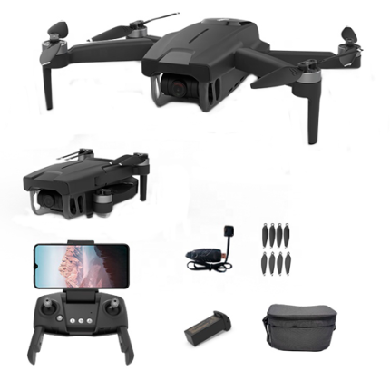
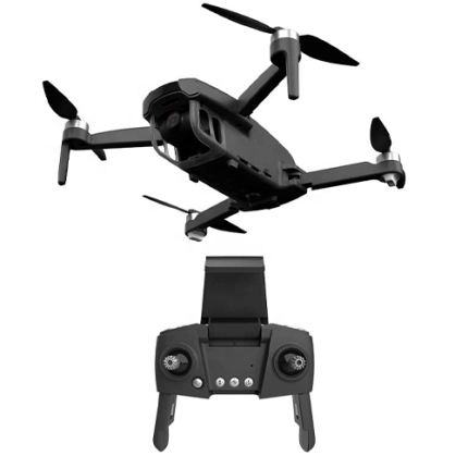
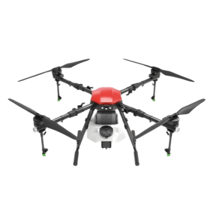
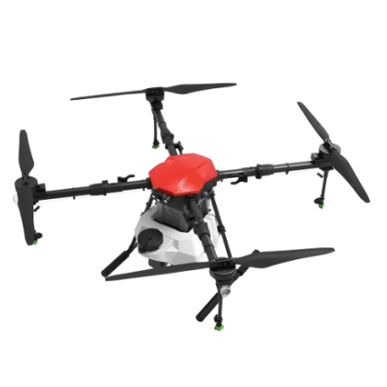
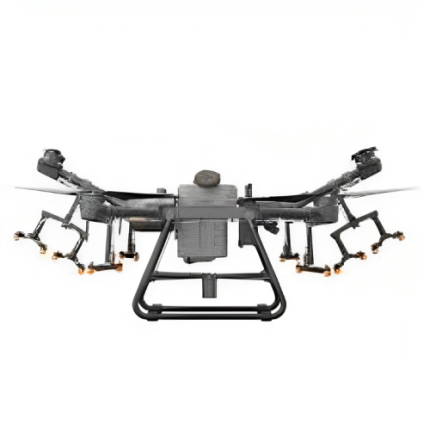
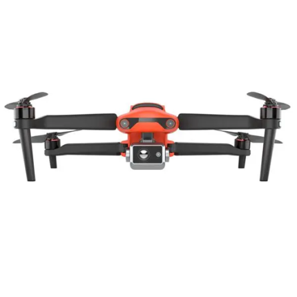
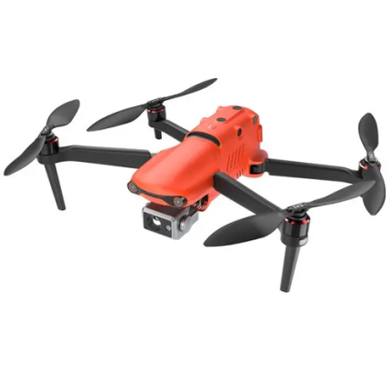
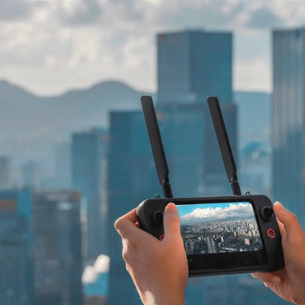
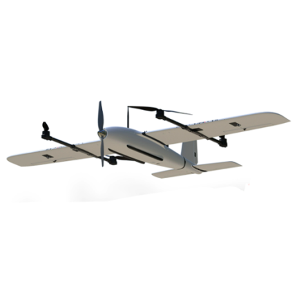
GAO’s Fair-Weather Drones are unmanned aerial vehicles (UAVs) designed specifically for optimal performance in mild weather conditions. These drones are equipped with advanced sensors and lightweight materials to ensure efficient operation without compromising maneuverability or payload capacity. They excel in scenarios where stable atmospheric conditions prevail, such as clear skies and minimal wind turbulence. Fair-weather drones are favored for tasks like aerial photography, surveillance, and mapping missions where precise navigation and reliable data collection are crucial. Their design focuses on maximizing flight endurance and maintaining operational stability under ideal weather conditions, making them reliable tools for various technical applications requiring consistent performance in favorable weather environments.
The Fair-Weather Drones may also be called: good weather drones, Clear sky drones, Sunny day drones, Mild weather drones, Calm weather drones, Fair sky drones, non-storm drones, Fine weather drones, pleasant weather drones and Optimal condition drones.
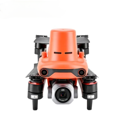
Compact 4K Drone with GPS & 26-Min Flight Time – GAOTek
GAOTek AgriScope LongRanger EP
GAOTek Autonomous Drone
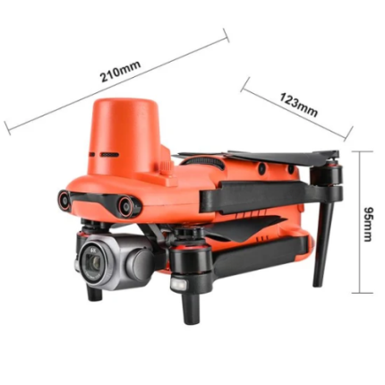
GAOTek Thermal Imaging Drone
GAOTek UAV Drone
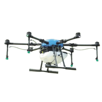
GAOtek- Long Range Agricultural Sprayer FPV Drone
GAOTek-Photo Replication FPV Drone
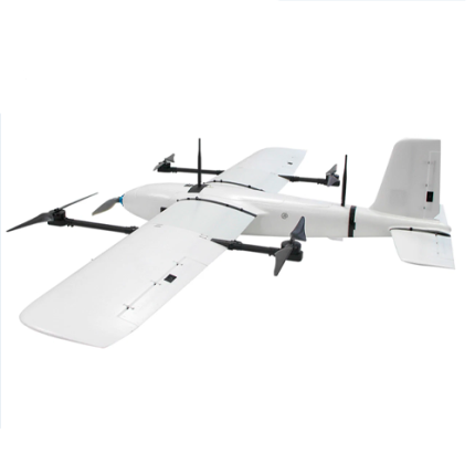
VTOL Drone with Remote Control & 20-Min Flight Time – GAOTek
GAO’s Fair-Weather Drones are composed of the following components:
- Airframe
- Motors
- Propellers
- Electronic Speed Controllers (ESCs)
- Battery
- Power Distribution Board (PDB)
- Microcontroller Unit (MCU)
- Firmware
- Inertial Measurement Unit (IMU)
- GPS Module
- Barometer
- Obstacle Avoidance Sensors (e.g., LiDAR, ultrasonic)
- Optical Flow Sensors
- Radio Transmitter and Receiver
- Telemetry System
- Autopilot System
- Ground Control Station (GCS)
- Cameras
- Additional Payloads
- Failsafe Mechanisms
- Redundant Systems
- Flight Planning Software
- Data Analysis Software
GAO Tek’s Fair-Weather Drones have the following functions:
- Aerial Photography and Videography: GAO’s Fair-weather drones are extensively used for capturing high-quality aerial images and videos. The clear skies and stable atmospheric conditions allow for crisp, clear footage without the interference of weather elements like rain, wind, or fog. This application is prevalent in media production, real estate, tourism, and event documentation.
- Agricultural Monitoring and Management: In agriculture, our fair-weather drones play a crucial role in crop monitoring, irrigation management, and precision agriculture. They are equipped with multispectral and thermal sensors to assess plant health, identify pest infestations, and monitor irrigation levels. The clear weather ensures uninterrupted data collection, which is vital for making informed decisions and improving crop yields.
- Surveying and Mapping: Surveying and mapping require accurate data collection over large areas. GAO Tek Fair-weather drones are ideal for these tasks due to their ability to capture high-resolution images and generate detailed maps without the risk of weather-induced distortions. These drones are used in topographical surveys, land management, urban planning, and infrastructure development.
- Infrastructure Inspection: The infrastructure inspection, including monitoring bridges, power lines, pipelines, and wind turbines, benefits significantly from the use of fair-weather drones. The stability and visibility provided by clear weather conditions allow drones to perform close-up inspections and detect faults or damages with high accuracy, enhancing maintenance efficiency and safety.
- Environmental Monitoring: Our Fair-weather drones are essential tools for environmental monitoring and conservation efforts. They are used to track wildlife, monitor deforestation, assess water bodies, and study natural habitats. The clear weather facilitates the collection of precise and consistent data, crucial for environmental research and policymaking.
- Disaster Response and Management: In disaster response scenarios, our fair-weather drones provide critical support by offering real-time aerial views of affected areas. They assist in assessing damage, identifying safe routes for rescue operations, and delivering supplies. The ability to operate in clear weather ensures that response teams receive reliable information without delays caused by adverse weather conditions.
- Search and Rescue Operations: GAO Tek Fair-weather drones enhance search and rescue missions by providing aerial surveillance over large areas. Equipped with thermal cameras and other sensors, they help locate missing persons, especially in challenging terrains. The favorable weather conditions improve the drones' flight stability and the clarity of the imagery, increasing the chances of successful rescues.
- Commercial Delivery Services: The logistics industry is exploring the use of fair-weather drones for commercial delivery services. These drones can transport small packages quickly and efficiently, reducing delivery times and costs. Operating in clear weather ensures the safety and reliability of the delivery process, minimizing the risk of weather-related disruptions.
- Scientific Research and Exploration: GAO Tek Fair-weather drones are invaluable in scientific research and exploration, including geological surveys, archaeological excavations, and oceanographic studies. They provide a bird’s-eye view of research sites, enabling detailed analysis and data collection without the hindrance of bad weather.
GAO Tek’s Fair-Weather Drones comply with applicable industry standards such as:
- Federal Aviation Administration (FAA) Regulations (U.S.)
- European Union Aviation Safety Agency (EASA) Regulations (EU)
- ISO 21384 Series
- ASTM Standards
- RTCA DO-178C/DO-254
- NIST Framework
- IEEE Standards
- IP Rating
- IEC 62239-1
- ISO 18497
- GDPR
- CCPA
- CE Marking
- FCC Certification
- ISO 26000
- UL
Our Fair-Weather Drones helps our customers comply with relevant U.S. government regulations such as:
- Register Your Drone
- Fly for Recreational Purposes Only
- Fly Below 400 Feet
- Keep Your Drone Within Visual Line-of-Sight
- Do Not Fly Near Other Aircraft
- Do Not Fly Over People or Moving Vehicles
- Do Not Fly Near Emergency Response Activities
- Check Airspace Restrictions
- Obtain a Remote Pilot Certificate
- Register Your Drone
- Fly Under 400 Feet
- Fly During Daylight or Civil Twilight
- Maintain Visual Line-of-Sight
- Fly at or Below 100 mph
- Yield Right of Way
- Do Not Fly Over People
- No Operations from a Moving Vehicle
- Airspace Authorization
- Privacy
- State and Local Regulations
- No-Fly Zones
Our Fair-Weather Drones helps our customers comply with relevant Canadian government regulations such as:
- Drone registration and pilot certification
- Line of sight operation
- Restrictions near airports and controlled airspace
- Liability insurance
- Maintenance and safety checks
- Privacy laws
- Night flying requirements
Our Fair-Weather Drones have the following applications:
- Agricultural Monitoring: In agriculture, these drones are employed for precision farming. They can monitor crop health, assess soil conditions, and provide detailed aerial maps to optimize planting, irrigation, and harvesting. Their accuracy in clear weather conditions enhances the effectiveness of these applications.
- Infrastructure Inspection: Our drones are increasingly used to inspect infrastructure such as bridges, power lines, and buildings. Fair-weather drones provide detailed and reliable inspections by minimizing the risk of weather-related interference, which is crucial for identifying potential issues and ensuring maintenance.
- Environmental Research: Researchers use fair-weather drones to study ecosystems, track wildlife, and monitor environmental changes. The ability to collect high-resolution data in optimal weather conditions allows for accurate analysis and better-informed conservation efforts.
- Search and Rescue Operations: In search and rescue missions, fair-weather drones can quickly survey large areas and provide real-time video feeds. Their effectiveness is enhanced under good weather conditions, which helps rescuers locate missing persons or assess disaster-stricken areas.
- Surveying and Mapping: Drones equipped with high-precision sensors and cameras are used for topographic surveys and mapping projects. Fair-weather conditions ensure the accuracy and reliability of the data collected, which is vital for engineering, construction, and land management.
- Event Coverage: For events such as sports, festivals, and large gatherings, fair-weather drones offer a unique aerial perspective. They can capture dynamic footage and provide live feeds, enhancing the viewer experience and event documentation.
- Real Estate: In real estate, our fair-weather drones are used to create stunning aerial views of properties. This application helps potential buyers visualize the property’s layout and surrounding area, making it a valuable marketing tool for real estate agents.
- Public Safety and Surveillance: Drones can be deployed for monitoring public spaces and ensuring safety. Fair-weather conditions help maintain clear visuals for surveillance purposes, aiding in crowd management and detecting potential security threats.
Below are our resource pages containing useful information on Fair-Weather Drones:
How to Choose a Fair-Weather Drone
Components of a Fair-Weather Drone
Operation, Maintenance & Calibration of a Fair-Weather Drone
Customers in the U.S. and Canada of Fair-Weather Drones
Our Fair-Weather Drones are in stock, can be shipped overnight within the continental U.S. and Canada from a nearby warehouse in the U.S. or Canada, and can be shipped globally.
We provide 24/7 support. If you have any questions, our technical experts can help you. Please fill out this form or email us.

