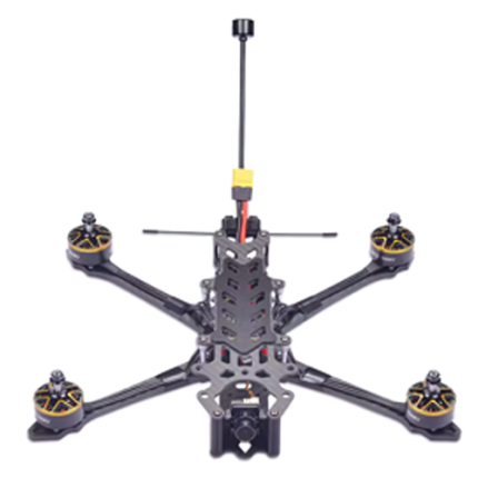
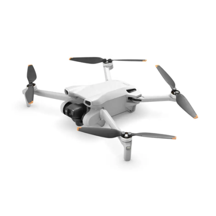
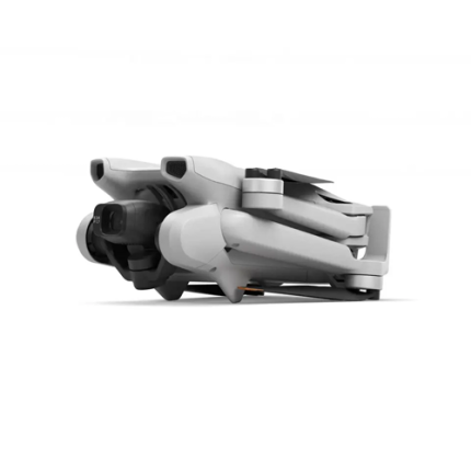
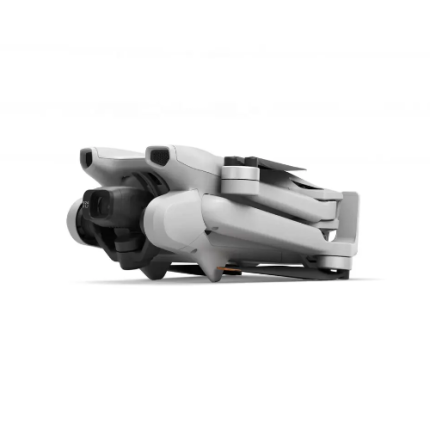
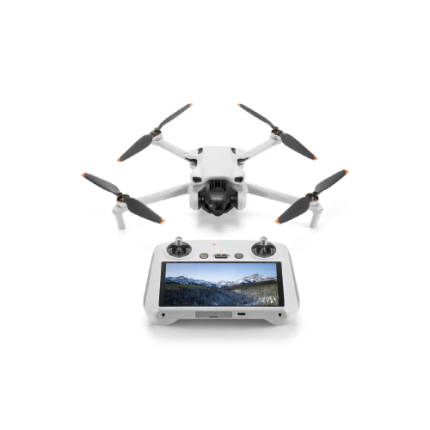
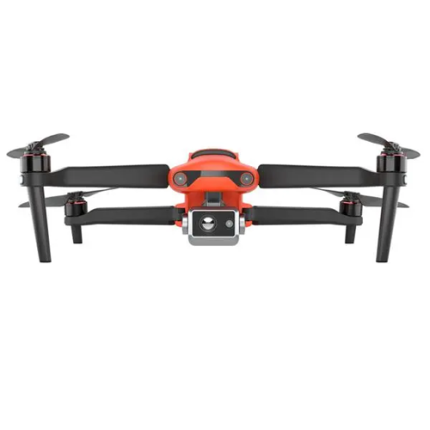
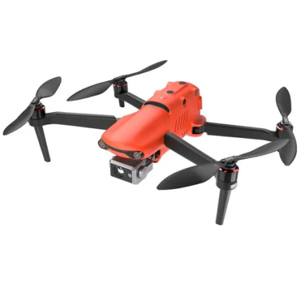
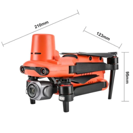
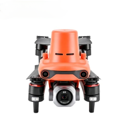
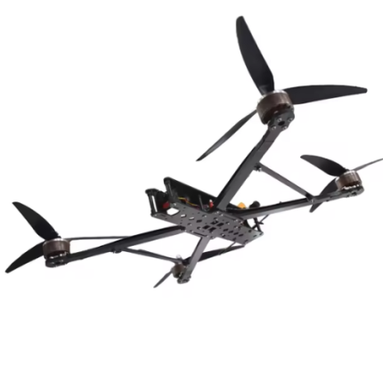
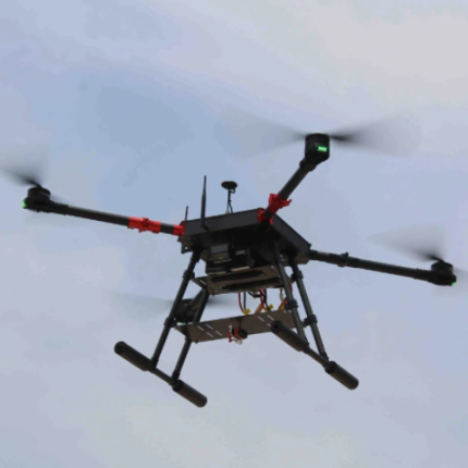
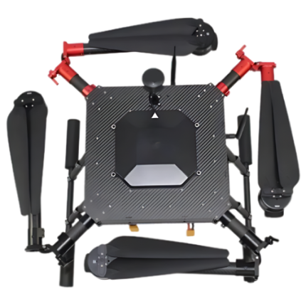
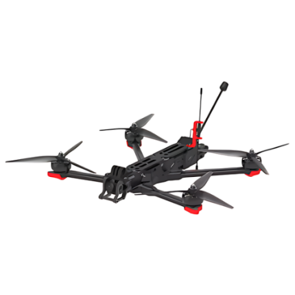
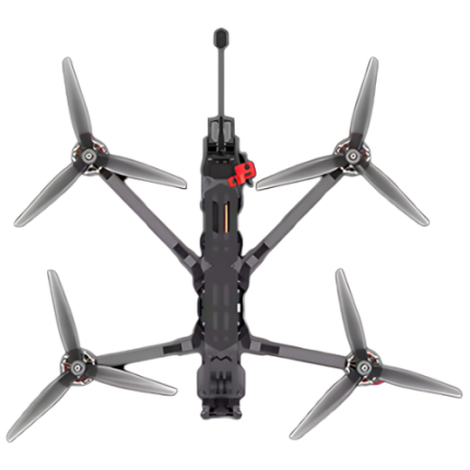
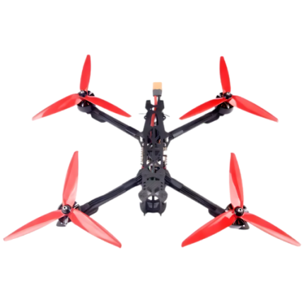
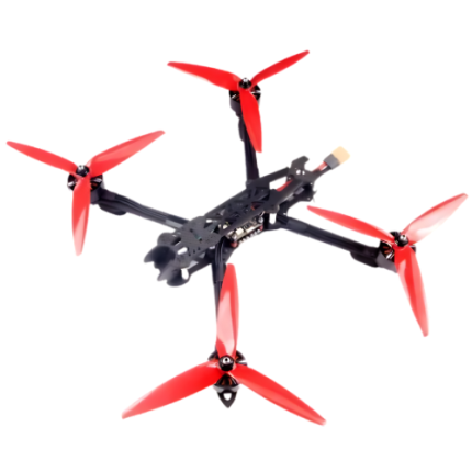
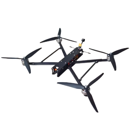
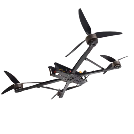
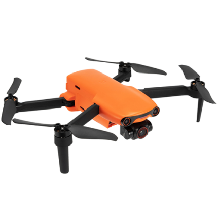
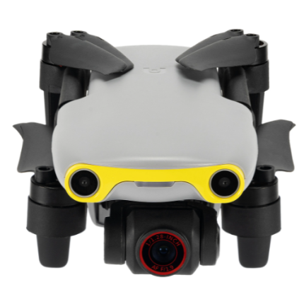
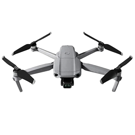
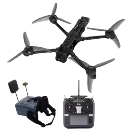
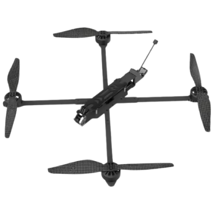
GAO’s High-Altitude Drones are advanced unmanned aerial vehicles designed to operate at elevations above 20,000 feet. Equipped with robust engines, sophisticated navigation systems, and high-endurance batteries, these drones can perform a range of tasks in extreme conditions. They are utilized in various sectors, including scientific research, military surveillance, and environmental monitoring. High-altitude drones offer extended flight times and the ability to capture high-resolution data over vast areas, making them invaluable for mapping, disaster response, and communication relay. Their ability to withstand harsh weather conditions and operate in thin air makes them a critical asset for missions that require persistent and precise aerial observation.
The High-Altitude Drones may also be called: High-altitude unmanned aerial vehicles (UAVs), Stratospheric drones, High-altitude long-endurance (HALE) drones, High-flyer drones, High-altitude aerial platforms, and Upper-atmosphere UAVs.
FPV Drone For Long-Range Aerial Photography-GAOTek
GAOTek GPS Long Range Drone
GAOTek GPS Long Range Drone
GAOTek Thermal Imaging Drone
GAOTek-Photo Replication FPV Drone
GPS Positioning Function Thermal Imaging Payload Drone- GAOTek
High Altitude Collision Prevention Custom Drone – GAOTek
High Altitude Collision Prevention Custom Drone- GAOTek
High Speed FPV RC Drone With LED Lights-GAOTek
High-Altitude Drone with Navigation Control System-GAOTek
High-Speed FPV Drone, 7km Range, 45-Min Flight, Voice Control – GAOTek
Nano Quadcopter Drone With Obstacle Avoidance-GAOTek
Professional High-Altitude Drone with Foldable Feature- GAOTek
Remote Racing Drone with Powerful Battery- GAOTek
GAO’s High-Altitude Drones are composed of the following components:
- Airframe
- Propulsion System
- Navigation System
- Communication System
- Sensors and Cameras
- Power Supply
- Autopilot System
- Thermal Management
- Landing Gear
- Payload Bay
GAO Tek’s High-Altitude Drones have the following functions:
- Surveillance and Reconnaissance: GAO’s High-altitude drones are extensively used for surveillance and reconnaissance missions. They provide continuous monitoring over large areas, collecting real-time data and high-resolution imagery. This capability is vital for military operations, border security, and disaster management.
- Communications Relay: One of the significant functions of high-altitude drones is to serve as communications relays. Positioned in the stratosphere, they can act as flying cell towers, enhancing communication networks in remote or disaster-stricken areas where ground infrastructure is damaged or non-existent. This function is crucial for both military communication and civilian emergency response.
- Environmental Monitoring: Our High-altitude drones play a critical role in environmental monitoring. They can gather data on atmospheric conditions, weather patterns, and climate change indicators. Equipped with specialized sensors, these drones can measure greenhouse gas concentrations, track pollution, and monitor natural phenomena such as hurricanes and forest fires.
- Scientific Research: These drones are invaluable tools for scientific research. They provide a platform for experiments and data collection at high altitudes where manned aircraft cannot easily operate. Researchers use them to study atmospheric physics, space weather, and cosmic rays, contributing to our understanding of the Earth's upper atmosphere and beyond.
- Border and Maritime Patrol: For nations with extensive borders and coastlines, our high-altitude drones are essential for patrolling and monitoring. They can cover vast areas, detect illegal activities such as smuggling or unauthorized crossings, and relay critical information to authorities in real-time, enhancing national security efforts.
- Infrastructure Inspection: GAO Tek High-altitude drones are used to inspect critical infrastructure such as pipelines, power lines, and railways. Their ability to fly at high altitudes and cover long distances makes them ideal for surveying large-scale infrastructure, identifying potential issues, and ensuring maintenance and safety standards are met.
- Disaster Response: In the aftermath of natural disasters, our high-altitude drones provide invaluable assistance. They can quickly survey affected areas, assess damage, and identify survivors, facilitating efficient rescue and relief operations. Their high endurance allows for prolonged missions, crucial for ongoing assessment and coordination in disaster-stricken regions.
- Agricultural Monitoring: GAO’s High-altitude drones contribute to precision agriculture by providing detailed imagery and data on crop health, soil conditions, and irrigation needs. This information helps farmers optimize resource use, improve crop yields, and implement sustainable farming practices.
- Geospatial Mapping: These drones are also employed for geospatial mapping and surveying. They create high-resolution maps and 3D models of terrains, which are essential for urban planning, construction projects, and natural resource management.
- Security and Law Enforcement: GAO Tek High-altitude drones support law enforcement agencies by providing aerial surveillance during large public events, tracking criminal activities, and assisting in search and rescue missions. Their ability to cover extensive areas quickly and discreetly is a significant advantage for maintaining public safety and security.
GAO Tek’s High-Altitude Drones comply with applicable industry standards such as:
- ISO 9001
- ISO 14001
- ISO/IEC 27001
- RTCA DO-178C
- RTCA DO-254
- MIL-STD-810
- MIL-STD-461
- CE Marking
- FCC Part 107
- EASA SORA
Our High-Altitude Drones help our customers comply with relevant U.S. government regulations such as:
- FAA Part 107 (Federal Aviation Administration Part 107)
- FAA Part 91 (Federal Aviation Administration Part 91)
- FAA Part 135 (Federal Aviation Administration Part 135)
- DOT Regulations (Department of Transportation Regulations)
- CFR Title 14 (Code of Federal Regulations Title 14)
Our High-Altitude Drones help our customers in complying with relevant Canadian government regulations such as:
- CARs Part IX (Canadian Aviation Regulations Part IX)
- Transport Canada Regulations (Transport Canada Regulations)
- Canadian Aviation Regulations (CARs) (Canadian Aviation Regulations)
- CROSS-BORDER (Cross-Border Regulations)
Our High-Altitude Drones have the following applications:
- Aerial Surveillance: GAO Tek High-altitude drones provide extensive aerial surveillance for monitoring large areas. This application is crucial for security, border patrol, and large-scale event management.
- Environmental Monitoring: They are used to monitor environmental changes, such as deforestation, water quality, and air pollution, offering a high vantage point for comprehensive data collection.
- Agricultural Management: In agriculture, our high-altitude drones gather data on crop health, soil conditions, and irrigation needs, helping optimize farming practices and increase yields.
- Disaster Response: These drones play a critical role in disaster response by assessing damage, mapping affected areas, and coordinating rescue efforts, especially in challenging terrains.
- Telecommunications: Our High-altitude drones act as temporary communication relays, enhancing network coverage and connectivity in remote or disaster-stricken areas where ground infrastructure is compromised.
- Military and Defense Operations: They are utilized for reconnaissance, surveillance, and intelligence gathering in military operations, providing strategic insights and enhancing operational effectiveness.
- Climate Research: GAO’s High-altitude drones collect atmospheric data, monitor weather patterns, and study climate phenomena, contributing to scientific research and climate modeling.
- Geospatial Mapping: They are employed for creating detailed maps and conducting surveys, supporting urban planning, land management, and infrastructure development.
- Wildlife Tracking: These drones are used for tracking and monitoring wildlife, helping in conservation efforts by providing data on animal behavior, migration patterns, and habitat conditions.
- Infrastructure Inspection: GAO Tek High-altitude drones inspect critical infrastructure such as bridges, power lines, and pipelines, offering a safer and more efficient alternative to traditional inspection methods.
Below are our resource pages containing useful information on High-Altitude Drones:
How to Choose a High-Altitude Drone
Components of a High-Altitude Drone
Operation, Maintenance & Calibration of a High-Altitude Drone
Customers in the U.S. and Canada of High-Altitude Drones
Our High-Altitude Drones are in stock and can be shipped overnight within the continental U.S. and Canada from a nearby warehouse in the U.S. or Canada and can also be shipped globally.
We provide 24/7 support. If you have any questions, our technical experts can help you. Please fill out this form or email us.


