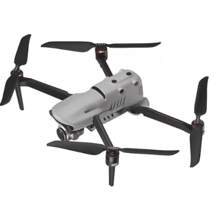
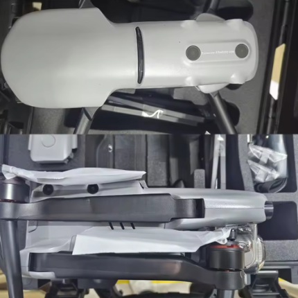
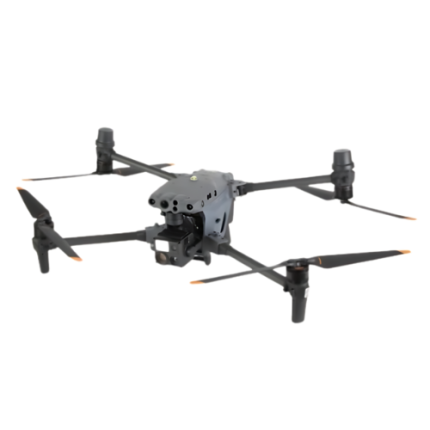
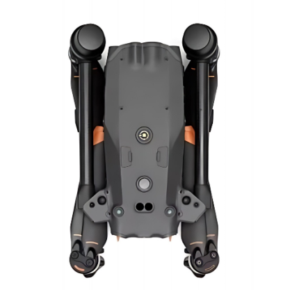
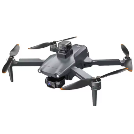
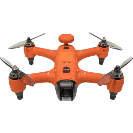
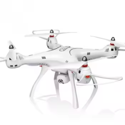
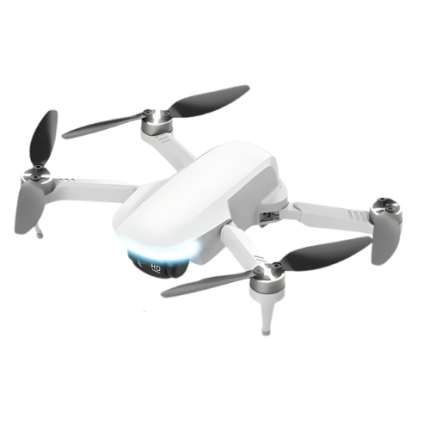
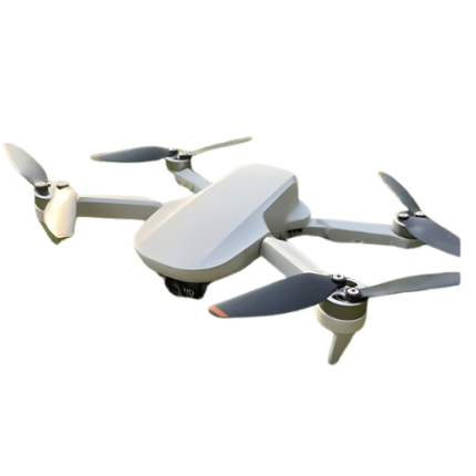
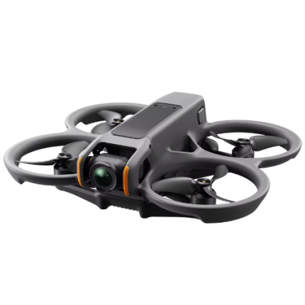
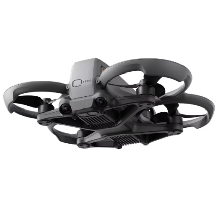
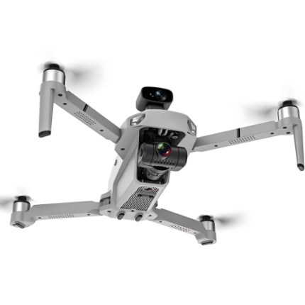
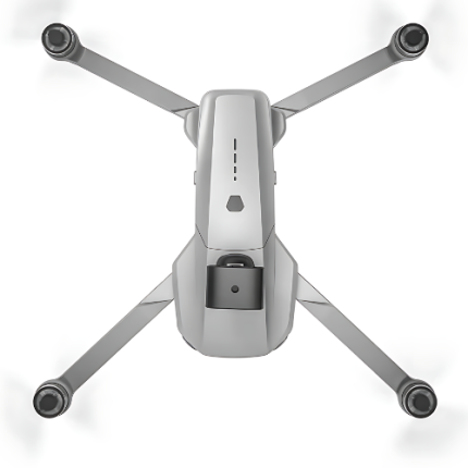
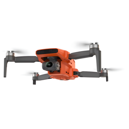
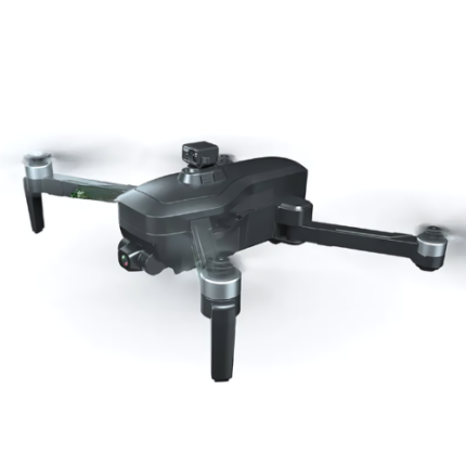
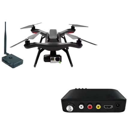
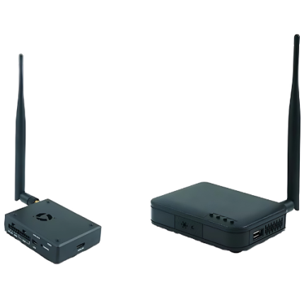
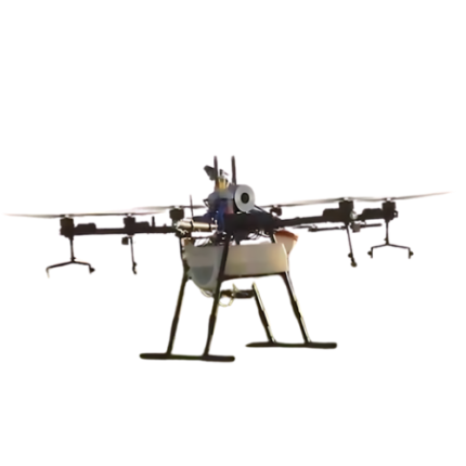
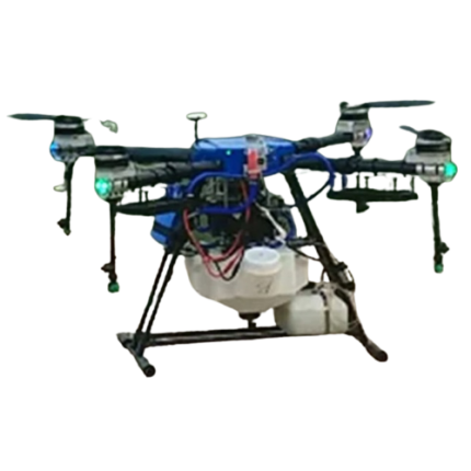
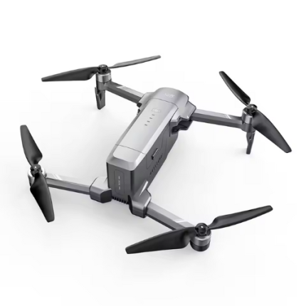
GAO’s Hybrid Navigation Drones are advanced aerial vehicles designed to operate seamlessly in both terrestrial and aerial environments. Equipped with dual-mode propulsion systems, it can transition smoothly between flying and ground-based movement. This versatility is achieved through a combination of rotors for flight and wheeled or tracked mechanisms for ground travel. The drone is typically integrated with sophisticated navigation systems, including GPS, LiDAR, and visual odometer, enabling precise location tracking and obstacle avoidance in complex environments. Its applications range from search and rescue missions in disaster-stricken areas to industrial inspections in confined spaces. The hybrid design enhances operational flexibility, allowing the drone to adapt to various terrains and conditions, thereby expanding its utility and efficiency in diverse scenarios.
The Hybrid Navigation Drones may also be called: Dual-mode drones, multi-terrain drones, Hybrid UAV (Unmanned Aerial Vehicle), amphibious drones, Transforming drones, Bi-modal drones, Ground-air hybrid drones, Versatile navigation drones, Hybrid aerial-ground vehicles, and All-terrain UAVs.
GAO’s Hybrid Navigation Drone is composed of the following components:
- Flight Control System (FCS)
- Navigation Sensors
- Propulsion System
- Power Management Unit
- Communication System
- Structural Frame
- Payload Integration System
- Software and Algorithms
- Ground Control Station (GCS)
- Environmental Sensors
- Safety and Redundancy Systems
- Landing Gear
- Data Storage and Processing Unit
- Antenna System
- Cooling System
GAO Tek’s Hybrid Navigation Drone has the following functions:
- Enhanced Positioning Accuracy: GAO’s hybrid navigation drones combine GPS/GLONASS (Global Positioning System/Global Navigation Satellite System) with other positioning technologies such as visual odometers, inertial measurement units (IMUs), and barometers. This integration improves positional accuracy, especially in GPS-denied or GPS-weak areas like indoors or densely built environments.
- Adaptive Navigation: By leveraging multiple navigation systems, these drones can adapt to varying environmental conditions. For instance, they can switch between GPS and visual-based navigation depending on satellite visibility and the drone's altitude. This adaptability ensures reliable navigation and obstacle avoidance.
- Improved Obstacle Avoidance: GAO Tek hybrid navigation drones often include advanced sensors such as LiDAR, ultrasonic sensors, or stereoscopic cameras. These sensors work with navigation systems to detect and avoid obstacles, providing better safety and reducing collision risks in complex environments.
- Precision Landing: With the integration of various sensors and navigation systems, hybrid drones achieve greater precision during landing. They can utilize visual markers or ground-based systems to ensure accurate and stable landings, even in areas where GPS signals might be unreliable.
- Robust Flight Stability: The fusion of GPS with IMUs helps maintain flight stability and trajectory control. IMUs provide real-time feedback on the drone’s orientation and movement, complementing GPS data to correct deviations and ensure smooth, stable flight.
- Autonomous Mission Execution: Our hybrid navigation systems enable drones to execute autonomous missions with high precision. They can follow pre-defined flight paths, perform complex maneuvers, and complete tasks like surveying or inspection with minimal human intervention.
- Data Fusion for Enhanced Situational Awareness: By integrating data from multiple sources, our hybrid navigation drones offer enhanced situational awareness. This comprehensive data fusion helps in better decision-making and real-time adjustments based on the drone’s operational environment.
- Enhanced Communication Systems: These drones may incorporate communication technologies such as radio frequency (RF) communication, cellular networks, or satellite communication to maintain reliable links with ground control. This ensures continuous data transfer and command execution even in remote or challenging terrains.
- Fail-Safe Mechanisms: In case of failure in one navigation system, hybrid drones can rely on alternative systems to maintain flight operations. This redundancy adds an extra layer of safety, ensuring that the drone can still operate or safely return to base.
- Flexibility in Application: The versatility of hybrid navigation systems allows drones to be used in various applications, from search and rescue operations to agricultural monitoring and infrastructure inspection. The ability to operate effectively in diverse conditions makes them valuable tools across different industries.
GAO Tek’s Hybrid Navigation Drone comply with applicable industry standards such as:
- ISO 21384-3:2019
- ASTM F2910
- ASTM F3003
- RTCA DO-178C
- RTCA DO-254
- IEEE 1938-2019
- SAE ARP4754A
- SAE AS9100D
- DO-160G
- ISO/IEC 27001
Our Hybrid Navigation Drone helps our customers comply with relevant U.S. government regulations such as:
- FAA Part 107
- FAA Part 135
- FAA Part 91
- FAA Part 48
- FAA Remote ID Rule
- National Defense Authorization Act (NDAA)
- Section 333 Exemption
- Temporary Flight Restrictions (TFRs)
- Federal Communications Commission (FCC) Regulations
- Privacy and Data Security
- Export Control Regulations
- Environmental Protection Agency (EPA) Regulations
Our Hybrid Navigation Drone helps our customers comply with relevant Canadian government regulations such as:
- Transport Canada Part IX
- Transport Canada Part VI
- Canadian Aviation Regulations (CARs) Part IX
- Remote ID Requirements
- Privacy Laws (PIPEDA)
- Radio Equipment Regulations (ISED)
- National Defense Act
- Canadian Environmental Assessment Act
Our Hybrid Navigation Drone has the following applications:
- Agriculture: GAO’s hybrid navigation drones are instrumental in precision agriculture. They combine GPS with visual or LIDAR sensors to monitor crop health, assess field conditions, and optimize the application of fertilizers and pesticides. This integration allows for detailed mapping and more accurate data collection, leading to increased crop yields and efficient resource management.
- Search and Rescue Operations: In search and rescue missions, our hybrid navigation drones can operate effectively in challenging environments. They utilize GPS for broad area searches and additional sensors, such as thermal imaging and optical cameras, to locate individuals. The ability to switch between navigation modes ensures reliable operation in areas with poor GPS signals, such as dense forests or urban canyons.
- Infrastructure Inspection: For inspecting infrastructure like bridges, power lines, and buildings, our hybrid navigation drones offer improved accuracy and safety. GPS aids in precise location tracking, while high-resolution cameras and LIDAR sensors provide detailed imagery and structural data. This combination facilitates comprehensive inspections and monitoring, reducing the need for manual inspections and minimizing risk.
- Environmental Monitoring: GAO Tek hybrid navigation drones are used in environmental monitoring to track changes in ecosystems, map deforestation, and monitor wildlife. GPS enables accurate positioning, while additional sensors gather environmental data, such as air quality or vegetation health. This data is crucial for studying climate change's impacts and managing natural resources.
- Delivery Services: In logistics and delivery applications, our hybrid navigation drones can navigate complex urban environments more effectively. GPS ensures accurate delivery routing, while obstacle detection and avoidance systems prevent collisions with buildings or other objects. This hybrid approach enhances the reliability and safety of drone deliveries.
- Disaster Management: During disaster response efforts, our hybrid navigation drones provide crucial support by assessing damage and mapping affected areas. They combine GPS with real-time imaging and data collection to create detailed maps of disaster zones, aiding in efficient resource allocation and response planning.
- Military and Defense: In military and defense applications, our hybrid navigation drones offer strategic advantages. They use GPS for navigation and positioning while integrating additional sensors for surveillance and reconnaissance. This dual capability allows for enhanced mission planning and execution in varied and potentially hostile environments.
- Urban Planning: Urban planners utilize hybrid navigation drones to capture detailed aerial imagery and topographical data. GPS provides accurate location references, while additional sensors deliver insights into land use, infrastructure, and environmental conditions. This information supports informed decision-making and effective city planning.
Below are our resource pages containing useful information on Hybrid Navigation Drones:
FAQs on Hybrid Navigation Drones on GAOTek.com
How to Choose a Hybrid Navigation Drone
Components of a Hybrid Navigation Drone
Operation, Maintenance & Calibration of a Hybrid Navigation Drone
Customers in the U.S. and Canada of Hybrid Navigation Drones
Our Hybrid Navigation Drones are in stock, can be shipped overnight within the continental U.S. and Canada from a nearby warehouse in the U.S. or Canada, and can be shipped globally.
We provide 24/7 support. If you have any questions, our technical experts can help you. Please fill out this form or email us.

