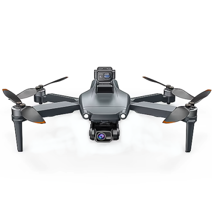
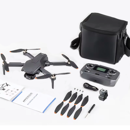
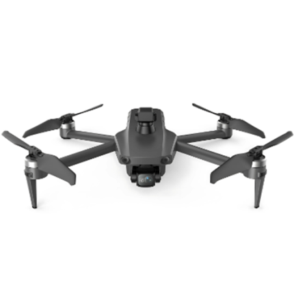
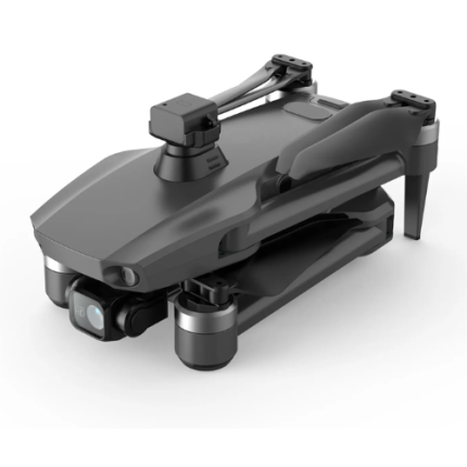
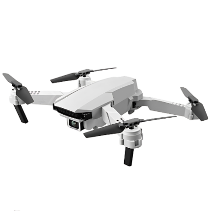
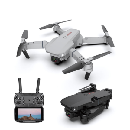
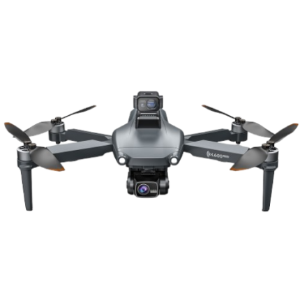
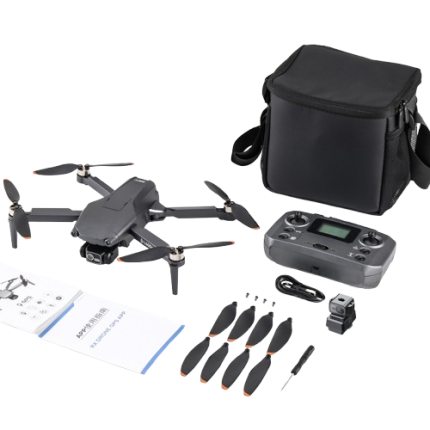
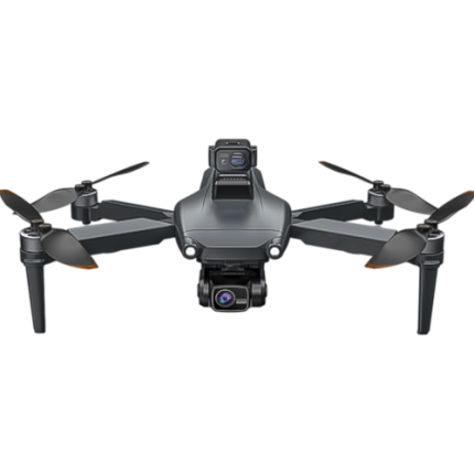
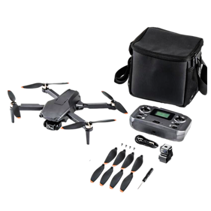
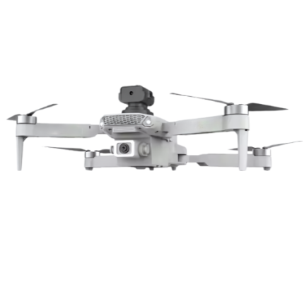
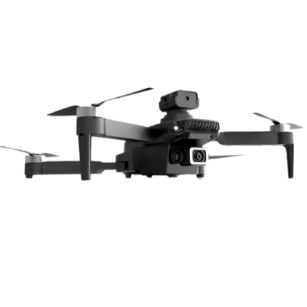
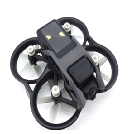
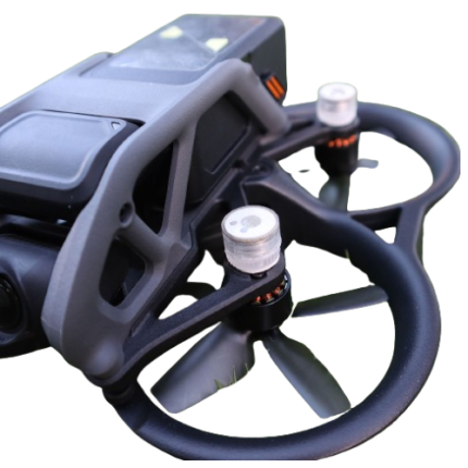
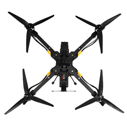
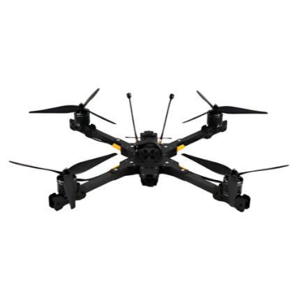
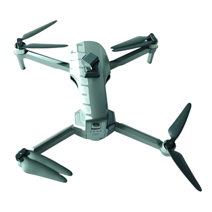
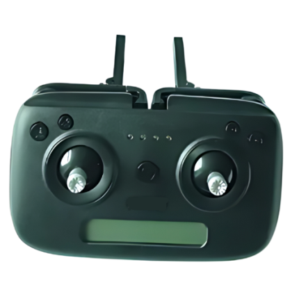
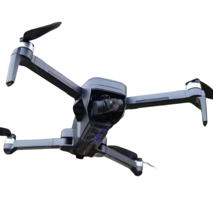
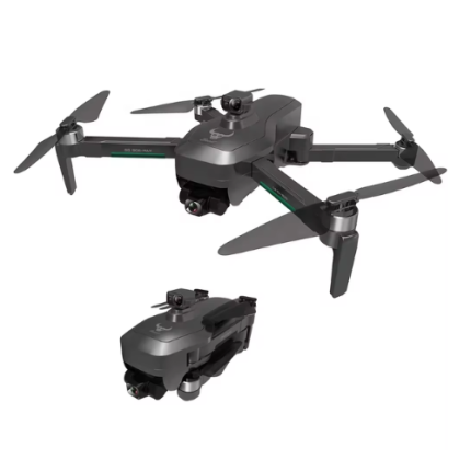
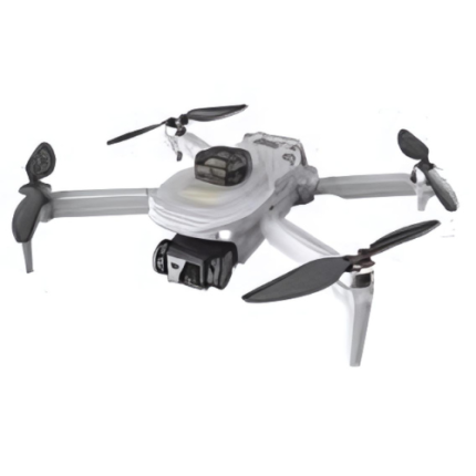
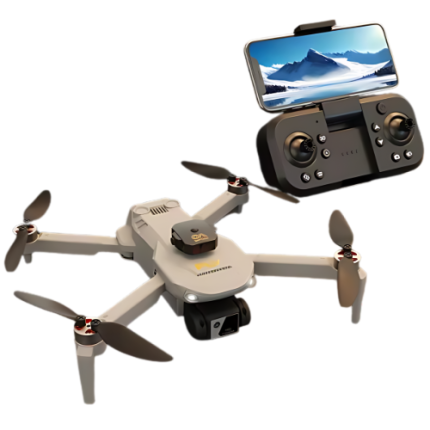
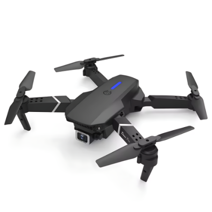
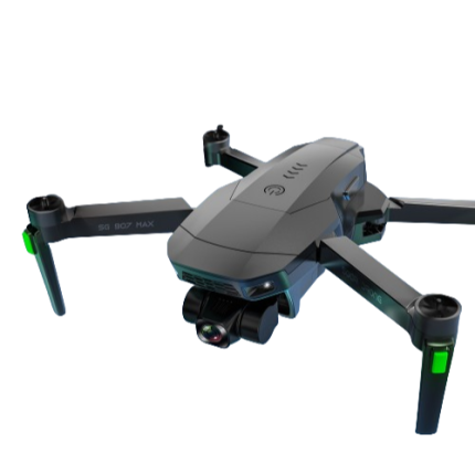
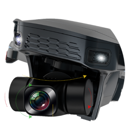
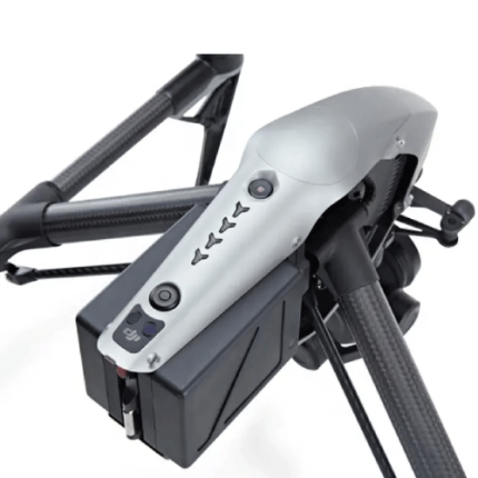
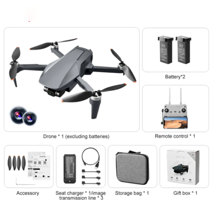
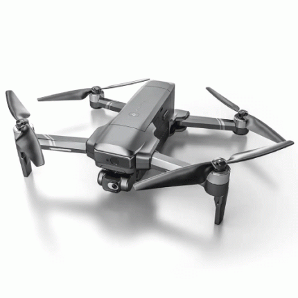
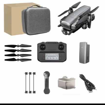
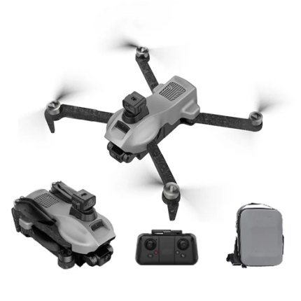
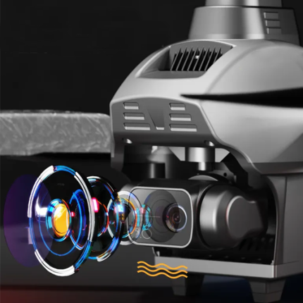
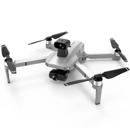
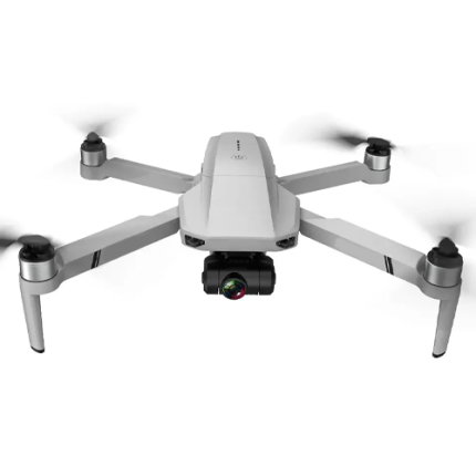
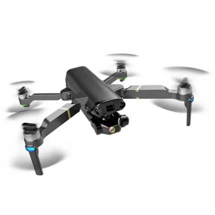
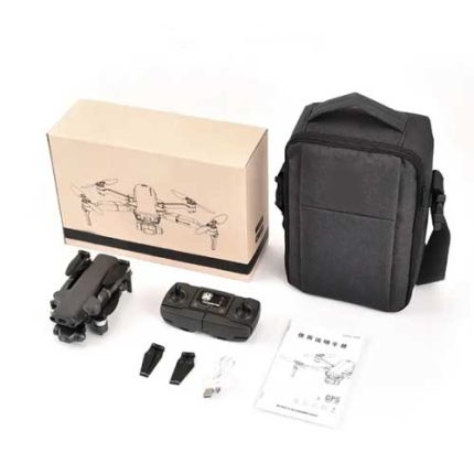
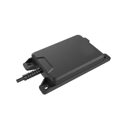
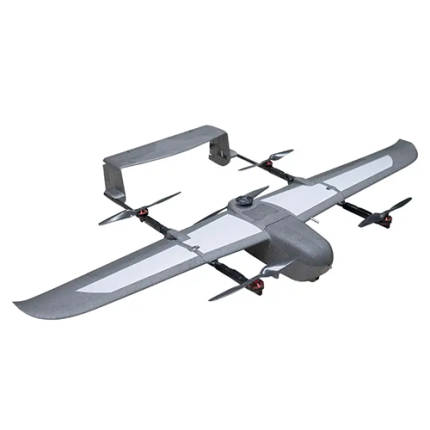
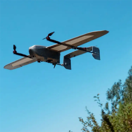
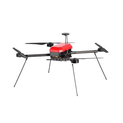
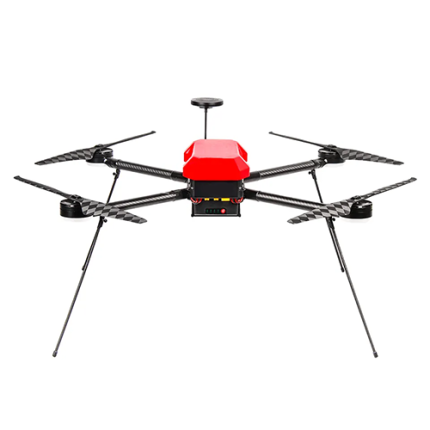
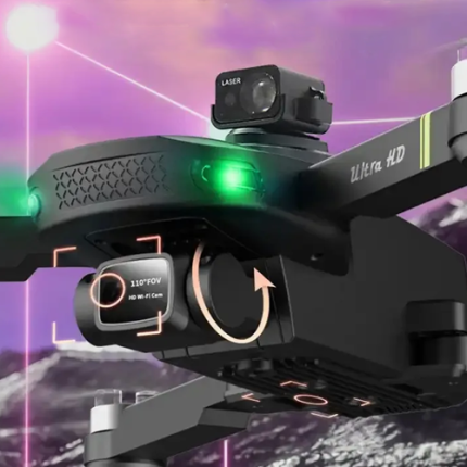
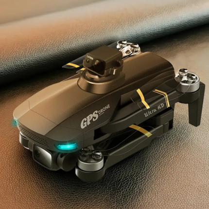
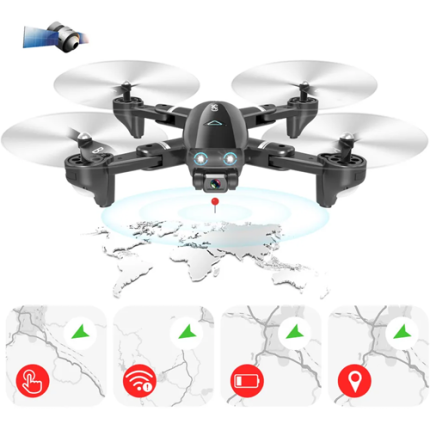
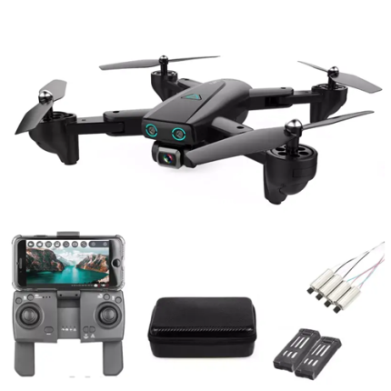
GAO’s Low Altitude Drones, often known as Low – Altitude Small Unmanned Aircraft Systems (sUAS), are specialized aerial vehicles designed for operations below 400 feet above ground level. These drones are equipped with advanced sensors and navigation systems to perform tasks such as aerial photography, surveillance, mapping, and environmental monitoring. Their compact size and agility make them ideal for use in confined or urban areas. Low altitude drones offer precise control and real-time data transmission. They are widely used in industries like agriculture, construction, and public safety, providing critical insights and enhancing operational efficiency. With advancements in battery technology and autonomous capabilities, these drones continue to expand their role in various technical fields.
The Low – Altitude Drone may also be called: Ground-Close Drone, Short-Range, UAV Close-Proximity Drone, Ground-Level Drone, Near-Surface UAV, Low-Flying Drone, Sub-Altitude Drone, and Low-Elevation UAV.
4K Drone with 1km Transmission & Obstacle Avoidance – GAOTek
4K GPS Drone with 40 Min Flight and Obstacle Avoidance – GAOTek
4K HD Camera Foldable Drone 20-Minute Flight One-Key Takeoff – GAOTek
Advanced Stability and Long Flight Time 4K HD Drone – GAOTek
Beginner 4K Drone with 1km Transmission & Obstacle Avoidance – GAOTek
Dual Camera Brushless Motor and Remote-Control Drone – GAOTek
Flash Warning Universal Navigation Drone – GAOTek
Foldable Headless Mode Drone with Adjustable Lens and LED Lights – GAOTek
Foldable Intelligent Obstacle Avoidance Remote Control Drone – GAOTek
Foldable Quadcopter Drone with GPS Navigation – GAOTek
FPV Max Drone with Auto Hover Night Flight Capabilities – GAOTek
GAOTek 7km Control Range With Camera Drone
GAOTek Aerial Brushless High-Definition Mini Digital Image Camera Drone
GAOTek Aerial Photograph Camera Drone
GAOTek Anti-shake Dual WIFI 5G Obstacle Avoidance Brushless Camera Drone
GAOTek Anti-Shake Gimbal Brushless Motor Camera Drone
GAOTek Anti-Shake Quadcopter Camera Drone
GAOTek Autonomous Agricultural Drone
GAOTek Autonomous High-Speed Surveillance Drone
GAOTek Autonomous Long Endurance Drone
GAOTek Avoiding Brushless Drone Motor Quadcopter Professional Camera Drone
GAOTek Beginner Drones Camera Follow Me Drone
GAO’s Low - Altitude Drone is composed of the following components:
- Frame and Structure
- Propulsion System
- Power Supply
- Flight Control System
- Navigation and Positioning Systems
- Communication System
- Sensors
- Payload and Accessories
- Landing Gear
GAO Tek’s Low - Altitude Drone has the following functions:
- Aerial Surveillance and Monitoring: GAO’s Low- altitude drones are extensively used for aerial surveillance and monitoring. They provide real-time video feeds and high-resolution imagery, making them ideal for monitoring large areas, such as construction sites, agricultural fields, and wildlife reserves. Their ability to hover and maneuver in tight spaces allows for detailed inspections and monitoring tasks that are otherwise challenging to perform.
- Agricultural Applications: In agriculture, our low-altitude drones play a crucial role in precision farming. Equipped with multispectral sensors, these drones can assess crop health, identify pest infestations, and monitor soil conditions. This data helps farmers make informed decisions about irrigation, fertilization, and crop management, ultimately increasing yield and reducing resource waste.
- Infrastructure Inspection: Drones are increasingly used for inspecting critical infrastructure such as bridges, power lines, pipelines, and wind turbines. Their ability to fly close to structures enables detailed inspection without the need for scaffolding or cranes. Drones can detect structural damage, corrosion, or other issues that require maintenance, enhancing safety and reducing downtime.
- Search and Rescue Operations: GAO’s Low - altitude drones are valuable assets in search and rescue missions. They can quickly cover large areas, locate missing persons, and deliver essential supplies in hard-to-reach locations. Thermal imaging cameras on drones can detect heat signatures, making it easier to find people in dense forests or disaster-stricken areas.
- Environmental Monitoring: Environmental monitoring is another critical application of low altitude drones. They are used to measure air and water quality, track wildlife populations, and monitor deforestation and habitat destruction. Drones provide a non-invasive means to collect data over large and remote areas, contributing to environmental conservation efforts.
- Mapping and Surveying: GAO Tek Low - altitude drones equipped with LiDAR or photogrammetry technology are used for mapping and surveying applications. They can create high-resolution 3D maps and models of landscapes, construction sites, and urban areas. This data is invaluable for urban planning, mining, and infrastructure development projects.
- Disaster Response and Assessment: In the aftermath of natural disasters such as earthquakes, floods, or hurricanes, low altitude drones provide rapid assessment of the affected areas. They can capture detailed imagery and identify areas of concern, aiding in disaster response and recovery efforts. Drones can also assist in damage assessment for insurance claims.
- Law Enforcement and Security: Law enforcement agencies utilize low altitude drones for surveillance, crowd monitoring, and crime scene investigation. Drones offer a discreet and efficient way to gather intelligence, monitor public events, and track suspects. They are also used for border surveillance and security patrols.
- Delivery Services: The use of drones for delivery services is an emerging application. GAO Tek Low altitude drones can transport small packages and medical supplies to remote or inaccessible locations. This application is particularly useful in healthcare, where timely delivery of medicines or vaccines is critical.
- Entertainment and Media Production: In the entertainment industry, our low altitude drones are used for aerial photography and videography. They provide unique perspectives and dynamic shots that are difficult to achieve with traditional cameras. Drones are widely used in film production, live events, and sports broadcasting.
GAO Tek’s Low - Altitude Drone comply with applicable industry standards such as:
- ASTM F3201
- FAA Part 107
- ICAO Annex 2
- ISO 21384-3
- JARUS (Joint Authorities for Rulemaking on Unmanned Systems)
- RTCA DO-178C/DO-254
- SAE ARP4754A
- EUROCAE ED-12C
- NIST (National Institute of Standards and Technology)
- ANSI/UL 3030
Our Low - Altitude Drone helps our customers comply with relevant U.S. government regulations such as:
- FAA Registration
- Operational Limits
- Visual Line of Sight
- Maximum Altitude
- No Fly Zones
- Night Flying Restrictions
- Remote Pilot Certification
- Equipment Requirements
- Airspace Authorization
- Privacy Concerns
Our Low - Altitude Drone helps our customers comply with relevant Canadian government regulations such as:
- Maximum altitude limit
- Drone registration
- Remote pilot certification
- Visual line-of-sight (VLOS) requirement
- No-fly zones
- Airspace restrictions
- Privacy laws
- Insurance requirements
- Drone maintenance and safety
- Reporting incidents
Our Low - Altitude Drone has the following applications:
- Agriculture and Precision Farming: GAO’s Low-altitude drones are extensively used in agriculture to monitor crop health, assess irrigation needs, and evaluate soil conditions. By flying at lower altitudes, these drones can capture high-resolution images and detailed data on crop health, enabling farmers to make precise interventions. This includes identifying pest infestations, nutrient deficiencies, and water stress with greater accuracy.
- Surveillance and Security: GAO Tek Low - altitude drones are increasingly used for security and surveillance purposes. They can monitor perimeter security in sensitive areas, conduct routine patrols, and detect unauthorized activities. Their proximity to the ground allows for detailed observation and real-time data collection, which is crucial for effective security management.
- Real Estate and Urban Planning: In real estate and urban planning, our low altitude drones offer detailed aerial views of properties and development areas. They can capture high-resolution imagery for virtual tours, site assessments, and planning evaluations. Their ability to fly close to buildings and landscapes provides a more comprehensive perspective than traditional methods.
- Construction Site Management: On construction sites, our low altitude drones are used to monitor progress, inspect work quality, and ensure compliance with safety standards. They can capture detailed imagery of ongoing construction work, track project milestones, and identify potential issues early, facilitating better project management and decision-making.
Below are our resource pages containing useful information on Low-Altitude Drones:
FAQs on Low - Altitude Drones on GAOTek.com
How to Choose a Low - Altitude Drone
Components of a Low - Altitude Drone
Operation, Maintenance & Calibration of a Low - Altitude Drone
Customers in the U.S. and Canada of Low - Altitude Drones
Our Low - Altitude Drones are in stock, can be shipped overnight within the continental U.S. and Canada from a nearby warehouse in the U.S. or Canada, and can be shipped globally.
We provide 24/7 support. If you have any questions, our technical experts can help you. Please fill out this form or email us.

