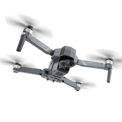
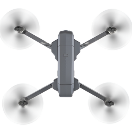
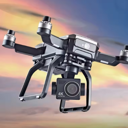
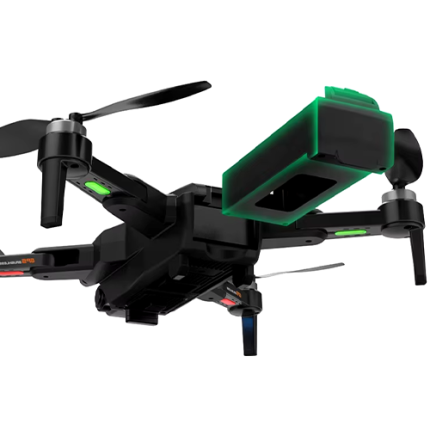
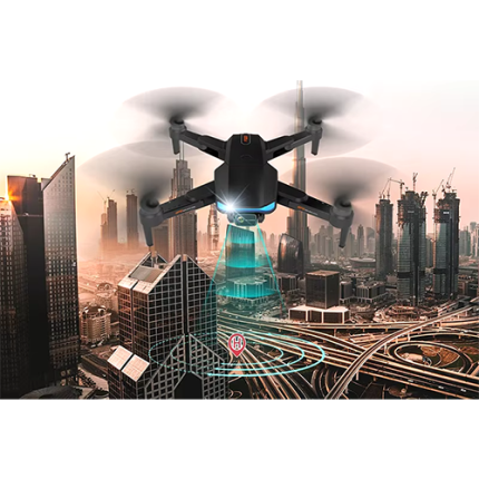
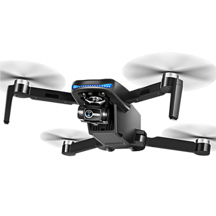
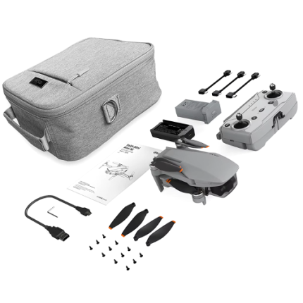
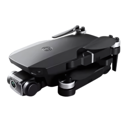
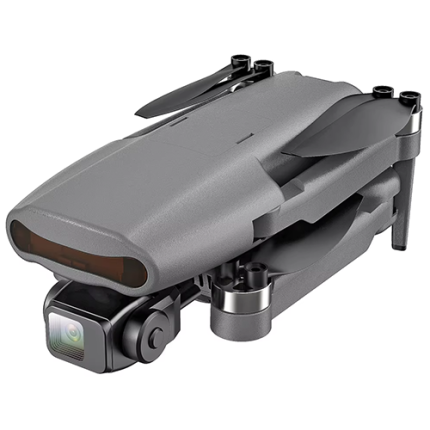
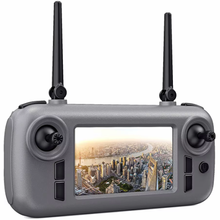
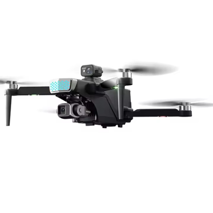
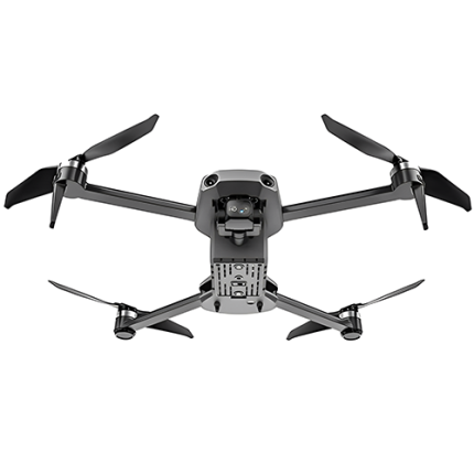
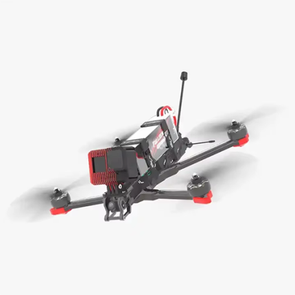
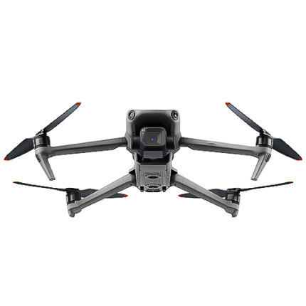
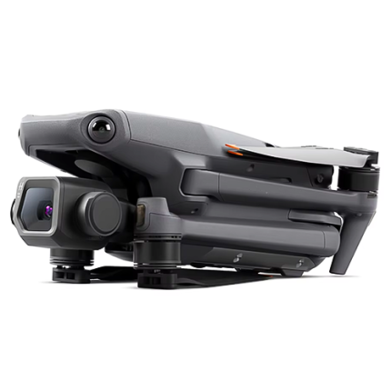
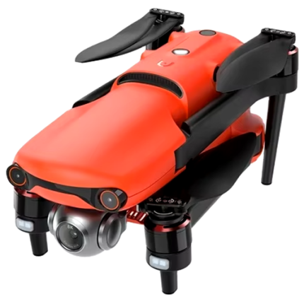
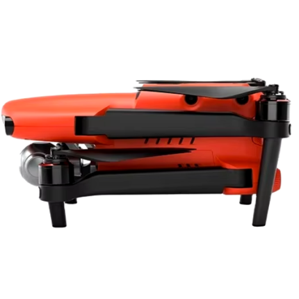
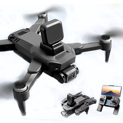
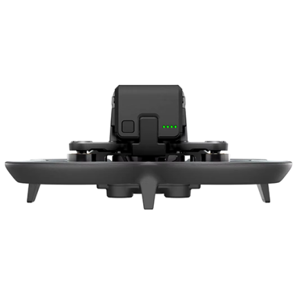
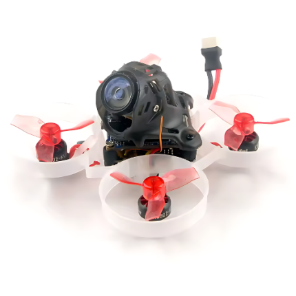
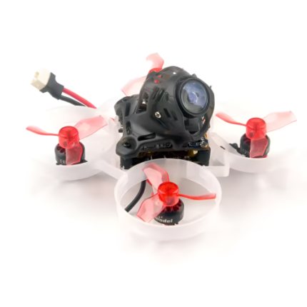
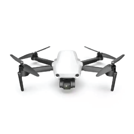
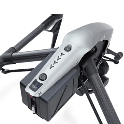
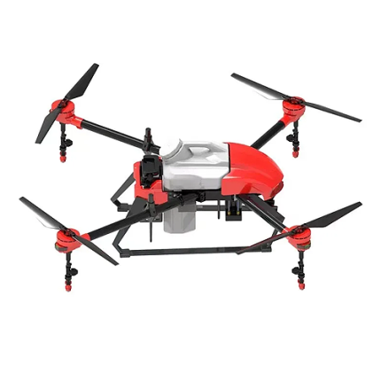
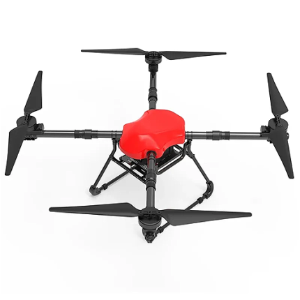
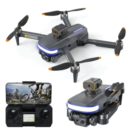
GAO’s Manual Control Drones are unmanned aerial vehicles (UAVs) operated directly by a pilot using a remote-control system. Unlike autonomous drones that follow pre-set flight paths or utilize GPS navigation, manual control drones require real-time input from the operator. These drones are equipped with a transmitter and receiver system, allowing the pilot to adjust flight parameters such as altitude, orientation, and speed through joysticks and control switches. Manual control drones offer greater flexibility and precision in dynamic environments, making them ideal for tasks that demand responsive handling and immediate adjustments, such as aerial photography, search and rescue missions, or real-time surveillance. The manual operation demands skillful piloting to ensure effective control and stable flight.
The Manual Control Drone may also be called: Remote-Controlled (RC) Drones, Pilot-Controlled Drones, Hand-Controlled Drones, Operator-Controlled Drones, Manually Flown Drones, Traditionally Controlled Drones, User-Piloted Drones, and Controller-Based Drones
4 K HD Camera Drone With Foldable Design And Stable Flight – GAOTek
4K Drone GPS HD 5G Wi-Fi Brushless drone – GAOTek
6K Beginner Drone with GPS, 28 Min Battery, and 1 km Range – GAOTek
8K Foldable Drone with 3 Axis Gimbal and Long Flight Time – GAOTek
8K Mini Prosumer Drone with GPS, 27 Min Flight, 3 km FPV – GAOTek
Aerial High-Definition Quadcopter With Camera & Intelligent RC – GAOTek
Beginner Drone with 300 m Range, 20 Min Flight & Remote Control – GAOTek
Brushless GPS Positioning, Precise Aerial Navigation Drone – GAOTek
Brushless Turbo RC Drone with 4K Camera and Advanced Stability – GAOTek
Carbon Fiber FPV Drone with 10 km Range & 20 Min Flight – GAOTek
Classic Aerial Drone for Dynamic Filmmaking – GAOTek
Compact 2.4G RC Quadcopter with Optional Camera – GAOTek
Drone with 8K Camera 30 Min Flight 1.2 Obstacle Avoidance – GAOTek
Drone with Sprayer Function for Surveillance Operations – GAOTek
Dual Camera Quadcopter for Aerial Adventures – GAOTek
Expert Commercial Drone with 10 km Range & High Wind Resistance – GAOTek
Flight Controller FPV Integrated Compact Durable Customizable – GAOTek
Foldable Mini Headless Mode Semi-Autonomous Photography Drone – GAOTek
FPV Semi-Autonomous Drone with GPS positioning Function – GAOTek
GAOTek 3-Axis Gimbal GPS Drone
GAOTek 7km Control Range With Camera Drone
GaoTek Agriculture Drone
GAOTek Avoidance Resistance Optical Flow GPS Drone
GAO’s Manual Control Drone is composed of the following components:
- Frame
- Motors
- Propellers
- Flight Controller
- Electronic Speed Controllers (ESCs)
- Battery
- Transmitter (Remote Control)
- Receiver
- GPS Module (optional)
- Camera (optional)
- Antennas
- Landing Gear
GAO Tek’s Manual Control Drone has the following functions:
- Aerial Photography and Videography: GAO’s manual control drones are widely used to capture high-quality images and video from unique perspectives. Operators can adjust the camera angle and flight path in real time to achieve desired shots.
- Inspection and Surveillance: These drones are employed for detailed inspections of infrastructure, such as power lines, bridges, and buildings. They provide live video feeds and allow for precise maneuvering around complex structures.
- Search and Rescue Operations: GAO Tek manual control drones assist in locating missing persons and assessing disaster areas. Operators can navigate the drone through challenging environments to provide situational awareness and aid in rescue efforts.
- Agricultural Monitoring: In agriculture, our manual control drones are used for surveying crops, assessing field conditions, and identifying issues such as pest infestations or irrigation problems. Operators can adjust flight patterns to cover specific areas.
- Recreational Use: Enthusiasts use manual control drones for recreational flying and racing. These drones offer a hands-on experience and allow users to practice their piloting skills in various environments.
- Training and Simulation: They are used in training programs to teach drone pilot skills and familiarize operators with control systems. This practical experience helps users learn how to manage drone dynamics and navigation.
- Environmental Monitoring: Our manual control drones can be employed for monitoring environmental conditions, such as wildlife surveys or assessing natural landscapes. Operators can navigate the drone to gather data in specific locations.
- Event Coverage: At events and gatherings, these drones capture dynamic footage and provide live streaming capabilities. Operators can maneuver the drone to follow specific subjects or capture broad aerial views of the event.
- Mapping and Surveying: GAO’s manual control drones are used to create detailed maps and surveys of various terrains. Operators can adjust flight paths and camera angles to collect comprehensive data for analysis.
GAO Tek’s Manual Control Drone comply with applicable industry standards such as:
- FAA Regulations
- EASA Regulations
- ISO 9001
- RTCA DO-178C
- RTCA DO-254
- IEEE 802.11
- ANSI Standards
- CE Marking
- RoHS
Our Manual Control Drone helps our customers comply with relevant U.S. government regulations such as:
- FAA Part 107
- FAA Part 91
- National Defense Authorization Act (NDAA)
- Privacy Laws
- Remote Identification Rule
Our Manual Control Drone helps our customers comply with relevant Canadian government regulations such as:
- CARs Part IX
- Transport Canada’s Drone Safety Guidelines
- CRTC Regulations
- Privacy Laws
Our Manual Control Drone has the following applications:
- Inspection and Maintenance: Industries such as construction, oil and gas, and utilities utilize manual control drones for inspecting infrastructure. Drones can safely and efficiently inspect hard-to-reach areas like the tops of buildings, wind turbines, pipelines, and power lines. The real-time feedback provided by manual control enables pilots to thoroughly investigate and address issues on the spot, ensuring maintenance accuracy and safety.
- Agricultural Monitoring: In agriculture, our manual control drones are used for monitoring crops, livestock, and soil conditions. Farmers can manually navigate drones to specific areas of interest, assess crop health, check for pest infestations, and even monitor irrigation systems. Immediate control allows for precise application of fertilizers and pesticides, enhancing productivity and sustainability.
- Emergency Response and Search & Rescue: GAO’s manual control drones play a critical role in emergency response scenarios. They provide first responders with a bird's-eye view of disaster zones, allowing for quick assessment and strategic planning. In search and rescue operations, drones equipped with thermal imaging can locate missing persons in difficult terrain or adverse conditions. The ability to manually navigate and hover over specific areas enhances these missions' effectiveness.
- Environmental Monitoring and Conservation: Environmental scientists and conservationists employ manual control drones to monitor wildlife, track changes in ecosystems, and survey protected areas. Drones can capture data on animal populations, deforestation, and pollution levels. The manual control aspect allows operators to follow wildlife in real-time, minimizing disturbance while collecting crucial data.
- Entertainment and Sports: In the entertainment industry, drones are used for live broadcasting of sports events, concerts, and other public gatherings. They offer unique perspectives that enhance the viewing experience. Manual control ensures that the drone can follow fast-moving subjects accurately and capture dynamic movements, which is essential for live coverage.
- Military and Defense: Military applications of manual control drones include reconnaissance, surveillance, and tactical operations. Drones provide real-time intelligence, allowing for quick decision-making and precise execution of missions. The manual control aspect is crucial in combat scenarios where adaptability and immediate response are required.
- Scientific Research: Researchers use manual control drones to gather data in various scientific fields, including geology, meteorology, and oceanography. Drones can collect samples, take measurements, and provide aerial surveys in remote or hazardous locations. The ability to manually control the drone ensures accurate positioning and data collection, which is vital for scientific accuracy.
Below are our resource pages containing useful information on Manual Control Drones:
FAQs on Manual Control Drones on GAOTek.com
How to Choose a Manual Control Drone
Components of a Manual Control Drone
Operation, Maintenance & Calibration of a Manual Control Drone
Our Manual Control Drones are in stock and can be shipped overnight within the continental U.S. and Canada from a nearby warehouse in the U.S. or Canada. They can also be shipped globally.
We provide 24/7 support. If you have any questions, our technical experts can help you. Please fill out this form or email us.

