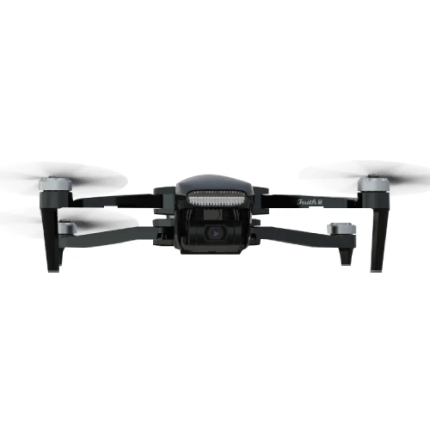
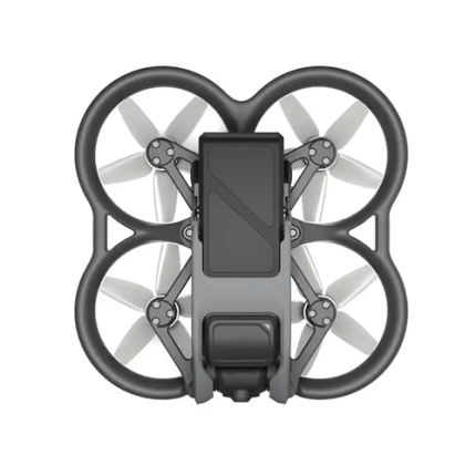
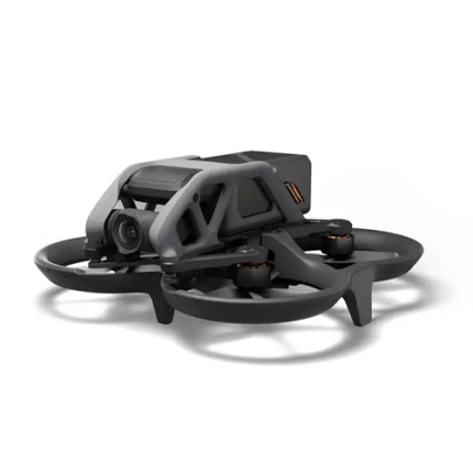
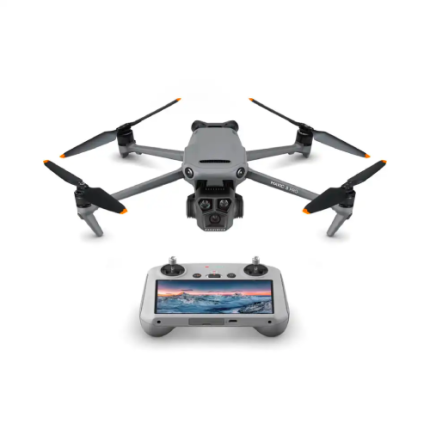
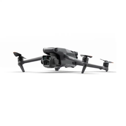
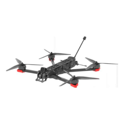
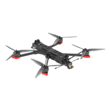
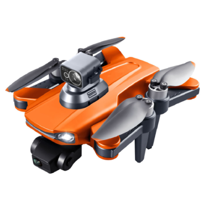
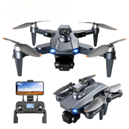
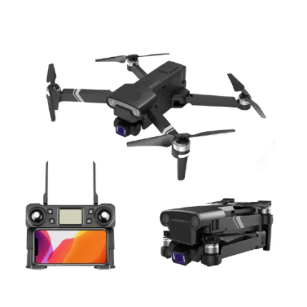
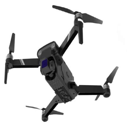
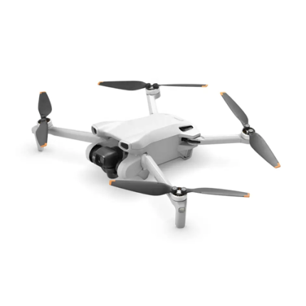
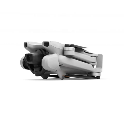
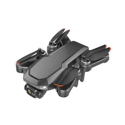
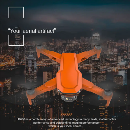
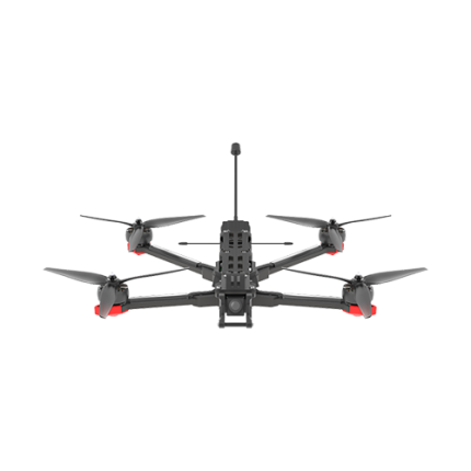
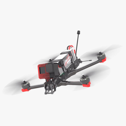
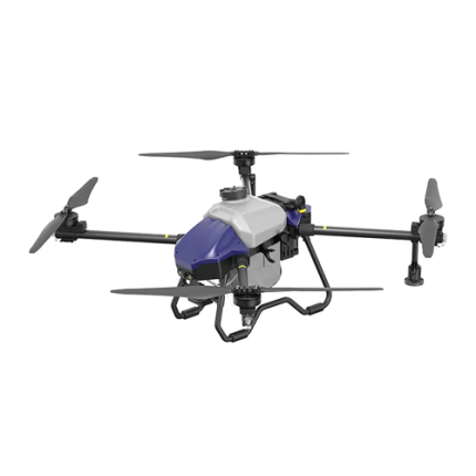
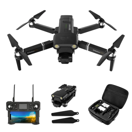
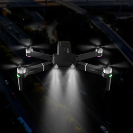
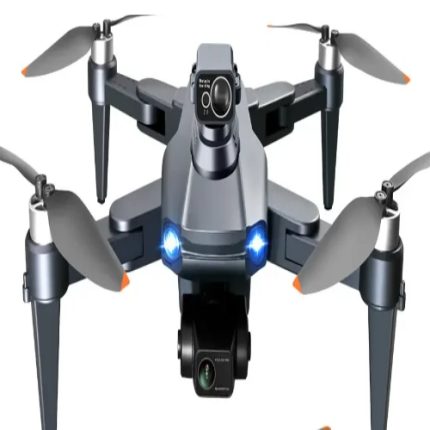
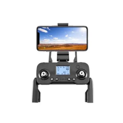
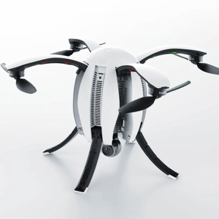
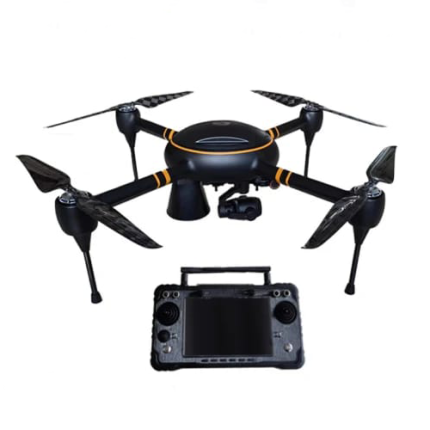
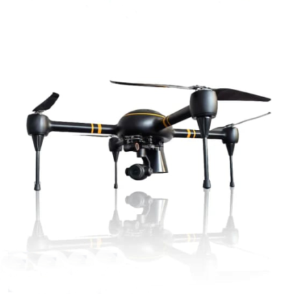
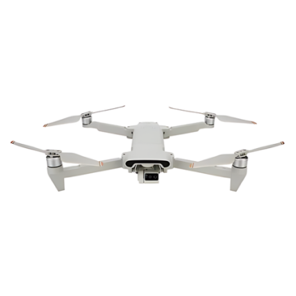
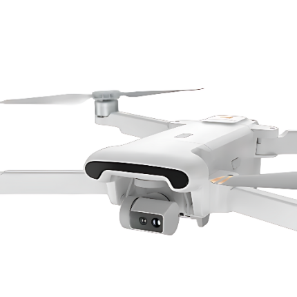
GAO’s Medium Altitude Drone, often referred to as a Medium Altitude Long Endurance (MALE) drone, is an unmanned aerial vehicle (UAV) designed to operate at altitudes ranging from 10,000 to 30,000 feet. These drones are equipped with advanced sensors and communication systems, allowing for extended missions that can last from several hours to over a day. They are commonly used for intelligence, surveillance, reconnaissance (ISR), and military applications, providing real-time data and situational awareness. MALE drones can cover vast areas, making them invaluable for border patrol, disaster management, and environmental monitoring. Their design prioritizes endurance, stability, and payload capacity, ensuring reliable performance in various operational scenarios.
The Medium – Altitude Drone may also be called: Medium Altitude UAV, Medium Altitude Long Endurance (MALE) UAV, Medium Altitude Aerial Vehicle, MALE Drone, Medium Range UAV, Mid-Altitude Drone, Medium Altitude Reconnaissance Drone, Intermediate Altitude UAV, Medium Altitude Surveillance Drone, Medium Altitude Observation UAV
GAOTek Drone Professional Long Range Dual Camera Quadcopter Folding
GAOTek Foldable Fly Smart Combo FPV Drone
GAOTek FPV Drone
GAOTek FPV Drone
GAOTek FPV Quadcopter Long Range Drone
GAOTek GPS Drone with Camera Remote
GAOTek GPS Long Range Drone
GAOTek GPS Position Intelligent Obstacle Avoidance Drone
GAOTek Height Image Transmission Traversal Drone FPV Drone
GAOTek Long Endurance Thermal Imaging Drones
GAOTek Long-range Sparrow Drone
GAOTek Outdoor 8k Professional Brushless Racing Drone
GAOTek Selfie With HD Camera Foldable Drone
GAOtek-Road Inspection FPV Drone
Medium Range Premier Services Photography Drone-GAOTek
GAO’s Medium-Altitude Drone is composed of the following components:
- Frame
- Flight Controller: Motors and Propellers
- Battery
- Communication System
- Modular Payload Interface
- Gimbals and Stabilizers
- Navigation and Sensors
- Onboard Computer
- Landing Gear
GAO Tek’s Medium-Altitude Drone has the following functions:
- Surveillance and Reconnaissance: GAO Tek medium altitude drones are extensively used for surveillance and reconnaissance missions. Equipped with high-resolution cameras and sensors, they provide real-time imagery and data for tactical operations, border security, and intelligence gathering.
- Monitoring and Inspection: They are employed to monitor large areas and inspect infrastructure such as power lines, pipelines, and communication towers. Their altitude allows them to capture detailed views while maintaining a safe distance.
- Search and Rescue: In disaster scenarios, these drones are invaluable for locating survivors and assessing damage. Their ability to cover wide areas and transmit real-time data enhances search and rescue operations.
- Environmental Monitoring: They track environmental changes, such as deforestation, wildlife migration, and climate impact. This data supports conservation efforts and helps in assessing ecological health.
- Agricultural Management: GAO’s medium altitude drones assist in precision agriculture by monitoring crop health, soil conditions, and irrigation needs. They provide data that helps in optimizing resource use and improving yield.
- Military Operations: In military contexts, they are used for strategic reconnaissance, target acquisition, and battlefield management. Their endurance and ability to operate at medium altitudes make them suitable for extended missions.
- Disaster Response: These drones aid in assessing the impact of natural disasters like floods, earthquakes, and hurricanes. They provide critical information for emergency response and recovery efforts.
- Border Patrol: They are deployed for border surveillance, detecting illegal activities and monitoring vast and often remote border areas efficiently.
- Infrastructure Security: They provide security for critical infrastructure by monitoring and detecting potential threats or unauthorized activities around facilities like airports, ports, and power plants.
- Communications Relay: In areas with limited connectivity, these drones can act as mobile communication relays, enhancing connectivity and data transmission capabilities.
GAO Tek’s Medium - Altitude Drone comply with applicable industry standards such as:
- Iso 9001
- Iso 14001
- Iso/iec 27001
- Rtca do-178c
- Rtca do-254
- Mil-std-810
- Mil-std-461
- EU regulation 2019/945
- FAA part 107ICAO annex 2
Our Medium - Altitude Drone helps our customers comply with relevant U.S. government regulations such as:
- FAA part 107
- FAA part 91
- FAA part 21
- FAA part 135
- 14 cfr § 11.201
- FAA advisory circulars (acs)
- Homeland security presidential directive-12 (HSPD-12)
- Federal aviation administration reauthorization act of 2018
- National defense authorization act (NDAA)
- Privacy laws and regulations
Our Medium - Altitude Drone helps our customers comply with relevant Canadian government regulations such as:
- Canadian aviation regulations (cars) part IX
- Transport Canada civil aviation (TCCA) guidelines
- Regulation SOR/2019-285: remotely piloted aircraft systems (RPAS) regulations
- Air navigation service regulations
- Aeronautics act
- Canadian national security and intelligence regulations
- Canadian privacy act
- Canadian environmental assessment act
Our Medium - Altitude Drone has the following applications:
- Surveillance and Reconnaissance: Used for gathering real-time intelligence and monitoring large areas for security or military purposes. They provide high-resolution imagery and data from a stable mid-altitude vantage point.
- Infrastructure Inspection: Ideal for inspecting critical infrastructure such as bridges, power lines, and pipelines. They can cover extensive areas and provide detailed visuals to identify potential issues.
- Environmental Monitoring: Employed to monitor environmental changes, such as deforestation, wildlife migration, and pollution levels. They help in assessing and managing natural resources and ecological impacts.
- Search and Rescue Operations: Utilized in locating missing persons and assessing disaster-affected areas. Their ability to cover large areas and operate in challenging conditions aids in effective search and rescue efforts.
- Agricultural Management: Assists in precision agriculture by monitoring crop health, soil conditions, and irrigation systems. This data supports optimized farming practices and resource management.
- Military and Defense: Used for strategic reconnaissance, target acquisition, and tactical operations. They enhance battlefield awareness and provide critical operational intelligence.
- Disaster Response: Helps in evaluating the impact of natural disasters, such as hurricanes, earthquakes, and floods. They support emergency response teams by providing real-time data on affected areas.
- Border and Coastline Patrol: Employed for monitoring and securing borders and coastlines. They detect unauthorized activities and enhance surveillance capabilities over vast and often remote regions.
- Urban Planning and Development: Used to survey and map urban areas for planning and development projects. They provide detailed aerial views for better decision-making in city planning and infrastructure development.
- Scientific Research: Facilitates various scientific studies, including climate research, geological surveys, and atmospheric measurements. Their versatility and data collection capabilities support advanced research initiatives.
Below are our resource pages containing useful information on Medium - Altitude Drone:
How to Choose a Medium-Altitude Drone
Components of a Medium - Altitude Drone
Operation, Maintenance & Calibration of a Medium - Altitude Drone
Customers in the U.S. and Canada of Medium - Altitude Drones
Our Medium – Altitude Drones are in stock, can be shipped overnight within the continental U.S. and Canada from a nearby warehouse in the U.S. or Canada, and can be shipped globally.
We provide 24/7 support. If you have any questions, our technical experts can help you. Please fill out this form or email us.

