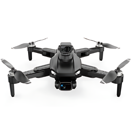
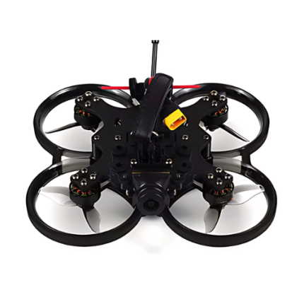
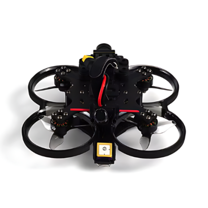
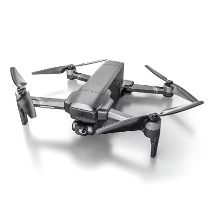
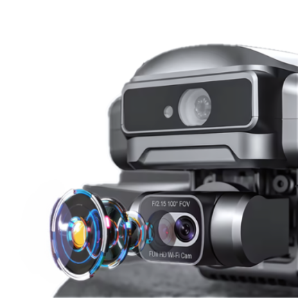
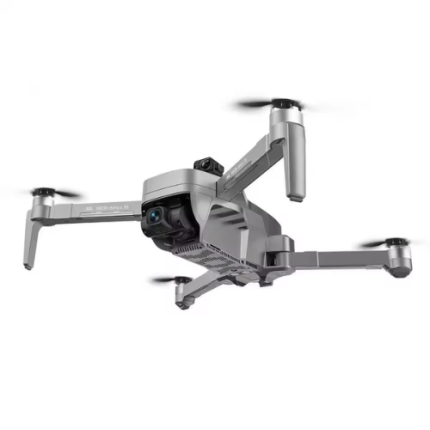
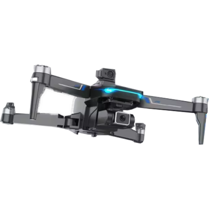
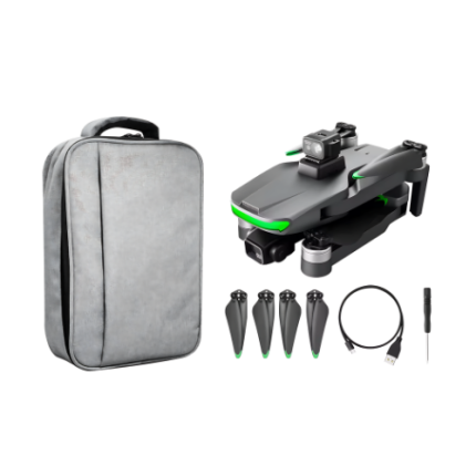
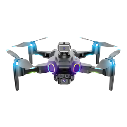
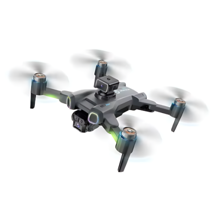
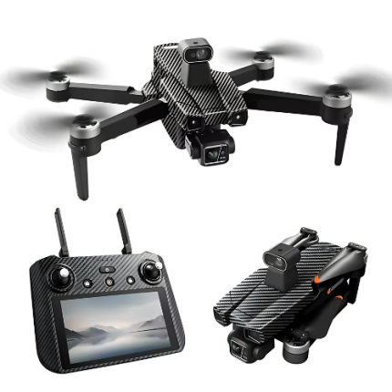
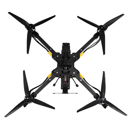
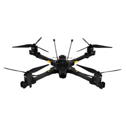
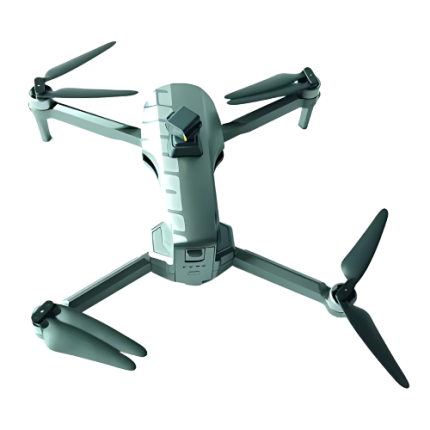
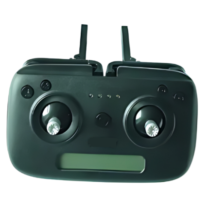
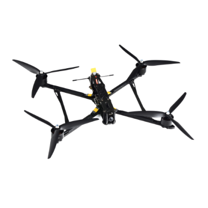
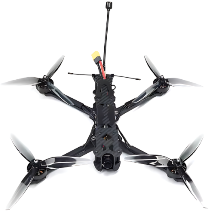
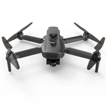
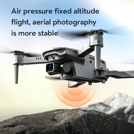
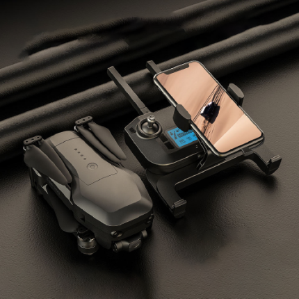
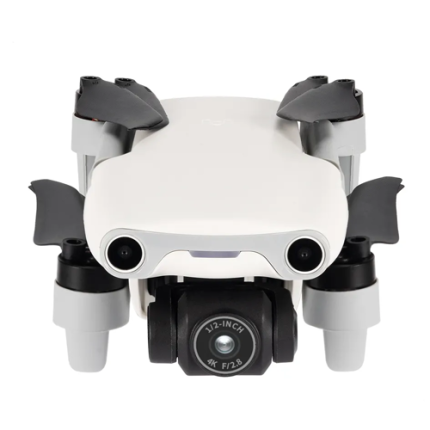
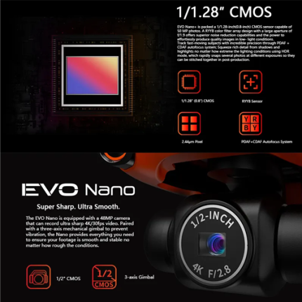
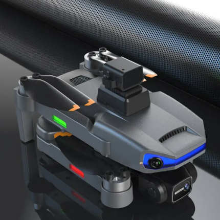
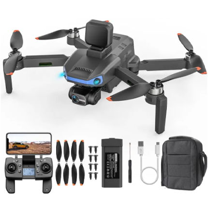
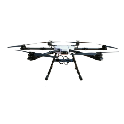
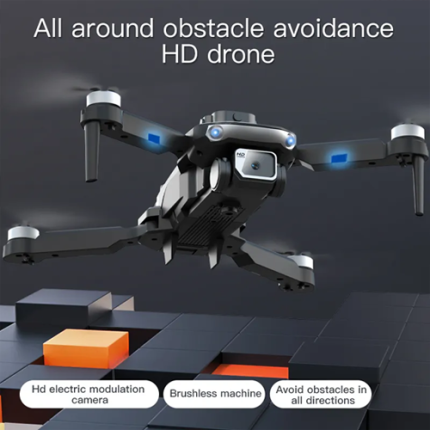
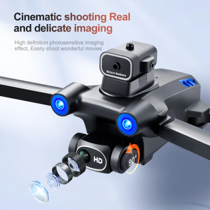
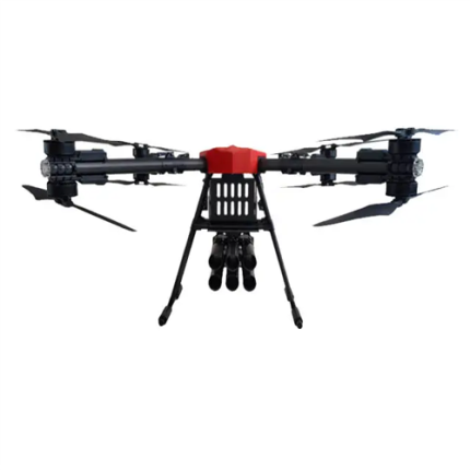
GAO’s Vision-Based Navigation Drone utilizes advanced imaging systems, such as high-resolution cameras and real-time video processing algorithms, to autonomously navigate and interact with its environment. Unlike traditional GPS-based drones, these systems rely on visual data to map surroundings, detect obstacles, and follow pre-defined paths. The drone’s onboard processing unit interprets the visual input to make decisions, such as avoiding obstacles, maintaining stability, and adjusting flight paths. This technology allows for precise maneuvering in GPS-denied environments, such as indoor spaces or urban canyons, where traditional navigation systems might falter. Key components include computer vision algorithms, depth perception sensors, and high-performance processors, which together enable robust, reliable navigation and enhanced situational awareness.
The Vision-Based Navigation Drones may also be called: Camera-guided Drones, Visual Navigation Drones, Image-Based Navigation Drones, Optical Navigation Drones, Vision-guided UAVs (Unmanned Aerial Vehicles), Sight-based Drones, Visual Detection Drones, Vision-assisted Drones, Visual Sensing UAVs, and Imaging Navigation Drones
GAO’s Vision-Based Navigation Drone is composed of the following components:
- High-Resolution Cameras
- Depth Sensors
- Image Processing Unit
- Navigation Algorithms
- Inertial Measurement Unit (IMU)
- Flight Controller
- Communication Systems
- Power Supply
GAO Tek’s Vision-Based Navigation Drone has the following functions:
- Obstacle Detection and Avoidance: Vision-based drones are equipped with cameras and image processing algorithms that allow them to detect and avoid obstacles in real-time. This capability is crucial for safe navigation in complex environments where traditional sensors might be less effective.
- SLAM (Simultaneous Localization and Mapping): These drones use visual data to simultaneously map their surroundings and determine their location within that map. SLAM algorithms help in creating accurate 3D models of the environment, which is essential for tasks like autonomous exploration and navigation.
- Visual Odometer: This function involves estimating the drone's motion by analyzing the changes in the visual features of the environment between consecutive frames. A visual odometer provides valuable information about the drone's speed and direction, aiding in precise navigation.
- Target Tracking and Following: Vision-based drones can track and follow moving objects or predefined targets by continuously analyzing visual input. This is particularly useful in applications such as surveillance, search and rescue, and autonomous delivery.
- Path Planning: Utilizing visual input, these drones can plan optimal paths by analyzing the layout of the environment. Path planning algorithms consider various factors like obstacles, terrain, and dynamic elements to ensure efficient and safe navigation.
- Environmental Understanding: GAO’s vision-based navigation drones allow people to interpret and understand their environment in a more sophisticated manner compared to traditional sensors. This includes recognizing landmarks, distinguishing between different types of surfaces, and adapting to changing conditions.
- Autonomous Landing and Takeoff: By analyzing visual cues from the landing area, drones can autonomously perform landing and takeoff maneuvers. This capability is particularly useful in confined spaces or when precision is required.
- Enhanced Situational Awareness: The integration of computer vision provides drones with enhanced situational awareness. This includes the ability to identify and react to dynamic changes in the environment, such as moving obstacles or varying lighting conditions.
GAO Tek’s Vision-Based Navigation Drone comply with applicable industry standards such as:
- FAA Regulations (U.S.) - Part 107
- EASA Regulations (EU)
- ISO 21384-3 - UAS performance and safety
- ISO/IEC 27001 - Information security management
- RTCA DO-178C - Software safety and reliability
- MIL-STD-810 - Environmental and durability testing
- IEEE 802.11 - Communication protocols
- IEEE 1728 - Public safety applications
- CE Marking (EU) - Safety, health, and environmental requirements
- Radio Frequency (RF) Standards - FCC or regional equivalent
Our Vision-Based Navigation Drone helps our customers comply with relevant U.S. government regulations such as:
- FAA Remote ID
- FAA BVLOS Operations
- FAA TFRs
- UAS Privacy Laws
- FCC Regulations
- NIST Standards
Our Vision-Based Navigation Drone helps our customers comply with relevant Canadian government regulations such as:
- Transport Canada’s Part IX - Remotely Piloted Aircraft Systems (RPAS) Regulations
- Canadian Aviation Regulations (CARs)
- Canadian Remote Identification Regulations
- Canadian Privacy Laws
- NO-FLY Zones and Restricted Airspace
- Radio Frequency (RF) Regulations by Innovation, Science and Economic Development Canada (ISED)
- Safety Management Systems (SMS) for operators
Our Vision-Based Navigation Drone has the following applications:
- Industrial Inspection: These drones are used for inspecting infrastructure such as bridges, pipelines, and power lines. Vision-based systems can detect defects, corrosion, and other anomalies with high precision.
- Agriculture: In precision agriculture, vision-based drones monitor crop health, assess soil conditions, and manage irrigation. They can identify issues like pest infestations and nutrient deficiencies through detailed imagery.
- Search and Rescue: Vision-based drones assist in search and rescue operations by providing real-time visual data in challenging terrains. They can locate missing persons and assess disaster areas more effectively than traditional methods.
- Construction Monitoring: These drones are employed for site surveys, progress tracking, and quality control in construction projects. They provide high-resolution images and 3D models for accurate planning and oversight.
- Environmental Monitoring: These vision-based drones monitor environmental changes, such as deforestation, wildlife activity, and pollution levels. They provide valuable data for conservation efforts and environmental impact assessments.
- Traffic Management: Drones equipped with vision-based systems are used for monitoring and managing traffic flow in urban areas. They help in identifying traffic congestion, and accidents, and optimizing traffic signals.
- Surveillance and Security: These drones are used for security and surveillance tasks in both public and private sectors. They provide real-time video feeds for monitoring large areas, detecting intrusions, and supporting law enforcement activities.
- Delivery Services: GAO’s vision-based navigation drones aid in the autonomous delivery of packages. Drones can navigate to specific drop-off points, avoid obstacles, and deliver goods efficiently.
- Film and Photography: In the entertainment industry, vision-based drones capture high-quality aerial footage and photographs. They are used in filmmaking, event coverage, and real estate marketing to provide unique perspectives.
- Infrastructure Mapping: These drones create detailed maps and 3D models of infrastructure and landscapes. They are used for urban planning, land surveying, and geospatial analysis.
- Energy Sector: In the energy sector, vision-based drones inspect and monitor assets such as wind turbines, solar panels, and oil rigs. They help in identifying maintenance needs and ensuring operational efficiency.
- Public Safety: Drones with vision-based navigation are used in public safety applications such as monitoring large gatherings, assessing emergencies, and supporting disaster response teams.
Below are our resource pages containing useful information on Vision-Based Navigation Drones:
FAQs on Vision-Based Navigation Drones on GAOTek.com
How to Choose a Vision-Based Navigation Drone
Components of a Vision-Based Navigation Drone
Operation, Maintenance & Calibration of a Vision-Based Navigation Drone
Customers in the U.S. and Canada of Vision-Based Navigation Drones
Our Vision-Based Navigation Drones are in stock, can be shipped overnight within the continental U.S. and Canada from a nearby warehouse in the U.S. or Canada, and can be shipped globally.
We provide 24/7 support. If you have any questions, our technical experts can help you. Please fill out this form or email us.

