Description
Overview
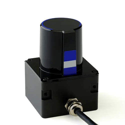
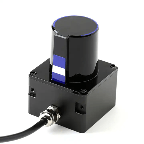
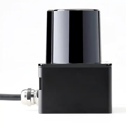
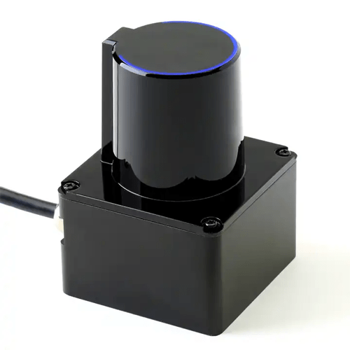
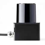
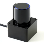
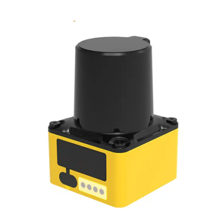
GAOTek drone mapping lidar sensor can be used in various application scenarios such as industrial precise and rapid surveying and mapping, game interaction, assisted positioning, outdoor drones, and AGV obstacle avoidance. Using TOF (Time of Flight) time-of-flight ranging technology to ensure that the radar measurement accuracy will not change with distance changes. When measuring long-distance objects, the measurement accuracy is still accurate and stable. LiDAR can effectively avoid the interference of ambient light and sunlight, realize stable ranging and efficient mapping of indoor and outdoor scenes, and meet the application requirements of larger outdoor scenes.
Features
- Industrial grade lidar scanner
- TOF time-of-flight ranging technology
- Anti-sunlight, can be used indoors and outdoors
- Fully enclosed housing
- High efficiency ranging engine
- Comply with FDA Class 1 laser safety standards
- Network port connection, breaking the distance limit
Technical Specifications
| Measurement | 787.40 in (≥20 m) (70% reflectivity) |
| Data sampling rate | 30 kHz 2 |
| Horizontal field of view | 270° |
| Distance resolution | 0.39 in (1 cm) |
| Power supply | 12 V DC |
| Power consumption | <5 W / peak |
| Scanning frequency | 10Hz |
| Ranging principle | Pulse ToF |
| Laser wavelength | 905 nm |
| Operating temperature | -4 °F to 140 °F (-20 °C to 60 °C) |
| Weight | 0.55 lb (250 g) |

