Description
Overview
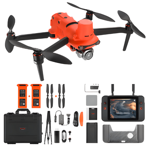
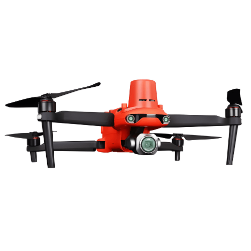
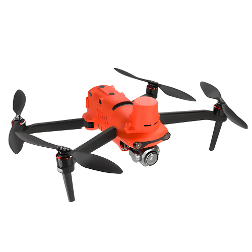
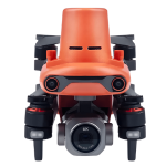
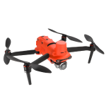
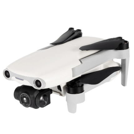
GAOTek digital ultra-sensitive thermal imaging drone integrates an entirely new module, which provides real-time centimeter-level positioning data in three minutes and supports Post-Processing Kinematic (PPK). The aircraft can record the original satellite observation data, camera exposure parameters and more. The positioning system supports base station which helps to achieve accurate and stable data acquisition in complex operation environments.
Technical Specifications
| Control Type | Remote control |
| Image Transmission Distance | 15 m |
| Max Flight Time | 38 mins |
| Power | Battery |
| Image Capture Resolution | 640 x 512 high-resolution thermal imaging |
| Controller Display Screen | 2048 x 1536 60 fps |
| Battery | 7100 mAh |
| Max Hover Time | 33 min |
| First Positioning Time | < 50 s |
| Takeoff Weight | 43.63 lb (1237 g) |

