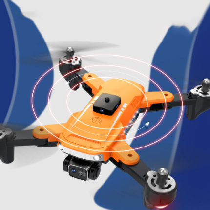
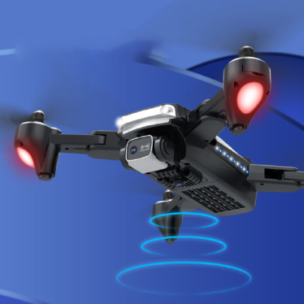
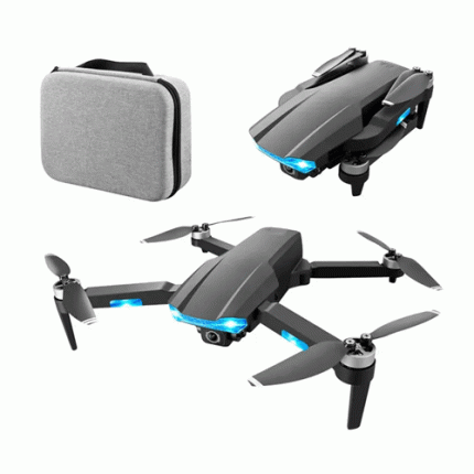
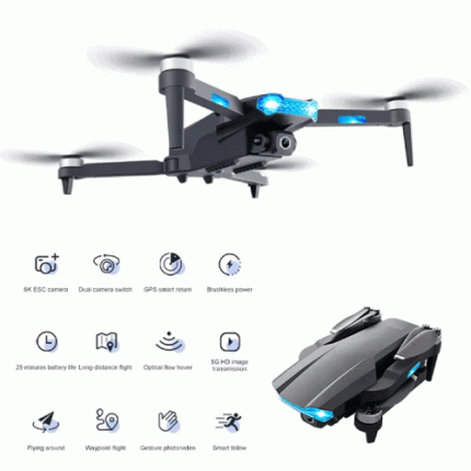
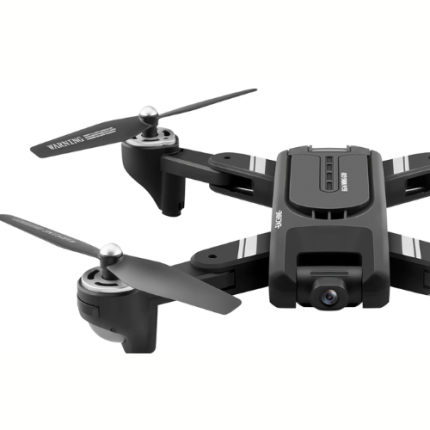
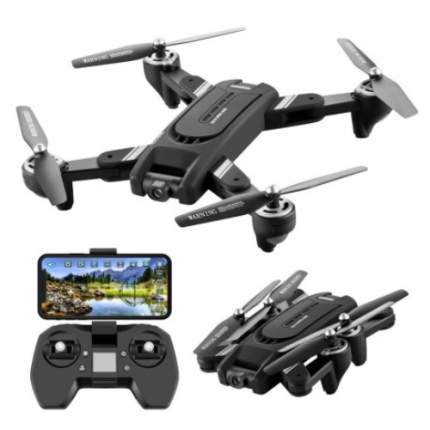
GAO’s Long-Range Drones are advanced unmanned aerial vehicles (UAVs) designed for extended flight durations and distances, often exceeding several hundred miles. These drones are equipped with high-capacity batteries or fuel-efficient engines, advanced navigation systems, and sophisticated communication technologies to ensure reliable operation over vast areas. They are utilized in various applications, including surveillance, environmental monitoring, disaster response, and delivery services. Long-range drones often feature autonomous flight capabilities, enabling them to perform missions with minimal human intervention. Their design prioritizes aerodynamic efficiency, payload capacity, and endurance, making them invaluable tools in both civilian and military contexts. As technology advances, the capabilities of long-range drones continue to expand, offering new possibilities for remote operations and data collection.
The Long-Range Drones may also be called: Long-endurance drones, extended-range UAVS (unmanned aerial vehicles), long-range UAVS long-distance drones, extended-range drones, high-endurance drones, long-haul drones, extended flight drones, long-range aerial systems and long-endurance aerial vehicles.
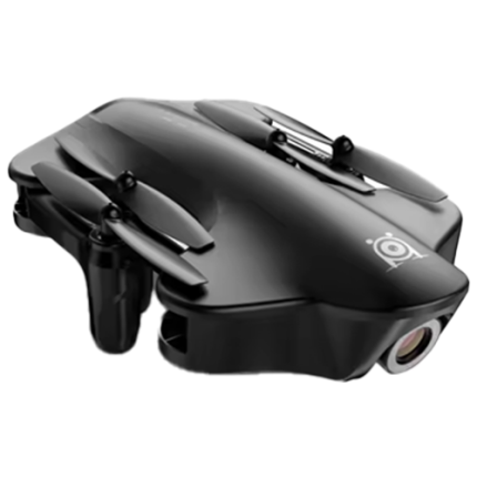
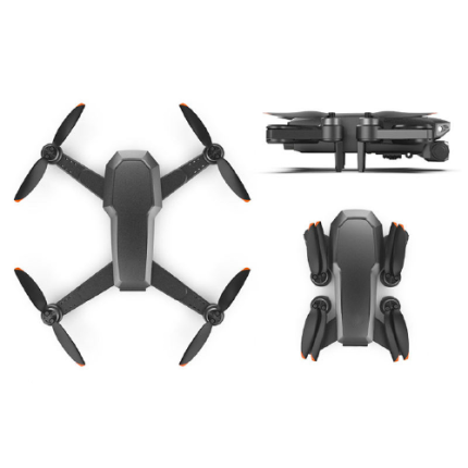
4 K Drone With 120° Wide-Angle Camera, 4-Axis Gyro, Long Range – GAOTek
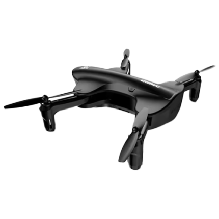
Brushless Radio Control Long-Distance Quadcopter – GAOTek
Compact Drone With OSD Accelerometer And VTX Compatibility – GAOTek

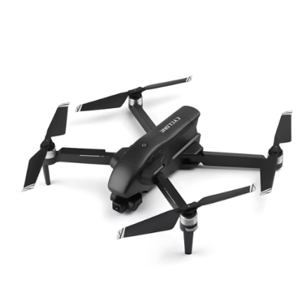
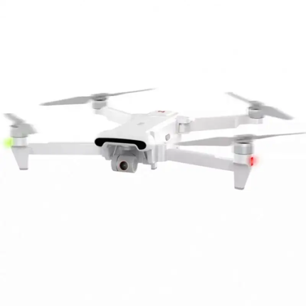
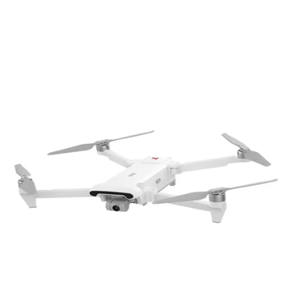
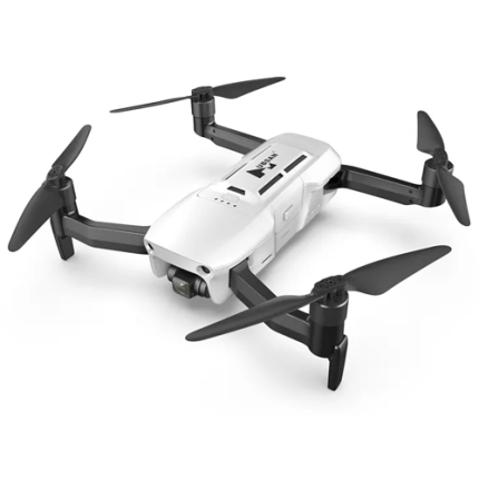
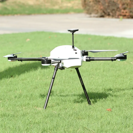
GAOTek 3-Axis Gimbal GPS Drone
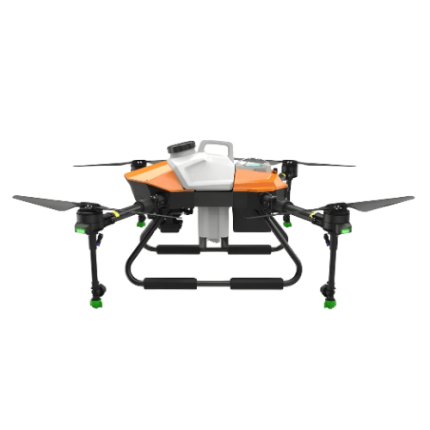

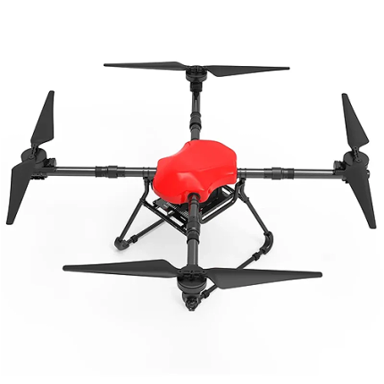
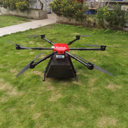
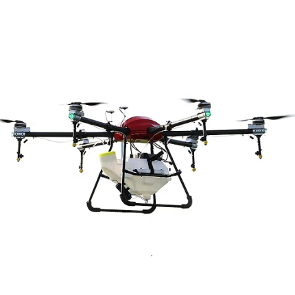
GAOTek Agricultural Drone Frame
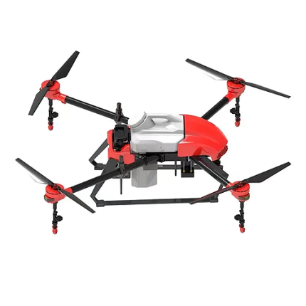
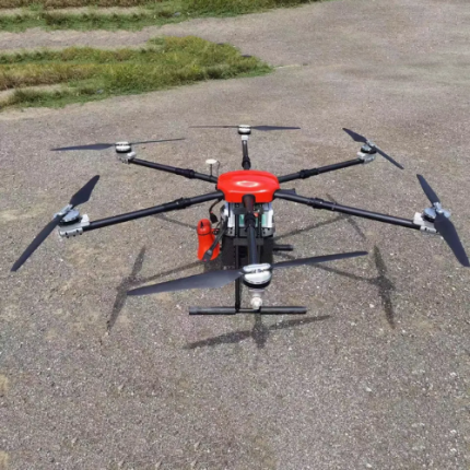
GaoTek Agriculture Drone

GAOTek Amiqi Four-Wing Remote
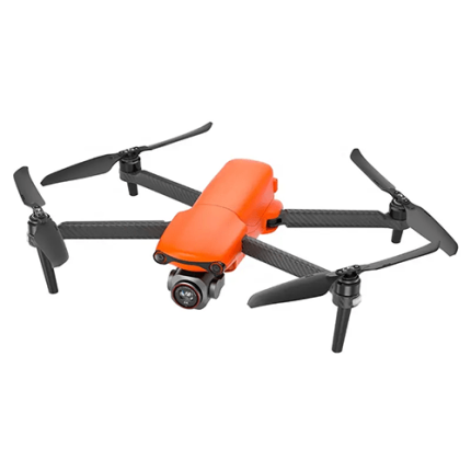
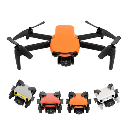
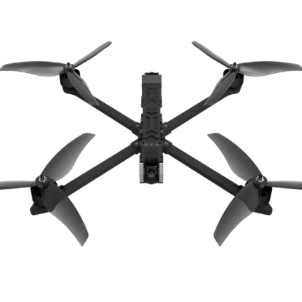
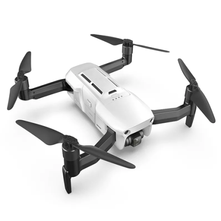
GAOTek Autel Robotics EVO
GAOTek Brushless Motor Long Range Drone

GAOTek Camera Brushless Motor
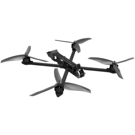
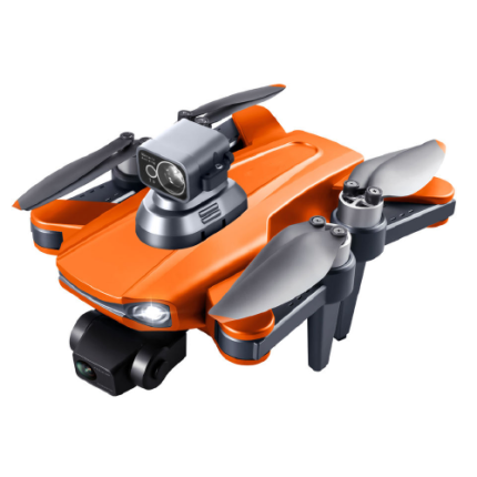
GAOTek Camera FPV Professional Drone Long Range
GAOTek Camera RC Drones

GAOTek Carbon Fiber 10 Inch Racing FPV

GAOTek Cheap Medical Delivery Drone

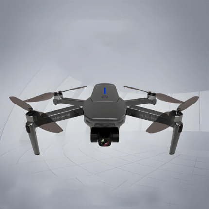
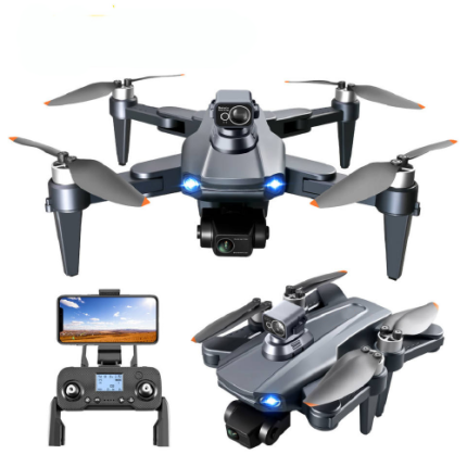
GAOTek Combo Version GPS Drone
GAOTek Delivery UAV Drone
GAOTek Drones FPV And GPS Obstacle Motors Long Range Professional Drones
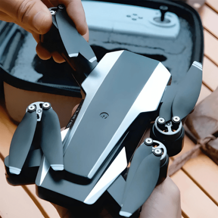
GAOTek Flying Mini Long Range Remote Control Selfie Photography Camera Drone
GAOTek FPV 4-axis Trainer Drone


GAOTek FPV 4-axis Trainer Drone

GAOTek FPV Professional Drone
GAOTek FPV Quadcopter Long Range Drone
GAOTek FPV Quadcopter Long Range Drone
GAOTek FVP Drone
GAO’s Long-Range Drones is composed of the following components:
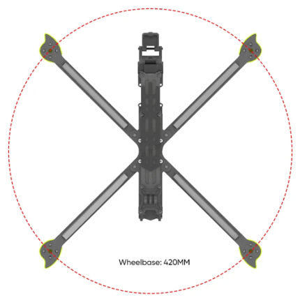
- Airframe and Structure
- Propulsion System
- Power Management System
- Flight Control System
- Communication System
- Autopilot and Navigation
- Sensors and Payload
- Ground Control Station (GCS)
- Safety and Redundancy Systems
- Software and Firmware
GAO Tek’s Long-Range Drones has the following functions:
- Surveillance and Reconnaissance: GAO’s Long-range drones are extensively utilized for surveillance and reconnaissance purposes. These drones can cover vast areas and provide real-time data and high-resolution imagery, which are critical for military, border security, and law enforcement operations. Their ability to fly at high altitudes and remain airborne for extended periods enhances their effectiveness in monitoring large and remote areas.
- Environmental Monitoring: In environmental monitoring, long-range drones play a crucial role. They can collect data on climate change, wildlife populations, deforestation, and natural disasters. Equipped with various sensors, these drones gather information on air and water quality, soil conditions, and radiation levels, providing valuable insights for environmental scientists and policy makers.
- Infrastructure Inspection: GAO Tek Long-range drones are increasingly used for inspecting infrastructure such as pipelines, power lines, railways, and bridges. They offer a safer, more cost-effective, and efficient alternative to traditional inspection methods. By utilizing advanced imaging technologies like LiDAR and thermal cameras, these drones can detect structural issues and prevent potential failures.
- Agricultural Applications: In agriculture, long-range drones facilitate precision farming by monitoring crop health, soil conditions, and irrigation systems over large expanses of farmland. They help farmers optimize resource usage, enhance crop yields, and reduce environmental impact. Drones equipped with multispectral sensors can assess plant health and detect pest infestations early, enabling timely interventions.
- Disaster Response and Management: GAO’s Long-range drones are invaluable in disaster response and management. They provide real-time situational awareness during natural disasters such as earthquakes, floods, and wildfires. Drones can deliver critical supplies to inaccessible areas, assess damage, and support search and rescue operations. Their ability to operate in hazardous conditions makes them an essential tool for emergency responders.
- Logistics and Delivery: In the logistics and delivery sector, long-range drones are revolutionizing supply chain management. They enable the transportation of goods over long distances, particularly to remote or underserved areas. Companies are exploring the use of drones for rapid delivery of medical supplies, essential goods, and even e-commerce packages, reducing delivery times and costs.
- Mapping and Surveying: Our long-range drones are extensively used for mapping and surveying large areas. They provide high-precision topographical data, which is essential for urban planning, construction, mining, and resource management. Drones equipped with advanced imaging systems can create detailed 3D maps and models, significantly improving the accuracy and efficiency of surveying projects.
- Communication and Connectivity: In regions with limited or disrupted communication infrastructure, long-range drones can act as temporary communication relays. They can provide internet connectivity and communication links in disaster-stricken areas or remote locations, facilitating coordination and information exchange during critical operations.
- Scientific Research: GAO’s Long-range drones support scientific research by enabling data collection in challenging environments. They are used in marine biology to monitor ocean health, in geology to study volcanic activity, and in archaeology to survey excavation sites. The ability to deploy various scientific instruments makes drones versatile tools for researchers across multiple disciplines.
GAO Tek’s Long-Range Drones comply with applicable industry standards such as:
- Regulatory Compliance (e.g., FAA, EASA)
- Airworthiness Standards
- Electromagnetic Compatibility (EMC) Standards
- Communication Standards
- Battery Safety Standards
- Payload Integration Standards
- Environmental Standards
- Data Security and Privacy Standards
Our Long-Range Drones helps our customers comply with relevant U.S. government regulations such as:
- Registration
- Remote ID
- Operations Over People
- Part 107 Certification
- Flight Restrictions (below 400 feet AGL, visual line of sight)
- No-Fly Zones
- Battery Safety
Our Long-Range Drones helps our customers comply with relevant Canadian government regulations such as:
- Registration
- Pilot Certification
- Flight Rules (visual line-of-sight)
- Restricted Areas
- Insurance
- Safety Guidelines
- Recording and Reporting
Our Long-Range Drones has the following applications:
- Agriculture and Forestry: GAO’s Long-range drones equipped with advanced sensors and imaging systems are used for precision agriculture and forestry management. They can monitor crop health, detect diseases, assess soil conditions, and even spray pesticides or fertilizers over large areas efficiently.
- Infrastructure Inspection: Our Drones with long-range capabilities are employed for inspecting infrastructure such as bridges, pipelines, and power lines. They can cover extensive distances and capture high-resolution images and videos, enabling engineers to detect structural issues without the need for manual inspections, which can be time-consuming and costly.
- Search and Rescue Operations: GAO Tek long-range drones are invaluable in search and rescue missions, especially in remote or hazardous environments. Equipped with thermal imaging cameras and other sensors, these drones can quickly cover large areas to locate missing persons or assess disaster-stricken areas for survivors.
- Environmental Monitoring: We are monitoring large-scale ecological changes such as deforestation, wildlife tracking, or coastal erosion, which requires drones that can cover significant distances over diverse terrain. Long-range drones equipped with specialized sensors help researchers gather data more efficiently and monitor changes over time.
- Security and Surveillance: GAO’s Long-range drones play a crucial role in security and surveillance operations, providing real-time aerial monitoring over expansive areas. They are used by law enforcement agencies, border patrols, and private security firms to monitor borders, track criminal activities, and ensure public safety.
- Delivery and Logistics: Our companies are exploring the use of long-range drones for delivery and logistics purposes, especially in remote areas or for urgent deliveries. These drones can transport goods over long distances, bypassing traditional transportation infrastructure and reducing delivery times.
- Mapping and Surveying: Surveying large areas for urban planning, construction projects, or land management requires detailed mapping data. Long-range drones equipped with LiDAR (Light Detection and Ranging) or photogrammetry systems can capture precise 3D maps and terrain models with high accuracy.
- Film and Media Production: In the entertainment industry, long-range drones are used for aerial cinematography and capturing stunning shots that were previously difficult or expensive to achieve. They provide filmmakers with the flexibility to film in remote locations and capture dynamic aerial sequences.
- Scientific Research: Researchers across various disciplines, from geology to wildlife biology, use long-range drones to conduct field studies and gather data in challenging environments. These drones enable scientists to study natural phenomena, monitor wildlife populations, and collect samples without disturbing the ecosystem.
- Emergency Response and Disaster Management: During natural disasters such as wildfires or hurricanes, long-range drones equipped with cameras and sensors can provide real-time situational awareness to emergency responders. They aid in assessing the extent of damage, planning rescue operations, and coordinating relief efforts efficiently.
Below are our resource pages containing useful information on Long-Range Drones:
FAQs on Long-Range Drones on GAOTek.com
How to Choose a Long-Range Drones
Components of a Long-Range Drones
Operation, Maintenance & Calibration of a Long-Range Drones
Customers in the U.S. and Canada of Long-Range Drones
Applications of Long-Range Drones in Agriculture
Our Long-Range Drones are in stock, can be shipped overnight within the continental U.S. and Canada from a nearby warehouse in the U.S. or Canada, and can be shipped globally.
We provide 24/7 support. If you have any questions, our technical experts can help you. Please fill out this form or email us.