


Description
Overview
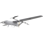
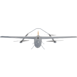
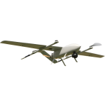
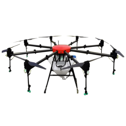
GAOTek introduces the Drone for Mapping and Aerial Photography, a groundbreaking solution that redefines the possibilities in the realm of unmanned aerial vehicles.
Features
- Versatile Design
- Precision Mapping
- High-Resolution Imaging
- Extended Flight Time
- Real-time Telemetry
Technical Specifications
| MTOW | 50.7 lb (23 kg) |
| Weight W/O Battery And Payload | 21.5 lb (9.76 kg) |
| Wingspan | 3.2 m (10.49 ft) |
| Max Payload (Battery Included) | 29.2 lb (13.24 kg) |
| Battery Weight | 15.8 lb (7.2 kg) |
| Suggested Payload Weight | 11.0 lb (5 kg) |
| Endurance | 2.5 hrs |
| Cruise Speed | 48 to 55 mi/h |
| Max Speed | 62.1 mi/h |
| Length | 1.2 m (3.9 ft) |
| Height | 5 m (16.4 ft) |
| Frame Weight | 7 lb (3.2 kg) |